Deutsche bahn pix4d 1

Pix4D Germany wins a competitive tender for Deutsche Bahn to monitor railway infrastructure maintenance and construction in Germany
11th March 2022

Pix4D Germany wins a competitive tender for Deutsche Bahn to monitor railway infrastructure maintenance and construction in Germany
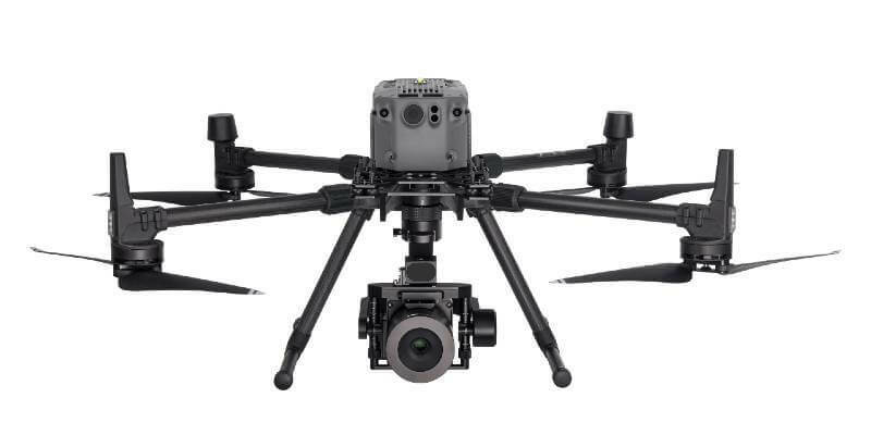
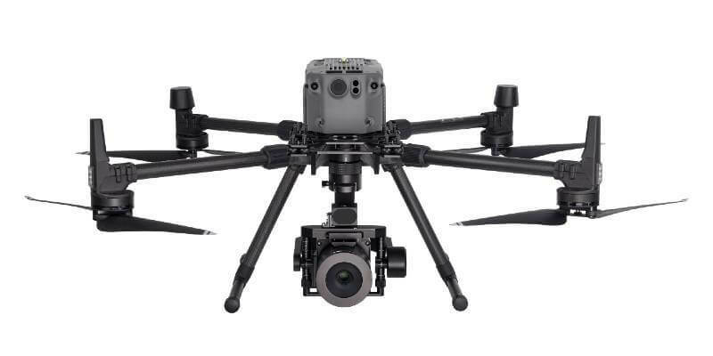
Phase One P3 on DJI 1

Phase One Selects Globe Flight as Sales Partner for Drone Solutions in Germany and Austria

10th February 2022

Phase One Selects Globe Flight as Sales Partner for Drone Solutions in Germany and Austria

Innovation unmanned aircraft 1200x400

FREQUENTIS Australasia to develop drone integration platform for Airservices Australia

1st February 2022

FREQUENTIS Australasia to develop drone integration platform for Airservices Australia
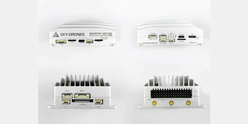
Sides of AIR Link 1

Sky-Drones Ventures into the World of AWS Greengrass and Customers
24th January 2022

Sky-Drones Ventures into the World of AWS Greengrass and Customers
Phase One Graphic Drone 4375 small 1

Phase One Names Remote Vision as Swiss Reseller of Drone Payloads

20th January 2022

Phase One Names Remote Vision as Swiss Reseller of Drone Payloads
Airlink left 1

AI Powered Hardware to Enhance UAV Capabilities
22nd December 2021

AI Powered Hardware to Enhance UAV Capabilities
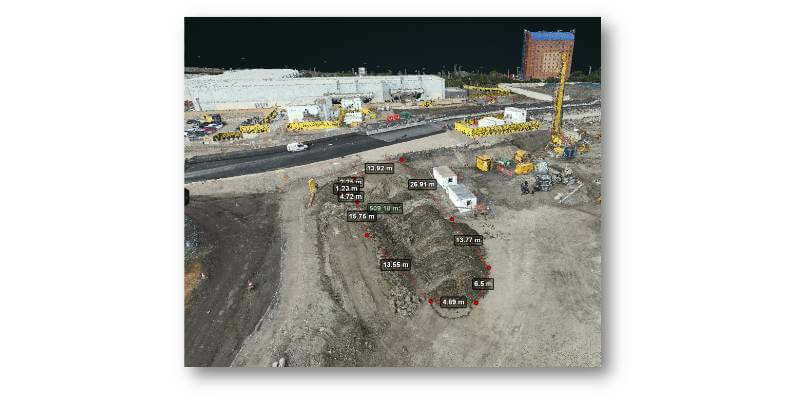
Site Scan outputs help construction teams with ground works 1

Brent Cross Town £7bn scheme improves workflows with new drone software
17th December 2021

Brent Cross Town £7bn scheme improves workflows with new drone software
SPH Engineering Introduces 1

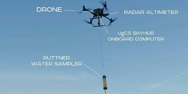
SPH Engineering Introduces UAV-based Remote Water Sampling System

13th December 2021

SPH Engineering Introduces UAV-based Remote Water Sampling System
Unnamed 2 1 1

Zephyr High Altitude Platform Station (HAPS) achieves connectivity in trial conducted by Airbus and NTT DOCOMO
15th November 2021

Zephyr High Altitude Platform Station (HAPS) achieves connectivity in trial conducted by Airbus and NTT DOCOMO
Skydio drone 1

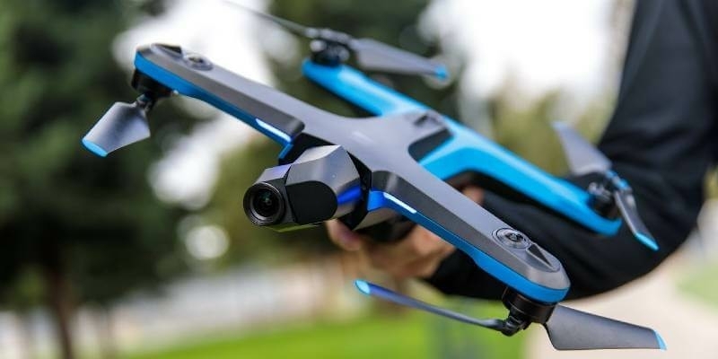
SimActive Software Used with Skydio Drones for Land Development Projects
11th November 2021

SimActive Software Used with Skydio Drones for Land Development Projects
UAVOS Autopilot upgraded 1

UAVOS UAS Autopilot Software Upgraded

10th November 2021

UAVOS UAS Autopilot Software Upgraded
P3 payload power line eyefly1

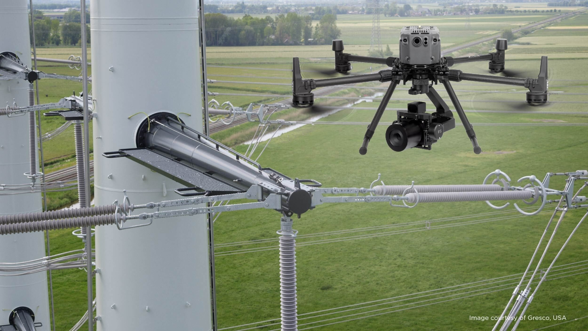
Phase One - P3 Payload Power Line Inspection Test Flight

5th November 2021

Phase One - P3 Payload Power Line Inspection Test Flight
P3 payload bridge nordic unmmaned1

Phase One - P3 Payload Bridge Inspection Test Flight

5th November 2021

Phase One - P3 Payload Bridge Inspection Test Flight
P3 payload cellphone tower Gresco1

Phase One - P3 Payload Cellphone Tower Inspection Flight
5th November 2021

Phase One - P3 Payload Cellphone Tower Inspection Flight
C sph engineering 1

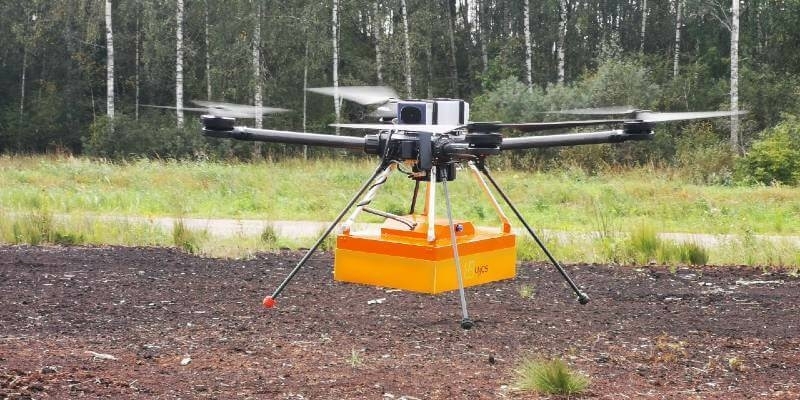
TUNDRA drone integrated with UgCS Integrated Systems solutions

4th November 2021

TUNDRA drone integrated with UgCS Integrated Systems solutions
GW22 800x400 1 1

Geo Week Conference Program and Speaker Lineup Announced

20th October 2021

Geo Week Conference Program and Speaker Lineup Announced
IMG 0044 1

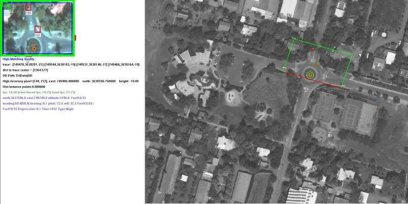
Bellwether Industries to present its private urban aircraft demonstrator for the first time at DroneX
1st October 2021

Bellwether Industries to present its private urban aircraft demonstrator for the first time at DroneX
Flight 1

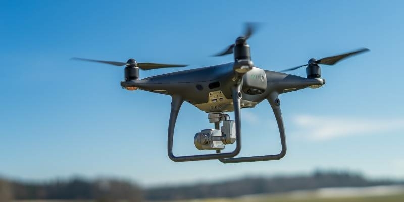
ProTrack Will Launch "Locator" and "Flight" Software in the UK
30th September 2021

ProTrack Will Launch "Locator" and "Flight" Software in the UK
Celestia Technologies Group joins European move to unlock long range drone potential 2

Celestia Technologies Group joins European move to unlock long-range drone potential

29th September 2021

Celestia Technologies Group joins European move to unlock long-range drone potential
Parrot anafi 1

Parrot announces ANAFI Ai Early Access Program for Professionals

24th September 2021

Parrot announces ANAFI Ai Early Access Program for Professionals
Drone X logo Colour 2 2 2

DroneX Tradeshow & Conference: Two Weeks to Go!

21st September 2021

DroneX Tradeshow & Conference: Two Weeks to Go!
Uls mini VUX SYS skiing area Cortina d Ampezzo 1

Intergeo 2021 Live + Digital, September 21-23, 2021: Join RIEGL at booth 20C.22, Hall 20 or digitally

16th September 2021

Intergeo 2021 Live + Digital, September 21-23, 2021: Join RIEGL at booth 20C.22, Hall 20 or digitally
Vertical farming 800x400

Vertical Farming Conference

13th September 2021

Vertical Farming Conference
Smart farming 800x400

Sensors, drones and satellites: smart farming for the future!

13th September 2021

Sensors, drones and satellites: smart farming for the future!
UAVOS helicopter UVH 170

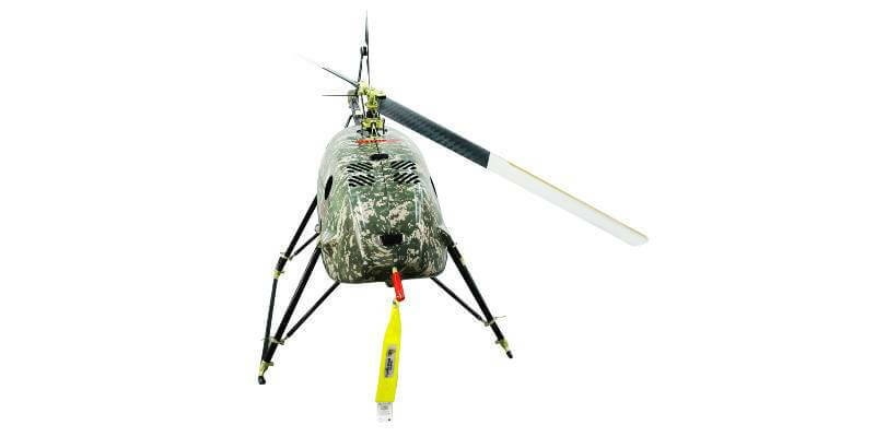
UAVOS' Supporting Rotorcraft Programs

9th September 2021

UAVOS' Supporting Rotorcraft Programs
Sim Active and DJI Zenmuse L1 Press Release 1

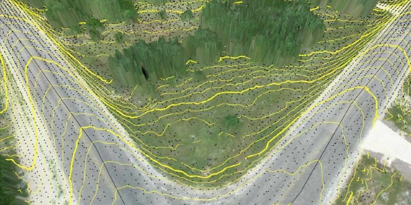
SimActive Develops Workflow for New DJI L1 LiDAR System
8th September 2021

SimActive Develops Workflow for New DJI L1 LiDAR System
Virtual Surveyor PR Graphic

Virtual Surveyor Improves Point Cloud Workflow to Fully Leverage Drone LiDAR Payloads

8th September 2021

Virtual Surveyor Improves Point Cloud Workflow to Fully Leverage Drone LiDAR Payloads

Drone X logo Colour 2 2 2

DroneX Tradeshow & Conference - the UK’s largest event dedicated to UAV products, parts, accessories and services

7th September 2021

DroneX Tradeshow & Conference - the UK’s largest event dedicated to UAV products, parts, accessories and services
209943c226 1

RIEGL to Exhibit and Present at Commercial UAV Expo Americas 2021

1st September 2021

RIEGL to Exhibit and Present at Commercial UAV Expo Americas 2021
Drone x logo

DroneX Tradeshow & Conference - What can you expect to see at the new show this year?

30th August 2021

DroneX Tradeshow & Conference - What can you expect to see at the new show this year?
Airdata ugcs collage

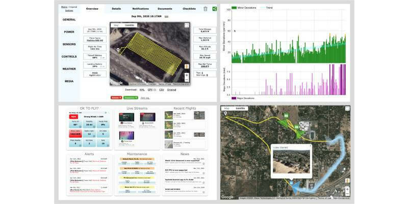
AirData and UgCS New Integration

20th August 2021

AirData and UgCS New Integration
Int v20 i05 News UVH 500 cargo drone

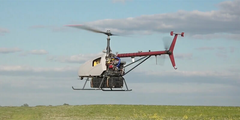
UAVOS Demonstrates its Customer UVH-500 Cargo Drone
19th August 2021

UAVOS Demonstrates its Customer UVH-500 Cargo Drone
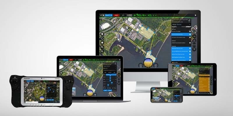
Int v20 i05 News sense Fly e Bee TAC ARTEMIS Tablet amd

senseFly Introduces eBee TAC Fixed-wing UAS
19th August 2021

senseFly Introduces eBee TAC Fixed-wing UAS
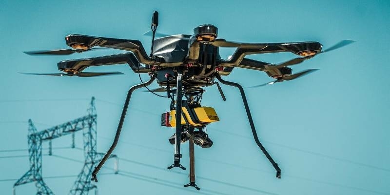
Multiscreen Image 1

PMG Assists Sky-Drones Technologies with Latest Industry Movement

15th August 2021

PMG Assists Sky-Drones Technologies with Latest Industry Movement
Drone X logo Colour 2 2 2

Brand new Drone show to run alongside Helitech Expo this year!
11th August 2021

Brand new Drone show to run alongside Helitech Expo this year!
YSC01026 2 1

YellowScan Announces New Distribution Partner in Taiwan, Data Surpass Technology

9th August 2021

YellowScan Announces New Distribution Partner in Taiwan, Data Surpass Technology
Parrot verizon

Parrot, Verizon, and Skyward bring first 4G LTE connected drone to the US market

5th August 2021

Parrot, Verizon, and Skyward bring first 4G LTE connected drone to the US market
Product Family 1920x700 green 1

Silicon Sensing showcases all-new inertial measurement products at AUVSI Xponential

28th July 2021

Silicon Sensing showcases all-new inertial measurement products at AUVSI Xponential
Beijing 1

Pix4D announces entering into an exclusive reseller partnership with Beijing Skymap Technology for mainland China

27th July 2021

Pix4D announces entering into an exclusive reseller partnership with Beijing Skymap Technology for mainland China
DJIM300 Yellow Scan2

SPH Engineering announces the update of UgCS for UAV-based LIDAR mapping

23rd July 2021

SPH Engineering announces the update of UgCS for UAV-based LIDAR mapping
UVH 500 cargo drone

UAVOS Demonstrates its Customer UVH-500 Cargo Drone

19th July 2021

UAVOS Demonstrates its Customer UVH-500 Cargo Drone
5 Promotion Social Media Image 2

Commercial UAV Expo Americas 2021

15th July 2021

Commercial UAV Expo Americas 2021
Sense Fly e Bee TAC ARTEMIS Tablet

senseFly Introduces eBee TAC Fixed-wing UAS For Enhanced Tactical Mapping In Government Safety, Security And Defense Missions

9th July 2021

senseFly Introduces eBee TAC Fixed-wing UAS For Enhanced Tactical Mapping In Government Safety, Security And Defense Missions
UB280 A 1

u-blox’s PointPerfect GNSS correction service brings centimeter-level positioning to the mass market

7th July 2021

u-blox’s PointPerfect GNSS correction service brings centimeter-level positioning to the mass market
Int v20 i04 GPR in Greenland 2018 p24

Looking underground from above

1st July 2021

Looking underground from above
Int v20 i04 News Hi DRON Wingside View 27km

UAVOS and STRATODYNAMICS Test HiDRON Stratospheric Glider

1st July 2021

UAVOS and STRATODYNAMICS Test HiDRON Stratospheric Glider
Int v20 i04 News Parrot ANAFI USA lifestyle drone 02 amd

Parrot launches its Bug Bounty in partnership with YesWeHack

1st July 2021

Parrot launches its Bug Bounty in partnership with YesWeHack
Image001

Parrot unveils ANAFI Ai: The first 4G connected robotic UAV

1st July 2021

Parrot unveils ANAFI Ai: The first 4G connected robotic UAV