Drones not bridges answers Boris Johnson’s cross Channel suggestion
22nd January 2018
Drones not bridges answers Boris Johnson’s cross Channel suggestion22nd January 2018
Drones not bridges answers Boris Johnson’s cross Channel suggestion16th January 2018
New Dealer in Australia and New Zealand Announcement11th January 2018
RIMS receiving class approval from Lloyd’s Register9th January 2018
Texo DSI First To Use Topcon Falcon 8+ UAV System In The UK5th January 2018
HERE and Unifly to map the airspace for drones

18th December 2017
A year of progress for commercial drone industry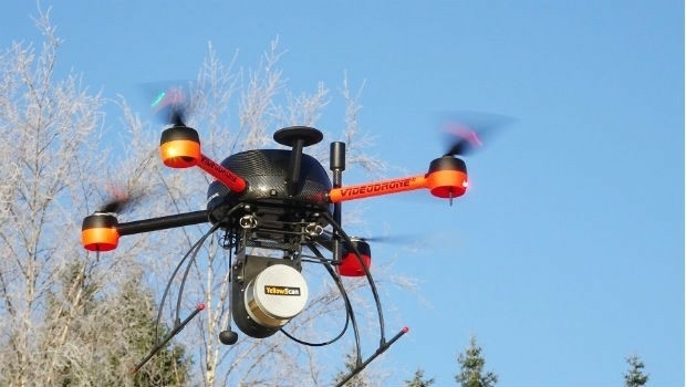
14th December 2017
NGA, NATO and the UK MoD Headline DGI 2018 Speaker Lineup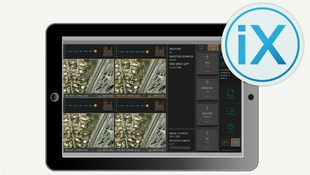
13th December 2017
Phase One Releases iX Capture 3.0 Software for Aerial Photography30th November 2017
RIMS BV: external specialist for use of drones during surveys30th November 2017
World's First fully Autonomous Flight of "Smart Drone"29th November 2017
DGI 18-The Premier Annual Meeting for Geospatial Intelligence Leaders27th November 2017
Terra Drone And LG U+ Put UTM System Into South Korea23rd November 2017
Swiss pilot Dario Neuenschwander wins the FAI Drone Racing World Cup22nd November 2017
The world is on the brink of a technological revolution22nd November 2017
Martek Establish Dedicated Maritime Unmanned Aviation Division21st November 2017
AirGon LLC Appointed DJI Enterprise Dealer21st November 2017
Pix4D partners with Kokusai Kogyo in Japan21st November 2017
New Announcements from Aero Surveillance20th November 2017
New Announcement from Aero Surveillance Systems15th November 2017
Centrik Helps Texo DSI Evidence UAV Excellence15th November 2017
senseFly teams up with Esri to host free ‘Drone to GIS’ webinar9th November 2017
DroneSAR Win European Satellite Navigation Competition
3rd November 2017
Phase One Industrial partners with Drone Nerds31st October 2017
SimActive Automates Direct Georeferencing26th October 2017
Commercial UAV Expo and Drone World Expo Come Together in 201826th October 2017
Orbit GT updates 3D Mapping Cloud with great new UAV support24th October 2017
Orbit GT launches new Feature Extraction product for Drones23rd October 2017
Septentrio launches the AsteRx-m2a and AsteRx-m2a UAS23rd October 2017
Commercial UAV Expo Announces Highlights of Upcoming 2017 Event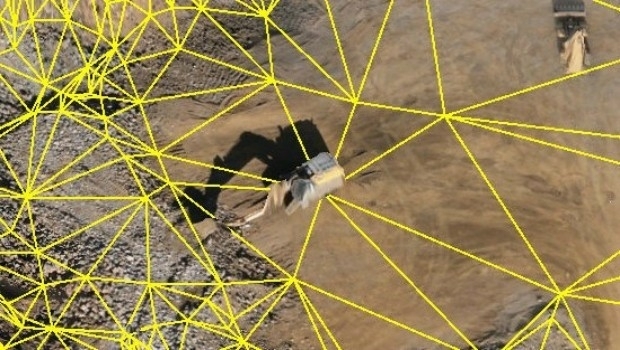
21st October 2017
Virtual Surveyor Unveils Productivity Tools at Commercial UAV Expo
13th October 2017
Airborne LiDAR production fully integrated with Leica HxMap workflow11th October 2017
UAV exhibition opens doors to businesses across Europe
10th October 2017
UAV exhibition opens doors to businesses across Europe10th October 2017
Topcon Leadership at Bentley Year in Infrastructure Conference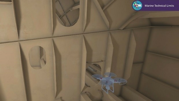
4th October 2017
Bureau Veritas joins the RECOMMS drones project
2nd October 2017
Drone Major Group - launches today to provide global connectivity27th September 2017
INTERGEO 2017 Berlin: Geo-IT-event officially opened26th September 2017
Commercial UAV Expo Europe Moves to Amsterdam in April, 2018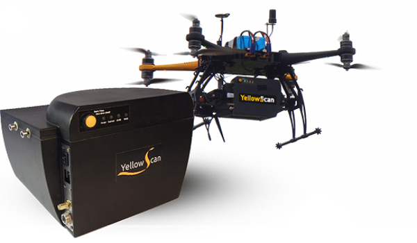
26th September 2017
YellowScan & Quantum Systems partnership
21st September 2017
senseFly to launch industry-specific solutions at INTERGEO 2017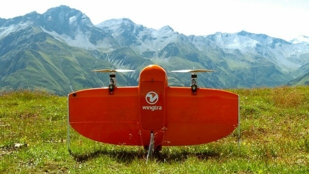
21st September 2017
Wingtra partners with Kentucky-based Precision Capture