
INTERGEO: the global hub for Geo business
7th January 2016
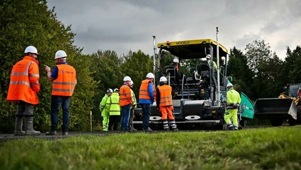
INTERGEO: the global hub for Geo businessThe 2D and 3D measurement of points, distances and angles of features and objects on the Earth’s surface. See also Surveying Instrumentation topic. This topic covers the science and techniques that govern the 2D and 3D measurement of points, distances and angles of natural and man-made features and objects on the Earth’s surface. These measurements are acquired for a wide range of practical applications in construction, engineering, land use planning, mapmaking and cadastral projects, See also Surveying Instrumentation topic for the various tools employed to acquire survey measurements.
7th January 2016
INTERGEO: the global hub for Geo business


28th October 2015
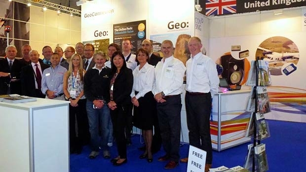
INTERGEO 2015 Review - Going global. Going great!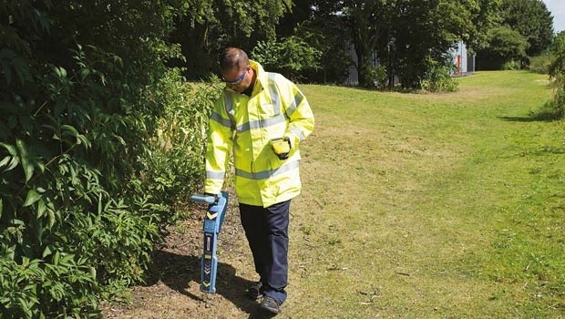


25th August 2015
From the wisdom of the ages to challenges of the modern world
28th November 2014
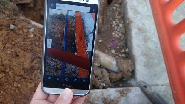
The power of mobility: creating a smarter workforce in the field10th October 2014
Cutting costs in aerial surveying by combining LiDAR and hyperspectral imaging12th September 2014
New digital map reveals stunning hidden archaeology of Stonehenge16th July 2014
Hexagon Geosystems acquires Geodata Diffusion SAS14th January 2014
Algiz 10X: ready for the rough and tumble
17th July 2012
From ocean floor to church spires - TerraImaging