
Leica Lino ML180 saves costs with smart one-man operation
7th June 2016
Leica Lino ML180 saves costs with smart one-man operationThe 2D and 3D measurement of points, distances and angles of features and objects on the Earth’s surface. See also Surveying Instrumentation topic. This topic covers the science and techniques that govern the 2D and 3D measurement of points, distances and angles of natural and man-made features and objects on the Earth’s surface. These measurements are acquired for a wide range of practical applications in construction, engineering, land use planning, mapmaking and cadastral projects, See also Surveying Instrumentation topic for the various tools employed to acquire survey measurements.
7th June 2016
Leica Lino ML180 saves costs with smart one-man operation4th June 2016
SonarMite™ Drivers now Available for Trimble Access Field Software4th June 2016
Seafloor adds a Second Reson SeaBat T50-P MBES to Rental Pool
1st June 2016
Fugro to play Key Role in Norway's Coastal Highway Improvement Programme
31st May 2016
SeaRobotics Delivers Bathymetric Unmanned Surface Vehicles to China30th May 2016
Gexcel at the 3D Faro User Conference Asia Pacific 2016
27th May 2016
Juniper Systems Announces New Windows 10 Rugged Tablet: Mesa 2™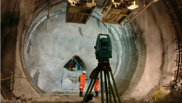
23rd May 2016
FOCUS 35 Total Station Monitors Dam For Movement19th May 2016
Topcon announces integration agreement with Volvo CE18th May 2016
Septentrio Introduces “Future Proof” GNSS RTK Technology for Surveyors18th May 2016
Harris Geospatial Solutions to Offer Icaros OneButton™ with ENVI®18th May 2016
USGIF Launches Universal GEOINT Certification Program

17th May 2016
Handheld Introduces its First Intrinsically Safe Ultra-Rugged Computer

16th May 2016
Horizon Launch High Spec Nearshore Survey Boat
13th May 2016
Bluesky Data Supports Feasibility Study for New Village Development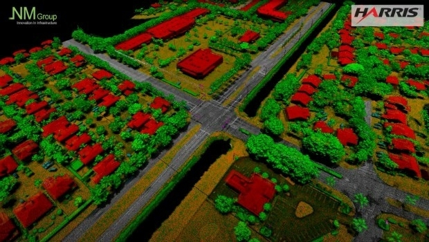
12th May 2016
NM Group collaborate with Harris Corporation

11th May 2016
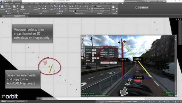
Orbit GT launches AutoCAD MAP plugin for Mobile Mapping
11th May 2016
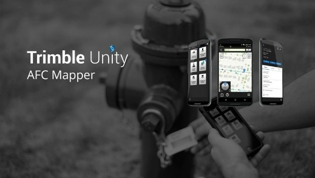
Trimble Free App for AMERICAN Flow Control Water Valves and Hydrants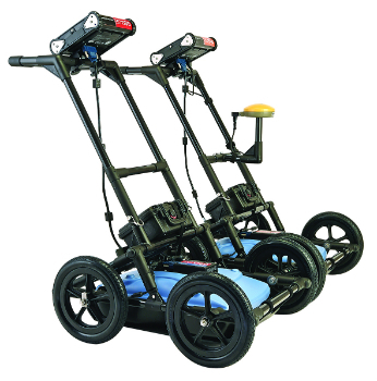
10th May 2016
Radiodetection launches new Ground Penetrating Radar systems

9th May 2016
High profile satellite derived bathymetry project from Proteus
9th May 2016
Arithmetica Reveals Latest Tech at Museums and Heritage Show
5th May 2016
Aerial Mapping Company Bluesky Announces Expansion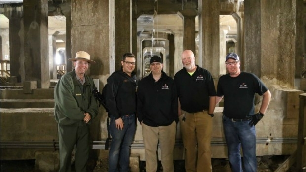
5th May 2016
National Mall Employs HighTech Surveying for 21st-Century Preservation
5th May 2016
Senceive Making Waves In Wireless Monitoring5th May 2016
Hemisphere GNSS Announces Management Changes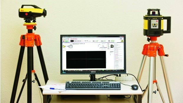
4th May 2016
Leica releases new calibration system for value-added service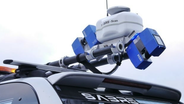
3rd May 2016
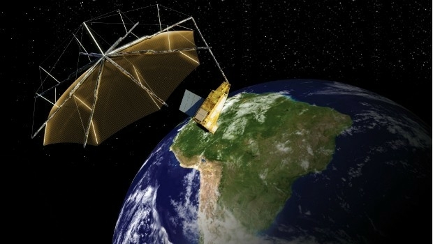
Airbus Defence and Space signs contract to build Biomass
27th April 2016
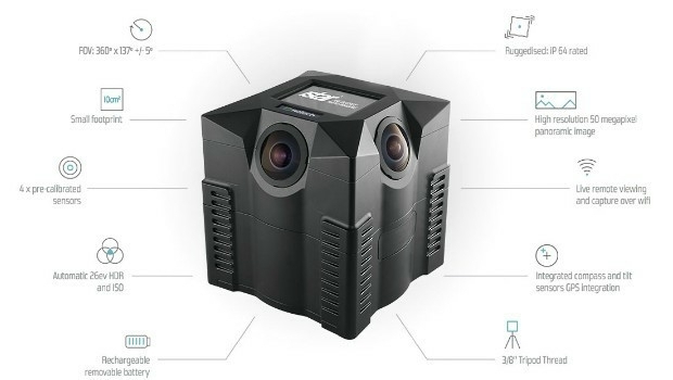
NCTech and Top Gear USA capture the Rubicon Trail in 360 degrees
27th April 2016
Bluesky Aerial Photomap Definitive Information Resource for Irish Council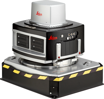
26th April 2016
Leica Geosystems delivers 10th DMC III aerial camera
26th April 2016
KOREC partners with Cadcorp to integrate field data capture21st April 2016
Trimble Partners with the University of Cambridge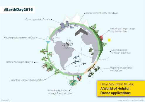
21st April 2016
Earth Day 2016: From mountain to sea, a world of helpful drone apps
21st April 2016
Setting the Standard for Survey Equipment Hire
21st April 2016
Leica Geosystems wins 2 Red Dot Design Awards
20th April 2016
Anatum Field Evaluation of Bluetooth GNSS Receivers20th April 2016
MicroPilot Selects Spirent GNSS Simulators