
Texo DSI First To Use Topcon Falcon 8+ UAV System In The UK
9th January 2018
Texo DSI First To Use Topcon Falcon 8+ UAV System In The UKThe 2D and 3D measurement of points, distances and angles of features and objects on the Earth’s surface. See also Surveying Instrumentation topic. This topic covers the science and techniques that govern the 2D and 3D measurement of points, distances and angles of natural and man-made features and objects on the Earth’s surface. These measurements are acquired for a wide range of practical applications in construction, engineering, land use planning, mapmaking and cadastral projects, See also Surveying Instrumentation topic for the various tools employed to acquire survey measurements.

9th January 2018
Texo DSI First To Use Topcon Falcon 8+ UAV System In The UK5th January 2018
2G Delivers Laser Scanning System to Kongsberg2nd January 2018
Fugro Wins Environmental Leadership Award23rd December 2017
Online auction of surveying equipment FACTO GEO.23rd December 2017
Supergeo Teams up with DataGNSS to Provide a Cost-effective RTK Solution22nd December 2017
Fugro’s Data Brings Successful Close To The Search For Lost Sub AE1
21st December 2017
Healthcare to Smart Cities Showcased by Dassault Systèmes at CES 201820th December 2017
ComNav Introduces Rugged R500 Android-Based GNSS Data Collector20th December 2017
Topcon and Bentley announce kick-off of Constructioneering Academy20th December 2017
Hexagon Mining releases improved schedule optimizer18th December 2017
Josh Weiss Named President of Hexagon Mining_preview.jpg)
18th December 2017
£4.4m to help reduce 'hidden hunger' in Ethiopia and Malawi18th December 2017
Survey Association issues new guidance on specifying a utility survey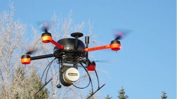
13th December 2017
RUAS and Bangor University work together12th December 2017
ASCO-DAITO selects Siteco Pave-Scanner Pavement Mobile Mapping System
11th December 2017
Bouygues Construction Teams with Dassault Systèmes and Accenture4th December 2017
Fugro Awarded Third Ground Investigation Package1st December 2017
Fugro Wins Ørsted Contracts For Site Investigations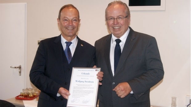
30th November 2017
Dr Wolfgang Steinborn Awarded DDGI’s Golden Badge of Honor30th November 2017
EarthSense Releases New Nationwide Map of Air Pollution30th November 2017
OGC seeks public comment on CDB Multi-spectral Imagery Extension29th November 2017
Scientific-grade GNSS with Real Time Kinematic Satellite Navigation29th November 2017
Chemistry ‘insufficiently recognised’ in fight against climate change
28th November 2017
Fugro To Bring Survey Expertise To The Search For Lost WW1 Submarine25th November 2017
EarthServer: 1+ Petabyte Analysis-Ready Datacubes
22nd November 2017
The world is on the brink of a technological revolution22nd November 2017
SSTL and ASTROSCALE team up for Orbital Debris Removal missions21st November 2017
Tersus Announces BX316D to Extend GNSS OEM Board Offering21st November 2017
Rennes, France Virtually Experiences its Sustainable Future21st November 2017
New Precise Point Positioning Module comes to Carlson SurveyGNSS
20th November 2017
New Announcement from Aero Surveillance Systems16th November 2017
GeoCue adds Puerto Rico LIDAR data to Support Hurricane Recovery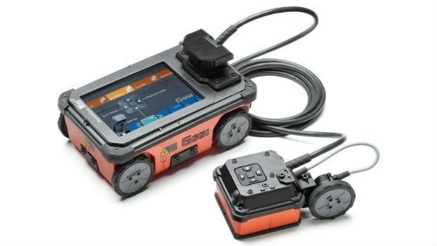
15th November 2017
GSSI Showcases It’s Latest GPR Technology at World of Concrete 2018
15th November 2017
Centrik Helps Texo DSI Evidence UAV Excellence15th November 2017
Trimble Expands CenterPoint RTX FAST Correction Service15th November 2017
Hi-Target introduces new high performance GNSS Receiver and GIS product13th November 2017
MV Kobi Ruegg Joins Fugro’s Survey Vessel Fleet13th November 2017
JLT Mobile Computers Selected by Steketee for Smart Farming13th November 2017
Hemisphere GNSS Announces Major Enhancements to Its Atlas® GNSS12th November 2017
Hemisphere GNSS Debuts A222 Scalable GNSS Smart Antenna
10th November 2017
Tersus Announces Precis Board Firmware V1.15 Release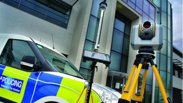
8th November 2017
West Yorkshire Police adopt Trimble SX10 technology8th November 2017
Introducing new high-performance, large screen Trimble T10 tablet
