Terrestrial Surveying

The 2D and 3D measurement of points, distances and angles of features and objects on the Earth’s surface. See also Surveying Instrumentation topic. This topic covers the science and techniques that govern the 2D and 3D measurement of points, distances and angles of natural and man-made features and objects on the Earth’s surface. These measurements are acquired for a wide range of practical applications in construction, engineering, land use planning, mapmaking and cadastral projects, See also Surveying Instrumentation topic for the various tools employed to acquire survey measurements.

Why Irish eyes are smiling (from import)

Why Irish eyes are smiling

20th March 2018

Why Irish eyes are smiling
New SR3 underground laser scanner from Maptek (from import)

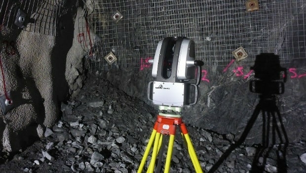
New SR3 underground laser scanner from Maptek

20th March 2018

New SR3 underground laser scanner from Maptek
SCTX 2018: technology for greater security (from import)
SCTX 2018: technology for greater security

19th March 2018

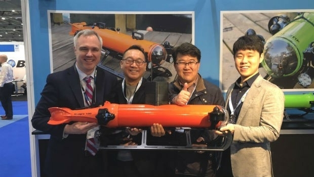
SCTX 2018: technology for greater security
Aquabotix Announces Sale of Hybrid Vehicle to KIGAM (from import)
Aquabotix Announces Sale of Hybrid Vehicle to KIGAM

16th March 2018

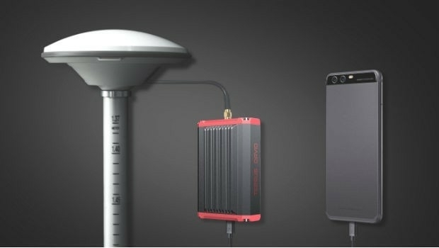
Aquabotix Announces Sale of Hybrid Vehicle to KIGAM
Tersus Takes New Stride into Surveying with David GNSS Receiver (from import)

Tersus Takes New Stride into Surveying with David GNSS Receiver

16th March 2018

Tersus Takes New Stride into Surveying with David GNSS Receiver
The Link (from import)

The Link

15th March 2018

The Link
University of Oldenburg Deploys Globalstar Satellite Technology (from import)
University of Oldenburg Deploys Globalstar Satellite Technology

15th March 2018

University of Oldenburg Deploys Globalstar Satellite Technology
Hemisphere GNSS Announces New Products (from import)

Hemisphere GNSS Announces New Products

14th March 2018

Hemisphere GNSS Announces New Products
Hemisphere GNSS New Atlas®-Capable Vector™ V1000 GNSS Receiver (from import)
Hemisphere GNSS New Atlas®-Capable Vector™ V1000 GNSS Receiver

14th March 2018

Hemisphere GNSS New Atlas®-Capable Vector™ V1000 GNSS Receiver
4 weeks until Commercial UAV Expo Europe, 3 days to save. (from import)

4 weeks until Commercial UAV Expo Europe, 3 days to save.

13th March 2018

4 weeks until Commercial UAV Expo Europe, 3 days to save.
Septentrio announces special version of AsteRx-U MARINE receiver (from import)

Septentrio announces special version of AsteRx-U MARINE receiver

13th March 2018

Septentrio announces special version of AsteRx-U MARINE receiver

Space Flight Laboratory to Highlight Missions at Satellite 2018

8th March 2018

Space Flight Laboratory to Highlight Missions at Satellite 2018
NavAidDrone: new drone-based measurement system (from import)
NavAidDrone: new drone-based measurement system

6th March 2018

NavAidDrone: new drone-based measurement system
Wingtra selects Septentrio GNSS board for new drone (from import)

Wingtra selects Septentrio GNSS board for new drone

28th February 2018

Wingtra selects Septentrio GNSS board for new drone
Fugro Returns To China For Gas Hydrate Research Project (from import)
Fugro Returns To China For Gas Hydrate Research Project

22nd February 2018

Fugro Returns To China For Gas Hydrate Research Project
Topcon To Showcase The Latest Automated Workflows (from import)

Topcon To Showcase The Latest Automated Workflows

22nd February 2018

Topcon To Showcase The Latest Automated Workflows
test - do not submit (from import)

test - do not submit

22nd February 2018

test - do not submit
Class approval for Drone inspection of confined spaces for RIMS (from import)

Class approval for Drone inspection of confined spaces for RIMS

20th February 2018

Class approval for Drone inspection of confined spaces for RIMS

SIGNALIS becomes Airbus

19th February 2018

SIGNALIS becomes Airbus
Mauritanian HV Electric Transmission Corridor to be Surveyed (from import)

Mauritanian HV Electric Transmission Corridor to be Surveyed

13th February 2018

Mauritanian HV Electric Transmission Corridor to be Surveyed

AirGon LLC Appointed North American Distributor for YellowScan

13th February 2018

AirGon LLC Appointed North American Distributor for YellowScan
Bluesky Innovation Uses Mobile Phones to Create 3D Maps (from import)
Bluesky Innovation Uses Mobile Phones to Create 3D Maps

12th February 2018

Bluesky Innovation Uses Mobile Phones to Create 3D Maps
Airbus-built Aeolus successfully passes all tests in Liège (Belgium) (from import)

Airbus-built Aeolus successfully passes all tests in Liège (Belgium)

12th February 2018

Airbus-built Aeolus successfully passes all tests in Liège (Belgium)
Teledyne Optech Titan lidar enables discovery of extended Mayan ruins (from import)
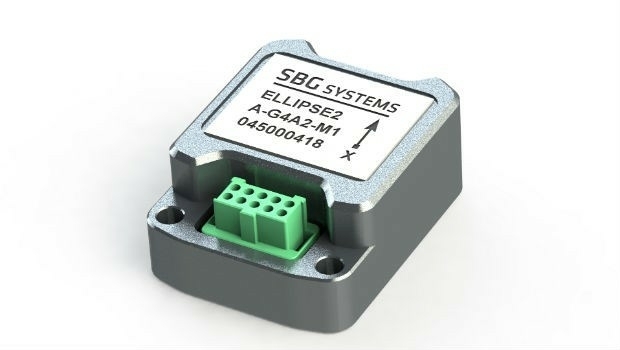
Teledyne Optech Titan lidar enables discovery of extended Mayan ruins

7th February 2018

Teledyne Optech Titan lidar enables discovery of extended Mayan ruins
Announcement at the International LiDAR Mapping Forum Symposium (from import)

Announcement at the International LiDAR Mapping Forum Symposium

6th February 2018

Announcement at the International LiDAR Mapping Forum Symposium
RIEGL Wins a Prestigious MAPPS Geospatial Excellence Award (from import)

RIEGL Wins a Prestigious MAPPS Geospatial Excellence Award

1st February 2018

RIEGL Wins a Prestigious MAPPS Geospatial Excellence Award
EarthSense Systems Appoints Thomas Hall as Managing Director (from import)

EarthSense Systems Appoints Thomas Hall as Managing Director

1st February 2018

EarthSense Systems Appoints Thomas Hall as Managing Director

Geovation Programme seeks new GeoTech and PropTech disruptors
29th January 2018

Geovation Programme seeks new GeoTech and PropTech disruptors
SuperSurv 10.1’s Support for RTCM 3.1 (from import)

SuperSurv 10.1’s Support for RTCM 3.1

29th January 2018

SuperSurv 10.1’s Support for RTCM 3.1
ComNav Technology Introduces Powerful T300 Plus GNSS Receiver (from import)

ComNav Technology Introduces Powerful T300 Plus GNSS Receiver

26th January 2018

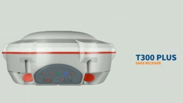
ComNav Technology Introduces Powerful T300 Plus GNSS Receiver
Sales / Business Development Manager (from import)

Sales / Business Development Manager

26th January 2018

Sales / Business Development Manager
IDS GeoRadar moves to new headquarters in Pisa, Italy (from import)
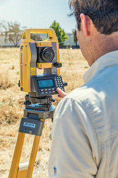
IDS GeoRadar moves to new headquarters in Pisa, Italy

24th January 2018

IDS GeoRadar moves to new headquarters in Pisa, Italy
Topcon announces new manual total station (from import)

Topcon announces new manual total station

24th January 2018

Topcon announces new manual total station

Belgocontrol selects Unifly to develop digital platforms for drone users
24th January 2018

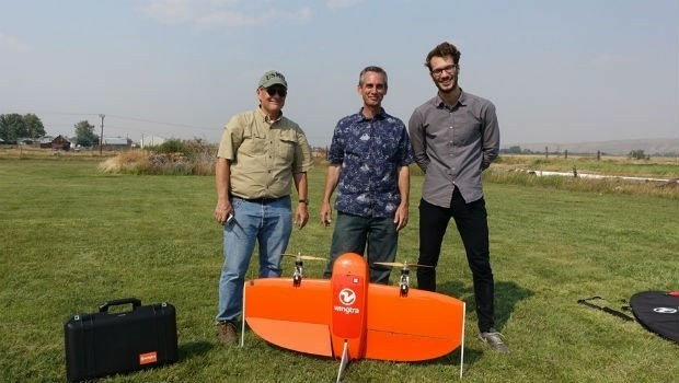
Belgocontrol selects Unifly to develop digital platforms for drone users
Wingtra partners with RDO Integrated Controls (from import)
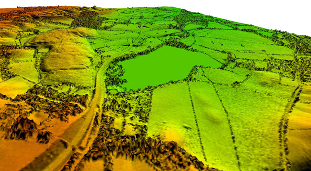
Wingtra partners with RDO Integrated Controls

23rd January 2018

Wingtra partners with RDO Integrated Controls
Bluesky Remote Sensing Data Improves Efficiency for WSP (from import)
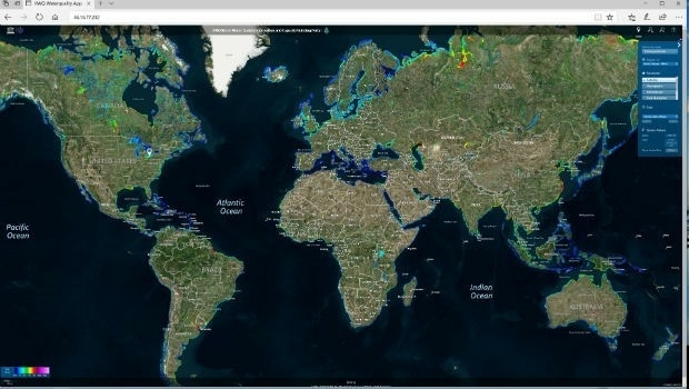
Bluesky Remote Sensing Data Improves Efficiency for WSP

23rd January 2018

Bluesky Remote Sensing Data Improves Efficiency for WSP
Global Water Quality Portal Built to Support UNESCO Programme (from import)

Global Water Quality Portal Built to Support UNESCO Programme

22nd January 2018

Global Water Quality Portal Built to Support UNESCO Programme
Drones not bridges answers Boris Johnson’s cross Channel suggestion (from import)

Drones not bridges answers Boris Johnson’s cross Channel suggestion

22nd January 2018

Drones not bridges answers Boris Johnson’s cross Channel suggestion
Fugro Undertakes Surveys for UAE Hail and Ghasha Gas Development (from import)

Fugro Undertakes Surveys for UAE Hail and Ghasha Gas Development

19th January 2018

Fugro Undertakes Surveys for UAE Hail and Ghasha Gas Development

EARSC and AGI sign memorandum of understanding

17th January 2018

EARSC and AGI sign memorandum of understanding

New Dealer in Australia and New Zealand Announcement

16th January 2018

New Dealer in Australia and New Zealand Announcement
GSSI Adds Drill Hole Feature to StructureScan™ Mini XT (from import)

GSSI Adds Drill Hole Feature to StructureScan™ Mini XT

16th January 2018

GSSI Adds Drill Hole Feature to StructureScan™ Mini XT
Orbit GT and CHC Navigation, China, sign Reseller Agreement (from import)

Orbit GT and CHC Navigation, China, sign Reseller Agreement

16th January 2018

Orbit GT and CHC Navigation, China, sign Reseller Agreement

OceanGate and 2G Robotics to Laser Scan the RMS Titanic
13th January 2018

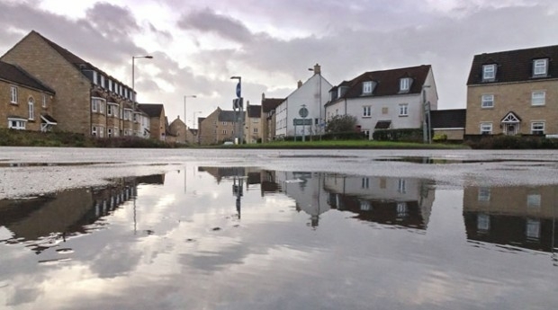
OceanGate and 2G Robotics to Laser Scan the RMS Titanic
Bluesky LiDAR Helps Wiltshire Council Tackle Flooding Risk (from import)

Bluesky LiDAR Helps Wiltshire Council Tackle Flooding Risk

11th January 2018

Bluesky LiDAR Helps Wiltshire Council Tackle Flooding Risk
Handheld launches the NAUTIZ X9 outdoor-rugged Android PDA (from import)

Handheld launches the NAUTIZ X9 outdoor-rugged Android PDA

10th January 2018

Handheld launches the NAUTIZ X9 outdoor-rugged Android PDA
EarthSense Sensors Evidence Clean Air Initiatives for BBC (from import)

EarthSense Sensors Evidence Clean Air Initiatives for BBC

10th January 2018

EarthSense Sensors Evidence Clean Air Initiatives for BBC
Texo DSI First To Use Topcon Falcon 8+ UAV System In The UK (from import)

Texo DSI First To Use Topcon Falcon 8+ UAV System In The UK

9th January 2018

Texo DSI First To Use Topcon Falcon 8+ UAV System In The UK