Terrestrial Surveying

The 2D and 3D measurement of points, distances and angles of features and objects on the Earth’s surface. See also Surveying Instrumentation topic. This topic covers the science and techniques that govern the 2D and 3D measurement of points, distances and angles of natural and man-made features and objects on the Earth’s surface. These measurements are acquired for a wide range of practical applications in construction, engineering, land use planning, mapmaking and cadastral projects, See also Surveying Instrumentation topic for the various tools employed to acquire survey measurements.

CSA Implements Innovative Technology for Tracing Sewage Outfalls (from import)

CSA Implements Innovative Technology for Tracing Sewage Outfalls

10th May 2018

CSA Implements Innovative Technology for Tracing Sewage Outfalls
InGaAs PIN Photodiodes - IG22 Series (from import)

InGaAs PIN Photodiodes - IG22 Series

10th May 2018

InGaAs PIN Photodiodes - IG22 Series
Data Gateway brings powerful data validation and processing via a self-serve, training-free experien (from import)

Data Gateway brings powerful data validation and processing via a self-serve, training-free experien

9th May 2018

Data Gateway brings powerful data validation and processing via a self-serve, training-free experien
Exciting toolkit of technologies on display at GEO Business 2018 (from import)

Exciting toolkit of technologies on display at GEO Business 2018

8th May 2018

Exciting toolkit of technologies on display at GEO Business 2018

GPI Geospatial Purchases RIEGL VQ-1560i Airborne LiDAR System!

7th May 2018

GPI Geospatial Purchases RIEGL VQ-1560i Airborne LiDAR System!
Septentrio supplies AsteRx-m2 for Delair UX11 large-area mapping UAV (from import)

Septentrio supplies AsteRx-m2 for Delair UX11 large-area mapping UAV

4th May 2018

Septentrio supplies AsteRx-m2 for Delair UX11 large-area mapping UAV
QuestUAV Closes deal to Map World’s Largest Construction Project (from import)

QuestUAV Closes deal to Map World’s Largest Construction Project

4th May 2018

QuestUAV Closes deal to Map World’s Largest Construction Project
SphereVision Introduces Smoke Layer and VR Viewing (from import)

SphereVision Introduces Smoke Layer and VR Viewing

2nd May 2018

SphereVision Introduces Smoke Layer and VR Viewing

New Rugged Atlas®-Capable UAV GNSS Antenna from Hemispere GNSS

2nd May 2018

New Rugged Atlas®-Capable UAV GNSS Antenna from Hemispere GNSS
Free Drone Strategy Sessions Available to UK Surveying Businesses (from import)
Free Drone Strategy Sessions Available to UK Surveying Businesses

2nd May 2018

Free Drone Strategy Sessions Available to UK Surveying Businesses
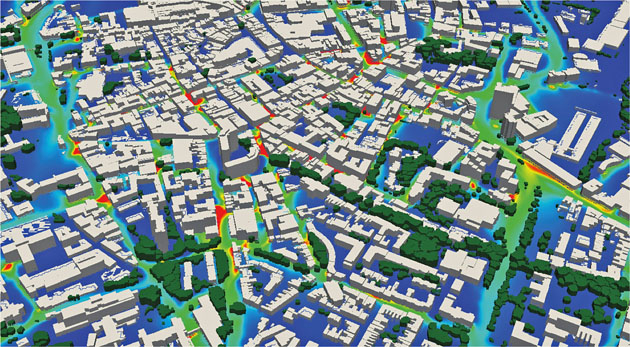
EarthSense Maps Show Homeowners Air Pollution Levels (from import)
EarthSense Maps Show Homeowners Air Pollution Levels

1st May 2018

EarthSense Maps Show Homeowners Air Pollution Levels
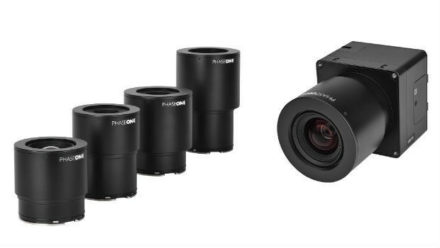
Phase One Industrial Innovates UAV-based Aerial Imagery (from import)

Phase One Industrial Innovates UAV-based Aerial Imagery

30th April 2018

Phase One Industrial Innovates UAV-based Aerial Imagery
QuestUAV showcasing on BBC One’s Countryfile (from import)

QuestUAV showcasing on BBC One’s Countryfile

27th April 2018

QuestUAV showcasing on BBC One’s Countryfile
Fugro Provides Seep Hunting Expertise Offshore Brazil (from import)

Fugro Provides Seep Hunting Expertise Offshore Brazil

27th April 2018

Fugro Provides Seep Hunting Expertise Offshore Brazil
EarthSense adds ultra-fine particulates to MappAir air pollution map (from import)
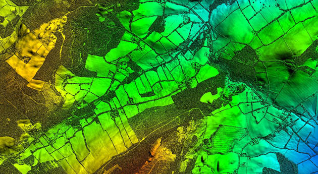
EarthSense adds ultra-fine particulates to MappAir air pollution map

26th April 2018

EarthSense adds ultra-fine particulates to MappAir air pollution map
Bluesky LiDAR Supports Major Irish Water Supply Project (from import)

Bluesky LiDAR Supports Major Irish Water Supply Project

26th April 2018

Bluesky LiDAR Supports Major Irish Water Supply Project
Wingtra launches a drone that sets a new benchmark in photogrammetry (from import)
Wingtra launches a drone that sets a new benchmark in photogrammetry

24th April 2018

Wingtra launches a drone that sets a new benchmark in photogrammetry
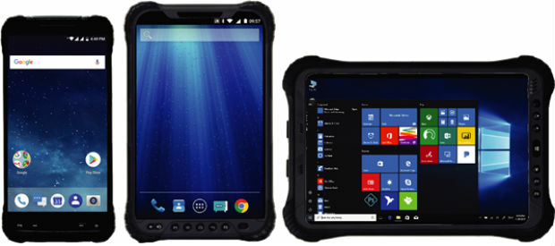
Hemisphere GNSS Announces Family of Rugged Handheld Devices (from import)

Hemisphere GNSS Announces Family of Rugged Handheld Devices

24th April 2018

Hemisphere GNSS Announces Family of Rugged Handheld Devices
Creaform and Metrologic Group announce Worldwide Partnership Agreement (from import)
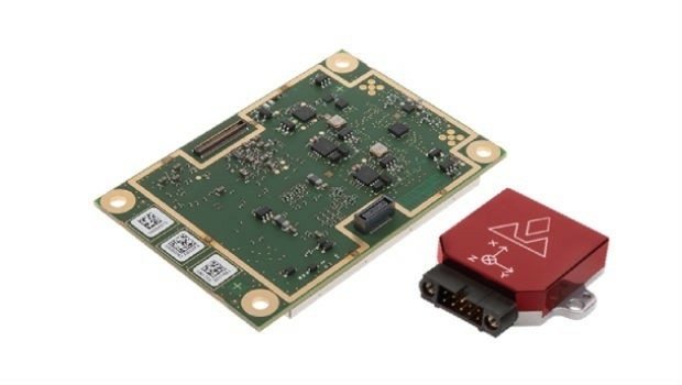
Creaform and Metrologic Group announce Worldwide Partnership Agreement

24th April 2018

Creaform and Metrologic Group announce Worldwide Partnership Agreement
Introducing the new AsteRx-i for IMU-enhanced GNSS positioning (from import)
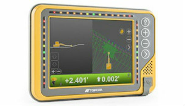
Introducing the new AsteRx-i for IMU-enhanced GNSS positioning

23rd April 2018

Introducing the new AsteRx-i for IMU-enhanced GNSS positioning
Topcon announces new modular 3D machine control excavation system (from import)

Topcon announces new modular 3D machine control excavation system

23rd April 2018

Topcon announces new modular 3D machine control excavation system

Hemisphere GNSS' Flexible & Scalable GradeMetrix™ Toolkit

23rd April 2018

Hemisphere GNSS' Flexible & Scalable GradeMetrix™ Toolkit
Fugro’s Ultra-Deepwater Surveys Support Seabed Mining Exploration (from import)

Fugro’s Ultra-Deepwater Surveys Support Seabed Mining Exploration

21st April 2018

Fugro’s Ultra-Deepwater Surveys Support Seabed Mining Exploration

The UAV sector is becoming more professional
20th April 2018

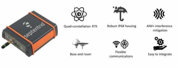
The UAV sector is becoming more professional
Septentrio launches the AsteRx SB GNSS receiver (from import)

Septentrio launches the AsteRx SB GNSS receiver

20th April 2018

Septentrio launches the AsteRx SB GNSS receiver
Discover the most powerful surveying software (from import)

Discover the most powerful surveying software

19th April 2018

Discover the most powerful surveying software
New Field Solutions for Land and Construction Surveying (from import)

New Field Solutions for Land and Construction Surveying

19th April 2018

New Field Solutions for Land and Construction Surveying
TCarta Delivers Satellite-Derived Land/Sea Floor Surface Models (from import)

TCarta Delivers Satellite-Derived Land/Sea Floor Surface Models

17th April 2018

TCarta Delivers Satellite-Derived Land/Sea Floor Surface Models
Mr. Tapio Kallonen appointed CEO, Specim Spectral Imaging Ltd. Oy (from import)

Mr. Tapio Kallonen appointed CEO, Specim Spectral Imaging Ltd. Oy

12th April 2018

Mr. Tapio Kallonen appointed CEO, Specim Spectral Imaging Ltd. Oy
SphereVision Project Provides Complete 360 Imaging Platform (from import)

SphereVision Project Provides Complete 360 Imaging Platform

11th April 2018

SphereVision Project Provides Complete 360 Imaging Platform
Efficient Data Collection for Crash and Crime Scene Investigators (from import)

Efficient Data Collection for Crash and Crime Scene Investigators

11th April 2018

Efficient Data Collection for Crash and Crime Scene Investigators

A new generation of high precision multispectral sensor

10th April 2018

A new generation of high precision multispectral sensor
First Purpose-built Rugged Tablet with Scientific-grade GNSS (from import)

First Purpose-built Rugged Tablet with Scientific-grade GNSS

10th April 2018

First Purpose-built Rugged Tablet with Scientific-grade GNSS

Specim wins coveted Red Dot design award

9th April 2018

Specim wins coveted Red Dot design award

International Scientific Expedition to Weddell Sea Announced
8th April 2018

International Scientific Expedition to Weddell Sea Announced
Topcon Commitment To Closing The Skills Gap With Survey School (from import)

Topcon Commitment To Closing The Skills Gap With Survey School

5th April 2018

Topcon Commitment To Closing The Skills Gap With Survey School
Fugro Returns To Hollandse Kust Wind Farm Zone (from import)

Fugro Returns To Hollandse Kust Wind Farm Zone

4th April 2018

Fugro Returns To Hollandse Kust Wind Farm Zone
KlauGeomatics partners with Skylink (from import)

KlauGeomatics partners with Skylink

3rd April 2018

KlauGeomatics partners with Skylink
senseFly and Trimble optimize workflow  for geospatial drone operators (from import)
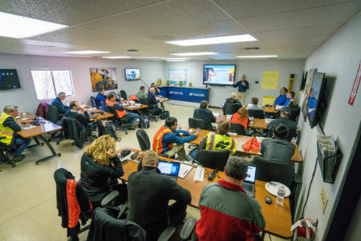
senseFly and Trimble optimize workflow for geospatial drone operators

3rd April 2018

senseFly and Trimble optimize workflow for geospatial drone operators
Topcon and Bentley to hold collaborative Constructioneering Academy (from import)

Topcon and Bentley to hold collaborative Constructioneering Academy

3rd April 2018

Topcon and Bentley to hold collaborative Constructioneering Academy
Hemisphere GNSS Appoints Jeffrey Farrar as Senior Sales Manager (from import)

Hemisphere GNSS Appoints Jeffrey Farrar as Senior Sales Manager

30th March 2018

Hemisphere GNSS Appoints Jeffrey Farrar as Senior Sales Manager
Topcon introduces new laser series designed for distance and accuracy (from import)
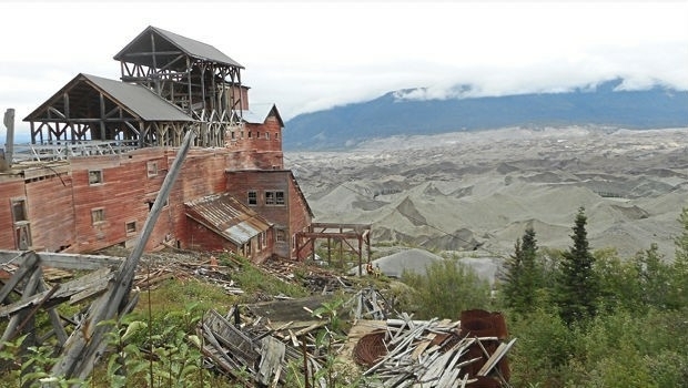
Topcon introduces new laser series designed for distance and accuracy

30th March 2018

Topcon introduces new laser series designed for distance and accuracy
New view of an Alaskan icon (from import)

New view of an Alaskan icon

29th March 2018

New view of an Alaskan icon
CSA and HWCG Deliver Rapid Monitoring Solution for O&G Operators (from import)

CSA and HWCG Deliver Rapid Monitoring Solution for O&G Operators

29th March 2018

CSA and HWCG Deliver Rapid Monitoring Solution for O&G Operators

Tracking technology leads to Police arrests and recovery

28th March 2018

Tracking technology leads to Police arrests and recovery
ALPHAGEO & APLITOP: Full solution for Surveying and Civil Engineering projects (from import)

ALPHAGEO & APLITOP: Full solution for Surveying and Civil Engineering projects

27th March 2018

ALPHAGEO & APLITOP: Full solution for Surveying and Civil Engineering projects
Topotrade first worldwide marketplace for Land Surveying Instruments (from import)

Topotrade first worldwide marketplace for Land Surveying Instruments

26th March 2018

Topotrade first worldwide marketplace for Land Surveying Instruments
How to Get High-Accuracy GNSS Using Your Phone (from import)

How to Get High-Accuracy GNSS Using Your Phone

20th March 2018

How to Get High-Accuracy GNSS Using Your Phone