
thinkWhere Maps Out Business Expansion with Mahon Fitzgerald
30th November 2017
thinkWhere Maps Out Business Expansion with Mahon Fitzgerald
30th November 2017
thinkWhere Maps Out Business Expansion with Mahon Fitzgerald30th November 2017
Esri Will Donate Software Licenses to URISA GISCorps Volunteers
21st November 2017
GeoSpock appoints technology entrepreneur Richard Baker as CEO
21st November 2017
Local authority transport specialists drive for better route planning21st November 2017
FREQUENTIS LifeX provides new solutions for “networked safety”17th November 2017
Global Mapper SDK Now Available on Amazon Web Services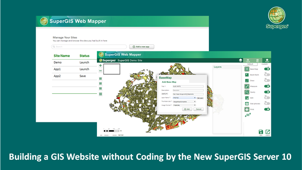
15th November 2017
Building a Unique GIS Website without Coding by Brand New SuperGIS Server 10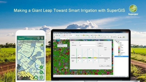
15th November 2017
Making a Giant Leap Toward Smart Irrigation with SuperGIS
15th November 2017
Supergeo Partners with Agricultural Engineering Research Center to Develop Irrigation Solution14th November 2017
Safe City Framework Unveiled at Smart City World Congress
14th November 2017
QRoutes Launches Special Needs Transport Planning Software14th November 2017
SSTL confirms sale of SST-US assets to General Atomics
13th November 2017
European Space Imaging celebrates 15 years of success8th November 2017
OGC invites you to its Testbed 13 Demonstration Event7th November 2017
European purchasing power climbs by a nominal 1.9 percent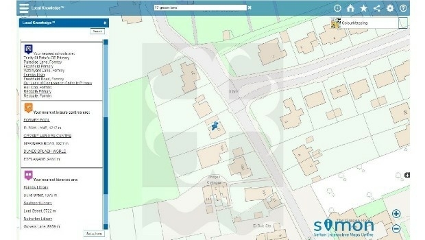
31st October 2017
Sefton Council uses GIS to support ‘One Council’ policy
30th October 2017
Helping Councils get the Most from Infrastructure Asset Management30th October 2017
Three new exciting webinars are now opened for registration
24th October 2017
Globalstar IoT Solution Protects Norway Reindeer from Train Collisions
24th October 2017
3D Repo Releases Version 2.0 of BIM Collaboration Software
23rd October 2017
Jack Dangermond to Discuss Earth Observations at GEO Week23rd October 2017
Call for Proposals to develop NSDI Metadata Handbook in Namibia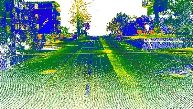
20th October 2017
Maintenance of the utility networks with Mobile Mapping technology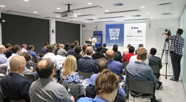
18th October 2017
Geospatial Themed BIM Event Debates GIS Data Integration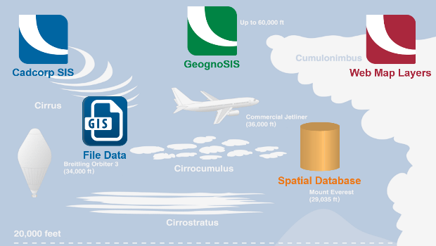
17th October 2017
Cloud migration path for Cadcorp web mapping13th October 2017
GSDI Webinar on Open Geospatial Data on 16 November 2017.jpg)
13th October 2017
Luciad Announces Winners of Geospatial Excellence Awards
12th October 2017
Maxoptra Helps Ash Logistics Streamline Furniture Deliveries
11th October 2017
UAV exhibition opens doors to businesses across Europe
10th October 2017
Topcon Leadership at Bentley Year in Infrastructure Conference
9th October 2017
Collaboration for Constructioneering Academy initiative6th October 2017
European Consortium Demonstrates new Internet-of-Things Platform

2nd October 2017
LAStools Win Big at INTERGEO Taking Home Two Innovation Awards30th September 2017
Pitney Bowes selects HERE data to aid insurers
28th September 2017
Astun Technology Supports Ordnance Survey
27th September 2017
JUICE radar antenna tested in helicopter flight campaign27th September 2017
Simplified Map Production from UAVs, from Trimble GNSS Base Station27th September 2017
Brainnwave Brings Unique Data Portal to Scotland Showcase