
LizardTech to Launch GeoExpress 10 with Expanded LiDAR Functionality
17th April 2018
LizardTech to Launch GeoExpress 10 with Expanded LiDAR Functionality17th April 2018
LizardTech to Launch GeoExpress 10 with Expanded LiDAR Functionality
17th April 2018
OGC announces the ESA’s upgrade to Strategic Member
17th April 2018
Intelligent optimisation approach for strategic scheduling control
13th April 2018
SuperGIS Web Mapper 2.0 Is Ready for Release!12th April 2018
National Insurance Crime Bureau to Present at the Business Summit
12th April 2018
Airbus has shipped SES-12 highly innovative satellite to launch base.11th April 2018
GeoDATA Ireland Showcase 2018 two weeks to go11th April 2018
GEO Business 2018 reveal brand new seminar and workshop programme10th April 2018
More than a Dozen Federal Agencies to Present at GEOINT 201810th April 2018
Explore What's in Store for You at the World’s Largest GIS Event_2017_21AT_Image_All_rights_reserved_-_Distribution_Airbus_DS.jpg)
10th April 2018
Airbus further strengthens its Earth observation imagery portfolio9th April 2018
Sharps Bedrooms Optimises Transport Routes and Schedules with Maxoptra5th April 2018
1Spatial awarded contract by the European Union Satellite Centre5th April 2018
GeoSpock Bolsters C-suite Team as Part of Scale-up Plan
28th March 2018
9th IGRSM International Conference and Exhibition27th March 2018
New Esri Textbook Teaches the Fundamentals of ArcGIS
27th March 2018
New 3D Repo version adds BCF support and GIS integration26th March 2018
GRSG Chairman is Coming Up Trumps for the Geological Society26th March 2018
thinkWhere Moves to Tech Scaleup Incubator CodeBase Stirling22nd March 2018
Join the International IoT Week 2018 in Bilbao!_GEO.jpg)
21st March 2018
Lincolnshire County Council Implements thinkWhere’s Cloud GIS8th March 2018
Plumbing World Maps Out Expansion with Maxoptra Routing
6th March 2018
Data for Use with Maptitude for entire USA2nd March 2018
OGC seeks public comment on Web Services Security Candidate Standard26th February 2018
Esri Acquires ClearTerra Location Data Extraction Technology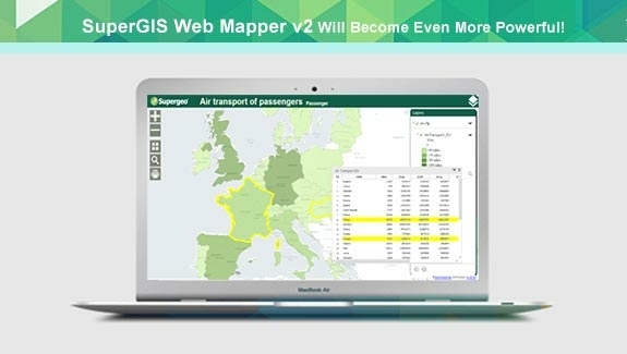
22nd February 2018
Zero-Coding Web GIS Designer - SuperGIS Web Mapper Update16th February 2018
OGC seeks public comment on Web Coverage Service (WCS)15th February 2018
Pitney Bowes Simplifies and Accelerates Data Accessibility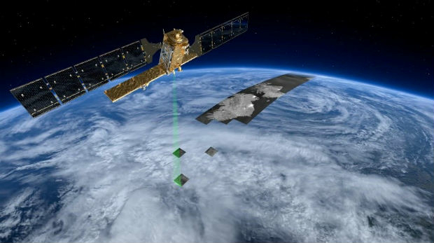
14th February 2018
Rezatec announces completion of £2m financing14th February 2018
Global Mapper v19.1 Now Available with New Features8th February 2018
GSSI Proudly Announce Launch of New Website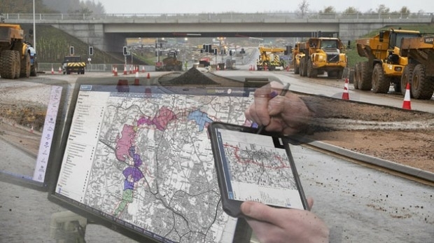
8th February 2018
thinkWhere Online Mapper Connects Aberdeen Bypass Project8th February 2018
OGC Requesting Responses to its Portrayal Concept Development Study4th February 2018
New SuperGIS 3D API for JavaScript - Coming Soon18th January 2018
IWCE 2018 Announces Keynote Presentations18th January 2018
CGG Supports E&P Digitalization with Smart Data Solutions
17th January 2018
thinkWhere Takes a Global View with theMapCloud Platform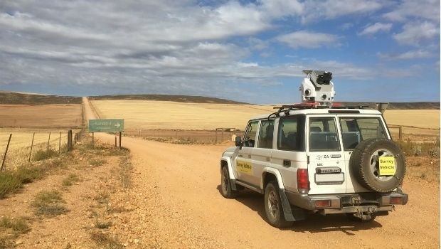
16th January 2018
Getmapping launches Mobile Mapping Survey Solutions to southern Africa
9th January 2018
Developing Data Ecosystems with the 1Spatial FME World Tour

21st December 2017
Healthcare to Smart Cities Showcased by Dassault Systèmes at CES 2018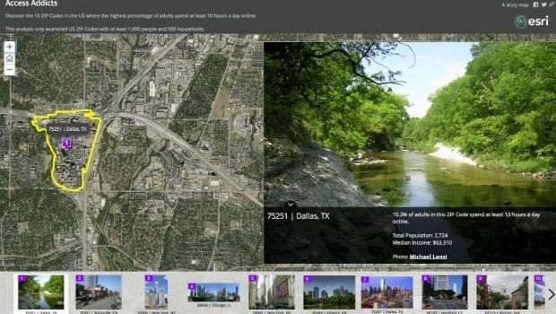
14th December 2017
Esri Maps Highlight Net Neutrality Implications14th December 2017
NGA, NATO and the UK MoD Headline DGI 2018 Speaker Lineup
1st December 2017
Fugro Wins Ørsted Contracts For Site Investigations1st December 2017
3D Viewshed Will Be Released in the Next SuperGIS Earth Server