The Science of Where Forward Recognized at Esri Awards
12th July 2017

The Science of Where Forward Recognized at Esri Awards
Remote Geo LineVision available in the Esri Marketplace (from import)

Remote Geo LineVision available in the Esri Marketplace

11th July 2017

Remote Geo LineVision available in the Esri Marketplace

UK MoD to present Ministerial Address at Global MilSatCom 2017

11th July 2017

UK MoD to present Ministerial Address at Global MilSatCom 2017
OS releases open dataset and free map of Britain’s Greenspaces (from import)
OS releases open dataset and free map of Britain’s Greenspaces

10th July 2017

OS releases open dataset and free map of Britain’s Greenspaces
Where every drop counts (from import)

Where every drop counts

6th July 2017

Where every drop counts
LafargeHolcim Cements Relationship with Maxoptra Route Planning (from import)

LafargeHolcim Cements Relationship with Maxoptra Route Planning

5th July 2017

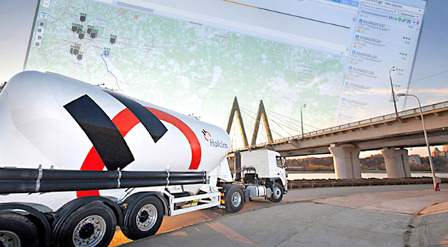
LafargeHolcim Cements Relationship with Maxoptra Route Planning

OGC announces Geoscience Australia as its newest Principal Member

5th July 2017

OGC announces Geoscience Australia as its newest Principal Member
Experience the future of mobility in the Mobility Lab (from import)

Experience the future of mobility in the Mobility Lab

23rd June 2017

Experience the future of mobility in the Mobility Lab
Cadcorp selected by Wealden District Council via G-Cloud for corporate GIS (from import)
Cadcorp selected by Wealden District Council via G-Cloud for corporate GIS

22nd June 2017

Cadcorp selected by Wealden District Council via G-Cloud for corporate GIS
Integrated approach accelerates understanding of petroleum systems (from import)
Integrated approach accelerates understanding of petroleum systems

14th June 2017

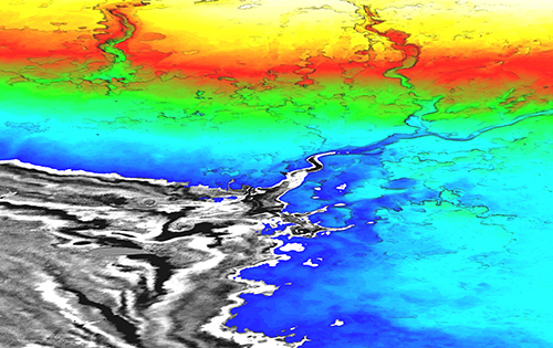
Integrated approach accelerates understanding of petroleum systems
Utility post processing software delivers CAD drawings in less time (from import)

Utility post processing software delivers CAD drawings in less time

14th June 2017

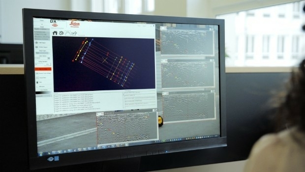
Utility post processing software delivers CAD drawings in less time

European retail: Central and Eastern Europe gain-ing ground

13th June 2017

European retail: Central and Eastern Europe gain-ing ground

Esri and Idaho National Laboratory Sign Cooperative R&D Agreement

7th June 2017

Esri and Idaho National Laboratory Sign Cooperative R&D Agreement

Esri and Leidos Modernize Intelligence Data Production

7th June 2017

Esri and Leidos Modernize Intelligence Data Production

Hexagon Safety & Infrastructure Listed on G-Cloud 9 Framework

7th June 2017

Hexagon Safety & Infrastructure Listed on G-Cloud 9 Framework

NGA Awards $500M Contract to Harris

6th June 2017

NGA Awards $500M Contract to Harris

Informed Solutions retain place on Government G-Cloud 9 framework

31st May 2017

Informed Solutions retain place on Government G-Cloud 9 framework

Logan, Utah, Recognized for Efficiency and Dedication

31st May 2017

Logan, Utah, Recognized for Efficiency and Dedication

Discover the Secret to Reshaping a City’s Skyline

31st May 2017

Discover the Secret to Reshaping a City’s Skyline

IRS data now available free of charge to scientific users
31st May 2017

IRS data now available free of charge to scientific users

Save the date: Esri UK OI roundtable

31st May 2017

Save the date: Esri UK OI roundtable
3D Repo Launch BIM Platform with Integrated VR at National Infrastructure Forum (from import)

3D Repo Launch BIM Platform with Integrated VR at National Infrastructure Forum

31st May 2017

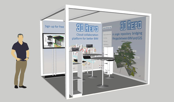
3D Repo Launch BIM Platform with Integrated VR at National Infrastructure Forum
3D Repo Joins UK Government’s G-Cloud Digital Marketplace (from import)

3D Repo Joins UK Government’s G-Cloud Digital Marketplace

30th May 2017

3D Repo Joins UK Government’s G-Cloud Digital Marketplace
The Geological Remote Sensing Group Makes 2017 Student Awards (from import)

The Geological Remote Sensing Group Makes 2017 Student Awards

26th May 2017

The Geological Remote Sensing Group Makes 2017 Student Awards

Open data – engine for innovation or simply hot air?

25th May 2017

Open data – engine for innovation or simply hot air?
GeoSLAM Expands Far East Operations With New Distributors (from import)

GeoSLAM Expands Far East Operations With New Distributors

18th May 2017

GeoSLAM Expands Far East Operations With New Distributors

Esri Brings The Science of Where to the 2017 Digital Enterprise Show

18th May 2017

Esri Brings The Science of Where to the 2017 Digital Enterprise Show

Esri Showcases Insights for ArcGIS at SAPPHIRE NOW
18th May 2017

Esri Showcases Insights for ArcGIS at SAPPHIRE NOW
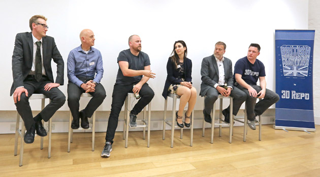
Third British Information Modelling Event Wins Praise from Delegates (from import)

Third British Information Modelling Event Wins Praise from Delegates

18th May 2017

Third British Information Modelling Event Wins Praise from Delegates
Icaros Releases Ver 5.0 of OneButton™ Drone Image Processing Software (from import)

Icaros Releases Ver 5.0 of OneButton™ Drone Image Processing Software

15th May 2017

Icaros Releases Ver 5.0 of OneButton™ Drone Image Processing Software

Responding to Emerging Environmental Threats
15th May 2017

Responding to Emerging Environmental Threats
1Spatial releases dates for exciting FME World Tour, courses, webinars (from import)

1Spatial releases dates for exciting FME World Tour, courses, webinars

15th May 2017

1Spatial releases dates for exciting FME World Tour, courses, webinars
Bluesky National Tree Map Helps Daventry Plan Ground Maintenance (from import)
Bluesky National Tree Map Helps Daventry Plan Ground Maintenance

15th May 2017

Bluesky National Tree Map Helps Daventry Plan Ground Maintenance
International award system WSA (from import)

International award system WSA

10th May 2017

International award system WSA
sensewhere Launches Visit Confirmation Platform for Mobile Attribution (from import)

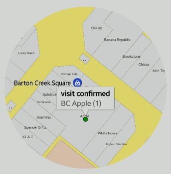
sensewhere Launches Visit Confirmation Platform for Mobile Attribution

9th May 2017

sensewhere Launches Visit Confirmation Platform for Mobile Attribution
Why revolution is in the air (from import)

Why revolution is in the air

3rd May 2017

Why revolution is in the air

Technology Disruption and How to Cope

25th April 2017

Technology Disruption and How to Cope

adsquare to enrich its advertisers platform with HERE location data

13th April 2017

adsquare to enrich its advertisers platform with HERE location data

1Spatial Technology Makes German Mapping Authorities 40% Faster

6th April 2017

1Spatial Technology Makes German Mapping Authorities 40% Faster
Esri Announces 2017 Storytelling with Maps Contest (from import)

Esri Announces 2017 Storytelling with Maps Contest

5th April 2017

Esri Announces 2017 Storytelling with Maps Contest

Avineon Announces Head Start Initiative for Esri Utility Network

5th April 2017

Avineon Announces Head Start Initiative for Esri Utility Network
Maxoptra Crops Mileage and Delivery Costs for Farm Supplier Zantra (from import)

Maxoptra Crops Mileage and Delivery Costs for Farm Supplier Zantra

4th April 2017

Maxoptra Crops Mileage and Delivery Costs for Farm Supplier Zantra

TCarta Marine to Introduce Gulf of Mexico Streaming Basemap Service

3rd April 2017

TCarta Marine to Introduce Gulf of Mexico Streaming Basemap Service
Don’t Miss the International IoT Week 2017 in Geneva (June 6-9 2017) (from import)

Don’t Miss the International IoT Week 2017 in Geneva (June 6-9 2017)

2nd April 2017

Don’t Miss the International IoT Week 2017 in Geneva (June 6-9 2017)

CGG GeoConsulting Awarded Multi-Year Integrated Geoscience Study

30th March 2017

CGG GeoConsulting Awarded Multi-Year Integrated Geoscience Study

Trimble Incorporates Galileo Support in New Version of GNSS Software

29th March 2017

Trimble Incorporates Galileo Support in New Version of GNSS Software
Towards a More Integrated Web GIS Solution- SuperGIS Server 10 (from import)

Towards a More Integrated Web GIS Solution- SuperGIS Server 10

28th March 2017

Towards a More Integrated Web GIS Solution- SuperGIS Server 10
Bluesky Launches New Online Resource for Geographic Information of Ireland (from import)

Bluesky Launches New Online Resource for Geographic Information of Ireland

27th March 2017

Bluesky Launches New Online Resource for Geographic Information of Ireland