Surveying Instrumentation
Don't miss a beat, sign up to our newsletter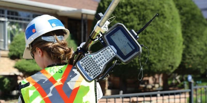
Spectra Geospatial Introduces Next Generation of Field Solutions for Survey Professionals
14th June 2021
Spectra Geospatial Introduces Next Generation of Field Solutions for Survey Professionals
Trimble and Amberg Technologies Collaborate on a Solution for Tunneling Surveyors and Construction Professionals in North and South America
22nd April 2021
Trimble and Amberg Technologies Collaborate on a Solution for Tunneling Surveyors and Construction Professionals in North and South America
Discover how the SP85 GNSS receiver is used in the field
15th April 2021
Discover how the SP85 GNSS receiver is used in the fieldUnderground Utility Mapping Workshop with Eos Locate™ for ArcGIS Field Maps
14th April 2021
Underground Utility Mapping Workshop with Eos Locate™ for ArcGIS Field Maps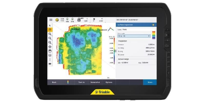
Trimble T100 Tablet Delivers High-Performance Computing in the Field
14th April 2021
Trimble T100 Tablet Delivers High-Performance Computing in the FieldLatest webinar from Gexcel - Digital Twinning for real estate assets management
18th March 2021
Latest webinar from Gexcel - Digital Twinning for real estate assets management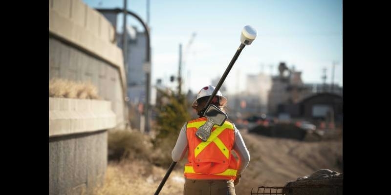
Trimble Announces Rugged, Lightweight Field Data Controller for Land and Construction Surveying
3rd March 2021
Trimble Announces Rugged, Lightweight Field Data Controller for Land and Construction SurveyingTrimble Launches Dimensions Spotlight Series for 2021
2nd March 2021
Trimble Launches Dimensions Spotlight Series for 2021Juniper Systems Limited Introduces New Mesa 3 Smart Card Reader for High-Security Industries
1st March 2021
Juniper Systems Limited Introduces New Mesa 3 Smart Card Reader for High-Security IndustriesNew Sokkia total stations designed as part of full, productive workflow solution
21st February 2021
New Sokkia total stations designed as part of full, productive workflow solutionNew Trimble SX12 Scanning Total Station Adds Features and Applications for Versatile Everyday Surveying and Scanning
17th February 2021
New Trimble SX12 Scanning Total Station Adds Features and Applications for Versatile Everyday Surveying and ScanningJuniper Systems Limited Announces Customisation Programme for Ultra-Rugged Handheld Computers
12th February 2021
Juniper Systems Limited Announces Customisation Programme for Ultra-Rugged Handheld Computers
The new generation of automated total stations - Meet the "five big ones"
9th February 2021
The new generation of automated total stations - Meet the "five big ones"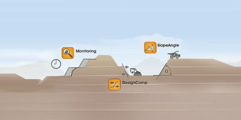
Latest Job from KOREC GROUP - Service Technician
1st February 2021
Latest Job from KOREC GROUP - Service Technician
Latest Job from KOREC GROUP - Senior Applications Engin
1st February 2021
Latest Job from KOREC GROUP - Senior Applications Engin
Latest Job: Geospatial Sales Consultant Midlands
1st February 2021
Latest Job: Geospatial Sales Consultant MidlandsSCCS and Senceive Announce Exciting Distribution Partnership
20th January 2021
SCCS and Senceive Announce Exciting Distribution Partnership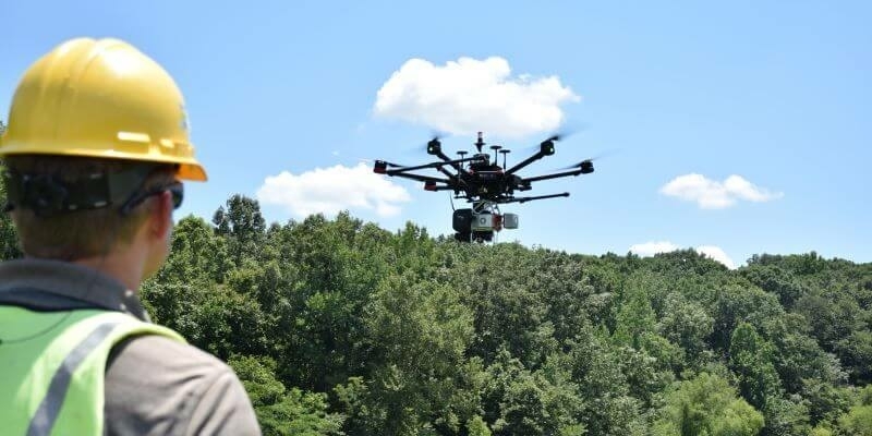
A Pragmatic Approach to Entering the Drone LIDAR Business
18th January 2021
A Pragmatic Approach to Entering the Drone LIDAR Business
Real estate management during the COVID pandemic - Webinar
18th January 2021
Real estate management during the COVID pandemic - WebinarFugro Selects RealWear Assisted Reality (AR) Headsets to Increase Operational Safety, Capacity and Efficiency
15th January 2021
Fugro Selects RealWear Assisted Reality (AR) Headsets to Increase Operational Safety, Capacity and EfficiencyTallysman Introduces the HC843 and HC843E Lightweight Dual-Band GNSS and Passive Iridium Helical Antenna
15th January 2021
Tallysman Introduces the HC843 and HC843E Lightweight Dual-Band GNSS and Passive Iridium Helical AntennaGeneq Releases SXtab RTK, a New Rugged Tablet for Field Professionals
5th January 2021
Geneq Releases SXtab RTK, a New Rugged Tablet for Field ProfessionalsStanford engineers combine light and sound to see underwater
10th December 2020
Stanford engineers combine light and sound to see underwaterAtmos UAV joins forces with Topcon Positioning Group
4th December 2020
Atmos UAV joins forces with Topcon Positioning Group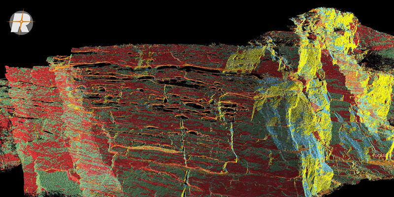
Surface Extraction and Analysis from RIEGL Laser Scan Data
2nd December 2020
Surface Extraction and Analysis from RIEGL Laser Scan DataGPR for Utility Locating Offers Safety, Efficiency, and Revenue Benefits
17th November 2020
GPR for Utility Locating Offers Safety, Efficiency, and Revenue Benefits


Leica Geosystems innovates automated total station portfolio
4th November 2020
Leica Geosystems innovates automated total station portfolio
RIEGL VUX-120 UAV LiDAR Sensor for Corridor Mapping
29th October 2020
RIEGL VUX-120 UAV LiDAR Sensor for Corridor MappingDJI Unveils First Integrated Lidar Drone Solution And A Powerful Full-Frame Camera Payload For Aerial Surveying
28th October 2020
DJI Unveils First Integrated Lidar Drone Solution And A Powerful Full-Frame Camera Payload For Aerial SurveyingJuniper Systems Limited Expands Team in EMEA, India
22nd October 2020
Juniper Systems Limited Expands Team in EMEA, India
Real-Time Data, Ultra-Rugged: Geode GNS2 GPS Receiver
20th October 2020
Real-Time Data, Ultra-Rugged: Geode GNS2 GPS ReceiverNew Topcon robotic total station system built for versatile survey and construction workflow performance
15th October 2020
New Topcon robotic total station system built for versatile survey and construction workflow performanceEos Positioning Systems announces compatibility of Eos Locate™ for ArcGIS with Subsite® Electronics Products
2nd October 2020
Eos Positioning Systems announces compatibility of Eos Locate™ for ArcGIS with Subsite® Electronics Products