
GC seeks public comment on GML in JPEG 2000 (GMLJP2) v2.1
28th February 2018
GC seeks public comment on GML in JPEG 2000 (GMLJP2) v2.128th February 2018
GC seeks public comment on GML in JPEG 2000 (GMLJP2) v2.116th February 2018
OGC seeks public comment on Web Coverage Service (WCS)
14th February 2018
OGC Announces Earth Observation Exploitation Platform Hackathon 20188th February 2018
OGC Requesting Responses to its Portrayal Concept Development Study11th January 2018
OGC Announces Disasters Interoperability Concept Development Study
9th January 2018
Developing Data Ecosystems with the 1Spatial FME World Tour
5th January 2018
Kara Utter Named URISA Young Professional of the Year14th December 2017
OGC is seeking sponsors for Phase 2 of its Future Cities Pilot Project11th December 2017
OGC Calls for Participation in Major Innovation Testbed (Testbed 14)6th December 2017
OGC seeks public comment on CDB Multi-spectral Imagery Extension30th November 2017
Data Model Development advances OGC’s Underground Pilot Project30th November 2017
OGC seeks public comment on CDB Multi-spectral Imagery Extension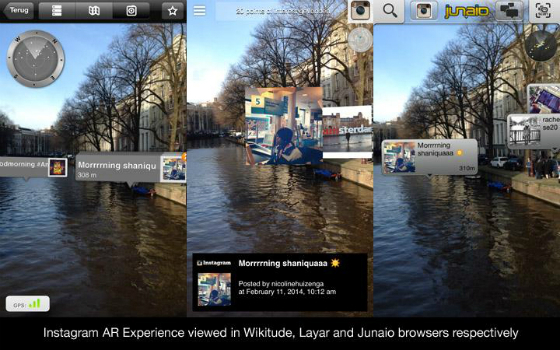
29th November 2017
OGC Calls for Sponsors for Augmented Reality Pilot Project
21st November 2017
OGC Calls for Participation in its Interoperability Plugfest8th November 2017
OGC invites you to its Testbed 13 Demonstration Event31st October 2017
OGC seeks public comment on TimeseriesML 1.2 Candidate Standard27th October 2017
OGC supports American Geographical Society’s 2017 Fall Symposium26th October 2017
New OGC standard improves the reference for Earth Information23rd October 2017
Call for Proposals to develop NSDI Metadata Handbook in Namibia
10th October 2017
Garmin® Head-up Display (GHD) system for integrated flight decks5th October 2017
OGC Announces New 3D Portrayal Service Standard28th September 2017
INTERGEO 2017 – “We are bringing worlds together”26th September 2017
ArcGIS Pro Users 'Finding the Best Place for a Public Park'25th September 2017
Bureau Veritas joins Global Industry Alliance (GIA)21st September 2017
2017 URISA Exemplary Systems in Government Award Recipients Announced
16th September 2017
Esri to Present at TechCrunch Disrupt SF 20178th September 2017
OGC approves Community Standard for streaming 3D Content4th September 2017
OGC seeks sponsors for its Underground Infrastructure Pilot Project
31st August 2017
2017 URISA Board Election Results Announced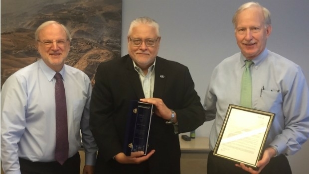
31st August 2017
OGC recognizes the IJIS Institute with Distinguished Member Award30th August 2017
Astun Technology Supports Most Successful FOSS4G Ever
22nd August 2017
1Spatial grows its team of Safe Software FME Certified Trainers7th August 2017
Participate in a Simulated Exercise at the Disaster Risk Reduction4th August 2017
AutoPIPE CONNECT Edition Now Includes ASME B31J at No Additional Cost
27th July 2017
MicaSense Atlas is now integrated with Pix4D desktop software27th July 2017
OGC announces Leidos’ upgrade to Principal Membership
25th July 2017
1Spatial Awarded Safe Software’s Top Partner Award 201620th July 2017
OGC publishes results of international Arctic Spatial Data Pilot
19th July 2017
Wirral Council migrates existing corporate GIS to Cadcorp28th June 2017
GSDI Small Grants Program 2017 proposals have been reviewed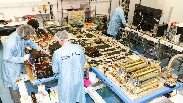
22nd June 2017
SSTL selected to build third batch of Galileo navigation payloads
12th June 2017
NextGen 9-1-1 and Emergency Preparedness Content at GIS-Pro 20176th June 2017
Dassault Systèmes has joined OGC as a Principal Member
26th May 2017
The Geological Remote Sensing Group Makes 2017 Student Awards25th May 2017
Open data – engine for innovation or simply hot air?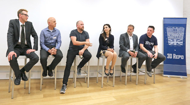
18th May 2017
Third British Information Modelling Event Wins Praise from Delegates
15th May 2017
1Spatial releases dates for exciting FME World Tour, courses, webinars