OGC Announces its 110th Technical and Planning Committee Meeting
21st December 2018
OGC Announces its 110th Technical and Planning Committee Meeting
21st December 2018
OGC Announces its 110th Technical and Planning Committee Meeting
19th December 2018
CDB Vector Data in GeoPackage Interoperability Experiment
19th December 2018
Submission Deadline for CalGIS 2019 Presentation Proposals Approaching
18th December 2018
OGC appoints Kumar Navulur and Frank Suykens to Board of Directors
18th December 2018
OGC and World Geospatial Industry Council sign Memorandum of Understanding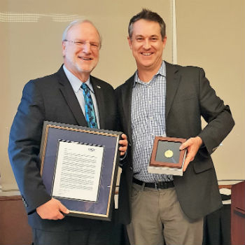
14th December 2018
Mark Reichardt receives special edition of OGC Gardels Award
5th December 2018
Use of online disaster-related geographic information
27th November 2018
Adoption of two jointly developed OGC/W3C standards
22nd November 2018
HERE Technologies has joined OGC as a Principal Member
16th November 2018
OGC announces a Request for Information on Marine Concept Development Study
14th November 2018
OGC seeks public comment on Hierarchical Data Format Version 5 (HDF5)
25th October 2018
thinkWhere’s theMapCloud Powers New Online Data Services
16th October 2018
OGC adopts new revision to GML in JPEG 2000 (GMLJP2)
4th October 2018
OGC requests comment on candidate standard: Geographic Information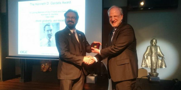
13th September 2018
Joan Masó receives OGC’s 2018 Gardels Award8th September 2018
In-house development with the Geodetic Development Kit GeoDLL
5th September 2018
OGC invites you to the Marine SDI (MDSI) Concept Development Study
23rd August 2018
OGC seeks public comment on GeoPackage Related Tables Extension
21st August 2018
OGC Seeks Public Comment on MetOcean profile and extensions to WCS 2.1
7th August 2018
Urban-themed Location Powers Event Agenda Finalized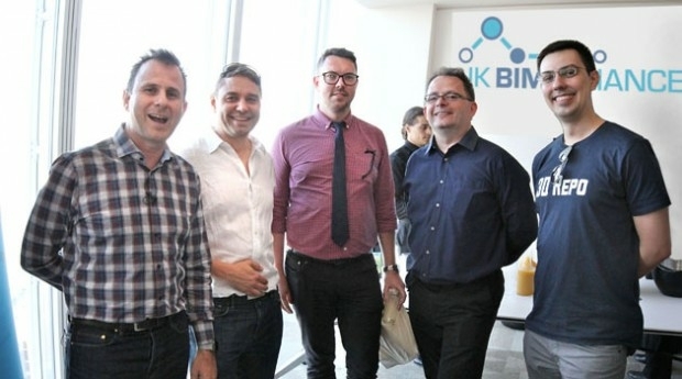
18th July 2018
3D Repo Drives Adoption of BIM with UK BIM Alliance
12th July 2018
OGC Calls for Participation in Vector Tiles Pilot
6th July 2018
OGC seeks public comment on proposed Statistical Domain Working Group
5th July 2018
OpenSearch for Earth Observation Suite of Standards2nd July 2018
OGC Seeks Public Comment on 3D Tiles Candidate Community Standard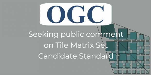
26th June 2018
OGC seeks public comment on Tile Matrix Set Candidate Standard
26th June 2018
thinkWhere In Pole Positions with of 8 Years of Quality Certification
14th June 2018
Mansfield District Council looks to Cadcorp web mapping to reduce GIS maintenance overheads
7th June 2018
OGC Invites you to the Disasters CDS Workshop at the NOAA Auditorium
31st May 2018
OGC announce creation of regional Canada Forum on Geospatial Standards
9th May 2018
Earth Observation Exploitation Platform Domain Working Group
7th May 2018
OGC seeks public comment on new Interoperable Simulation
4th May 2018
OGC announced as official partner of Earth Challenge 2020
2nd May 2018
OGC calls for Sponsors of a major Innovation Initiative, Testbed 15
30th April 2018
OGC Calls for Sponsors for Maritime Limits and Boundaries Pilot20th April 2018
OGC Seeks Public Comment on update to Abstract Specification Topic 2
18th April 2018
OGC invites you to the Disasters CDS Workshop at NASA Ames
17th April 2018
OGC announces the ESA’s upgrade to Strategic Member
30th March 2018
OGC seeks public comment on version 1.1 of CDB standard
27th March 2018
New 3D Repo version adds BCF support and GIS integration23rd March 2018
OGC announces Part 3 of the WaterML 2 suite of standards21st March 2018
Open Geospatial Standards track at ISPRS Technical Commission
8th March 2018
OGC publishes Testbed 13 Engineering Reports6th March 2018
OGC joins ApacheCon as Community Partner and Geospatial Track lead2nd March 2018
OGC seeks public comment on Web Services Security Candidate Standard1st March 2018
Disasters Interoperability Concept Development Study