
1Spatial announce the release of 1Data Gateway v2.1
27th July 2020
1Spatial announce the release of 1Data Gateway v2.1
27th July 2020
1Spatial announce the release of 1Data Gateway v2.115th July 2020
Garmin Unveils G500 Txi And G600 Txi Flight Display Enhancements
10th July 2020
Bentley Systems’ Acceleration Fund Announces the Launch of Virtuosity, a Bentley Company8th July 2020
Garmin Expands G1000 Nxi Integrated Flight Deck Upgrade Portfolio To Include The Embraer Phenom 3002nd July 2020
Pointfuse and Leica Geosystems announce a new software and global cooperation2nd July 2020
Automation driving safety and efficiency in essential streetworks for Northern Gas Networks2nd July 2020
Airbus innovative payload to launch on Faraday-1 satellite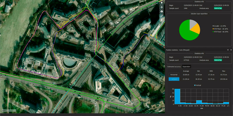
1st July 2020
Qinertia, SBG Systems’ PPK software now supports third-party IMUs
26th June 2020
Environment Agency Application Build and Managed Service Win22nd June 2020
AirMap Geo-awareness Technologies Power skyguide’s U-space Applications
19th June 2020
1Spatial reveals new and exciting webinars and training courses
15th June 2020
1Spatial releases FY20 Results; Revenue up 33% to £23.4M; EBITDA up 167% to £3.2M
12th June 2020
1Spatial plc secures US$2.6M Expansion Contract with the US State of Michigan12th June 2020
Garmin completes certification of the GFC 500 autopilot for nearly all single-engine Piper aircraft models
9th June 2020
TDC Joins Trimble’s GIS Business Partner Program to Empower Mobile GPS Workflows
20th May 2020
TatukGIS Developer Kernel 11 for ASP.NET Web Forms19th May 2020
Charlesbank Capital Partners Invests $70 Million in Elbit Systems’ Subsidiary, Cyberbit19th May 2020
Garmin Autoland achieves FAA certification for general aviation aircraft8th May 2020
New Version of Trimble Access Enables Broader Accessibility to Android OS for Surveyors23rd April 2020
Agri-robotics for a Sustainable Farming Future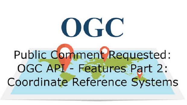
2nd March 2020
OGC announces candidate OGC API - Features - Part 2 standard
25th September 2019
Bluesky Appoints Jamieson to Drive Innovation in Aerial Mapping
18th May 2019
Maptitude 2019 Adds Enhanced MapPoint and Streets & Trips Features
17th May 2019
Orbit GT to exhibit and present at GeoBusiness, London, UK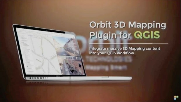
17th May 2019
Orbit GT launches 3D Mapping portfolio v19.5 and QGIS plugin update.
14th May 2019
IQGeo launches ‘reality-centric’ geospatial platform
7th May 2019
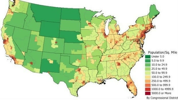
Caliper Offers 2019 Census Block Groups Data29th April 2019
Ordnance Survey and partners to create pilot map of the North East16th April 2019
Start-ups to receive funding, business support and more
10th April 2019
Bentley Systems Names Dr. Nabil Abou-Rahme as Chief Research Officer
5th April 2019
2010 Census Data and 2017 ACS Data for Use with Maptitude
20th March 2019
LuxCarta Announces Availability of Geodata7th March 2019
Esri Awards Schneider Electric for Exceptional Achievement
1st March 2019
Nominations for the Year in Infrastructure 2019 Awards Program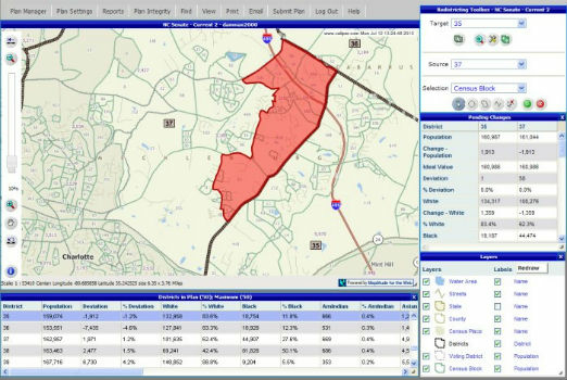
25th February 2019
Selected for Maryland's Online Redistricting Mapping Portal23rd October 2018
Schneider Electric Expands Electric, Gas And Water Features12th October 2018
Global Mapper Adds Online Access to NEXTMap One™4th October 2018
Esri Incorporates BuildingFootprintUSA Data for Deep Learning
1st October 2018
Free Highway Exits & Interchanges Data for Use with Maptitude 2018
1st October 2018
Free U.S. Traffic Count Data for Use with Maptitude30th August 2018
‘Ocean’ satellite Sentinel-6A beginning to take shape.28th August 2018
URISA's GISCorps Announces Community Maps
9th August 2018
Fugro’s New Ramms Technology Advances Bathymetric Lidar Mapping Capabilities5th July 2018
Geosoft add-in enhances integration with ArcGIS Pro