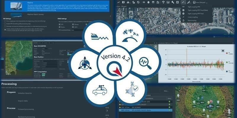
SBG Systems Releases Qinertia 4.2 – The Next Evolution in Post-Processing Software
3rd April 2025
SBG Systems Releases Qinertia 4.2 – The Next Evolution in Post-Processing Software
3rd April 2025
SBG Systems Releases Qinertia 4.2 – The Next Evolution in Post-Processing Software
31st March 2025
IQGeo enters exclusive negotiations to acquire AI software developer Deepomatic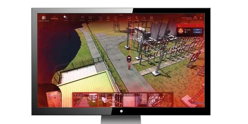
19th March 2025
Hexagon unveils new portfolio of physical security solutions
17th February 2025
FREQUENTIS LifeX Software goes Asia: FREQUENTIS advances Malaysia’s emergency response with NG999 project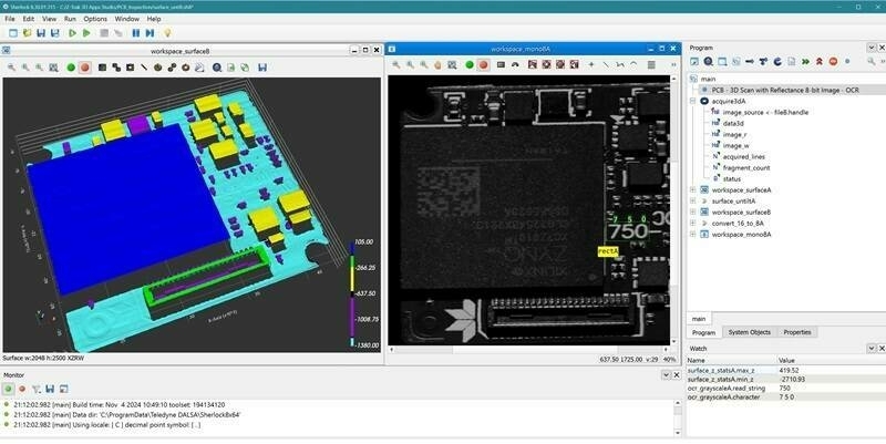
27th November 2024
Teledyne launches Z-Trak 3D Apps Studio software tools for in-line 3D measurement and inspection
13th November 2024
Trimble Announces 2024 Construction Innovation Award Winners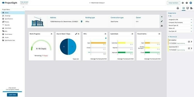
12th November 2024
Trimble Expands Access to Advanced Construction Project Management Capabilities with Free Version of ProjectSight Software
11th October 2024
Golden Software Improves Grapher Scientific Graphing Package for Greater Ease of Use, Faster Learning
9th October 2024
1Spatial supports AtkinsRéalis and Ordnance Survey to deliver the National Underground Asset Register
27th September 2024
Digitalisation, Efficiency, Innovation: AUTOMA 2024 Tackles Key Challenges in Oil & Gas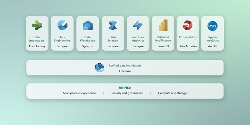
17th July 2024
Esri Partners with Microsoft to Provide Spatial Analytics in Microsoft Fabric
8th July 2024
Geospatial Business Management Software Firm Announces Ambitious Growth Plans
19th June 2024
Introducing HxGN APM from Hexagon: a revolutionary solution to optimise asset management strategies
13th June 2024
Viridien makes sale of Sercel Marlin vessel monitoring and alert system to ExxonMobil Guyana
3rd May 2024
Emlid and Pix4D launch a mobile terrestrial scanning kit to accelerate data capture
16th April 2024
SimActive Integrated with Multi-Camera Systems for Precision Photogrammetry
2nd February 2024
PCS looks to the future with IQGeo’s Network Manager Telecom
30th January 2024
1Spatial Announces new customer multi-year contract with European utility company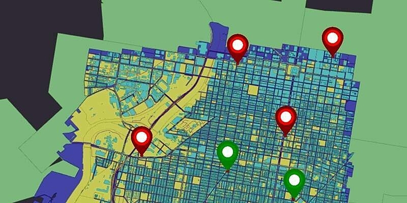
10th January 2024
1lntegrate 4.2 Leverages Inheritance for less taxing Rule Building
8th January 2024
Teledyne announces newest version of the Sapera Vision software including Rotated Object Detection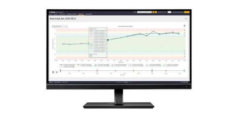
11th October 2023
Trimble Monitoring Software Expands Sensor Support to Deliver Broader Rail and Structural Deformation Analytics for Survey, Monitoring and Construction Professionals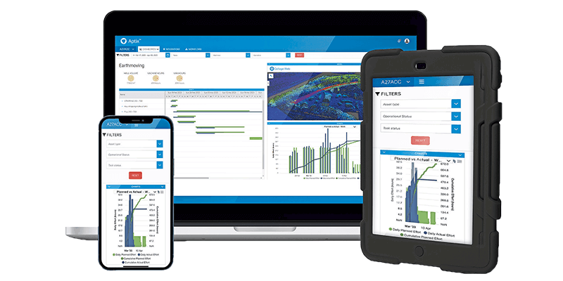
11th September 2023
Topcon introduces Aptix integration platform for heavy civil construction
25th May 2023
Esri Releases New Desktop Software to Easily Synthesize All Sources of Information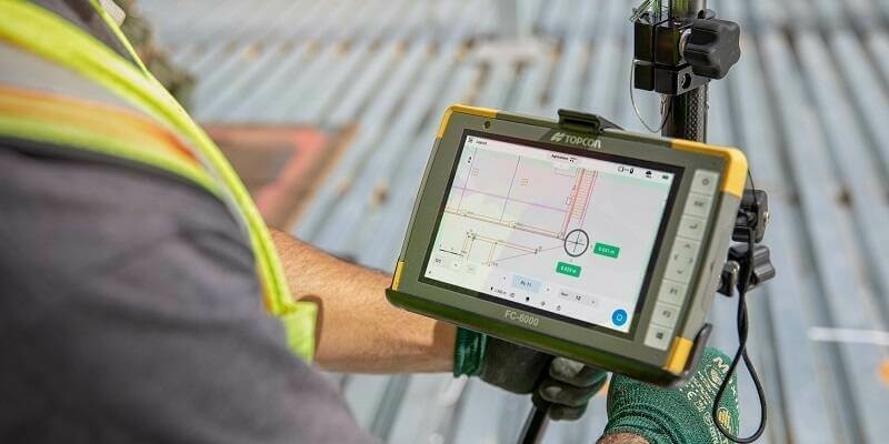
25th April 2023
Topcon Launches Easy-to-Use Digital Layout Software for Fast-Paced Building Construction Industry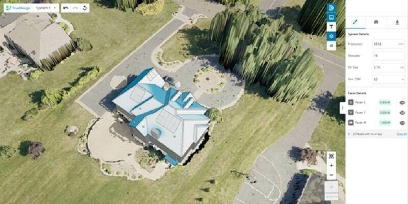
20th April 2023
EagleView Technologies Launches TrueDesign Version 2.0
14th April 2023
Teledyne announces advanced AI enhancements to its image processing software
2nd March 2023
Airservices Australia selects FREQUENTIS mission critical multimedia communication platform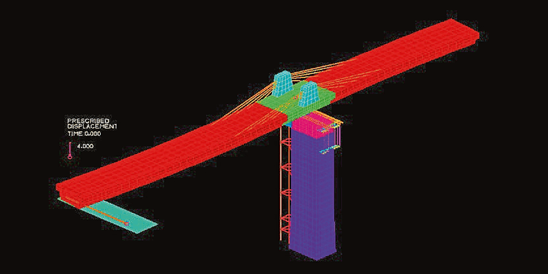
19th July 2022
Bentley Systems announces acquisition of ADINA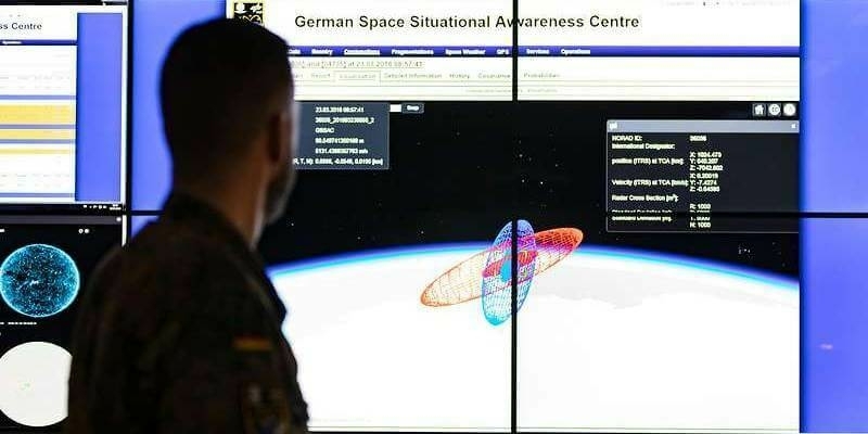
4th May 2022
GMV Provides Core Software for German Armed Forces’ SSA Center12th April 2022
TerraGo joins the Esri ArcGIS Marketplace with GeoPDF Publisher for ArcGIS Pro12th April 2022
1Spatial unveils new survey capabilities in 1Edit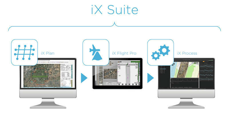
12th April 2022
Phase One announces iX suite for seamless aerial mapping workflow
17th February 2022
TerraGo Joins the Esri ArcGIS Marketplace with GeoPDF Publisher for ArcGIS Pro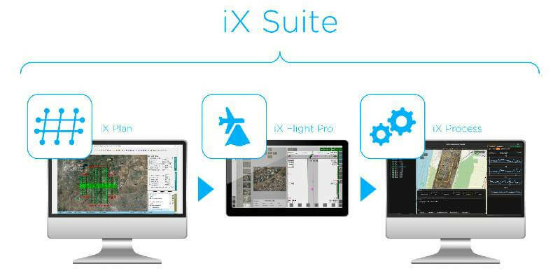
4th February 2022
Phase One Announces iX Suite for Seamless Aerial Mapping Workflow from Flight Planning to Image Delivery
25th January 2022
Join us for the 2022 FME World Tour in a city near you!
21st January 2022
1Spatial unveils new survey capabilities in 1Edit
19th November 2021
1Spatial adds support for GeoPackage and other data formats
18th November 2021
The Most Affordable, Reliable, Innovative Android Data Collection Software On The Planet Just Got Better!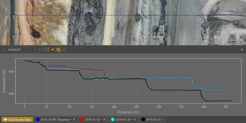
18th November 2021
Virtual Surveyor Provides Comprehensive Insights into Drone Survey Data with Addition of Profile View
19th August 2021
Creaform Announces the Release of VXelements 9.19th August 2021
Trimble Expands its Geospatial Automated Monitoring Portfolio
19th August 2021
Bentley Systems Announces Acquisition of SPIDA
19th August 2021
Delaware partners with VertiGIS to expand Geospatial Asset Management capabilities
19th August 2021
SPH Engineering announces the update of UgCS for UAV-based LIDAR mapping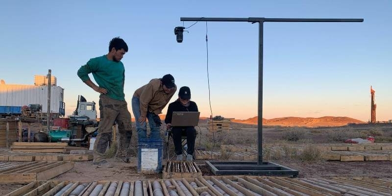
4th August 2021
Bentley Systems Announces Seequent’s Acquisition of Imago