
PTV Drive&Arrive Arrival Board receives the Logistics Innovation Award
30th March 2017
PTV Drive&Arrive Arrival Board receives the Logistics Innovation Award30th March 2017
PTV Drive&Arrive Arrival Board receives the Logistics Innovation Award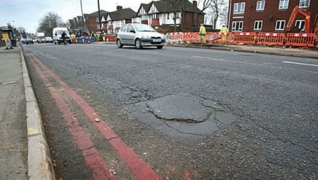
30th March 2017
Authorities will struggle to solve the pothole problem30th March 2017
CGG GeoConsulting Awarded Multi-Year Integrated Geoscience Study

30th March 2017
RoboBusiness Europe and TUS Expo, 19-21 April 2017.jpg)
29th March 2017
Garmin® introduces the G5 electronic flight instrument
29th March 2017
OGC requests public comment on proposed GeoRSS Community Standard.jpg)
29th March 2017
Surrey Police and Sussex Police harness mobile technology29th March 2017
Trimble Incorporates Galileo Support in New Version of GNSS Software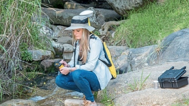

27th March 2017
PrecisionPoint Hires sUAS Pilot to Enhance 3D Reality Capture Services.jpg)
27th March 2017
Lovell Johns, wins new GIS contract with European Commission27th March 2017
Charter rate reduction of CGG’s operated fleet:
24th March 2017
OceanWise to host Marine Data Management & GIS Workshop in Edinburgh24th March 2017
Driver App to Improve Driver Behavior and Save Additional Costs
24th March 2017
5 Valuable Lessons Learned About Drones in Construction
24th March 2017
Next SuperSurv 10 Release Will Add Powerful Features23rd March 2017
TCarta Marine, DHI and DigitalGlobe to Unveil Bathymetric Data Portal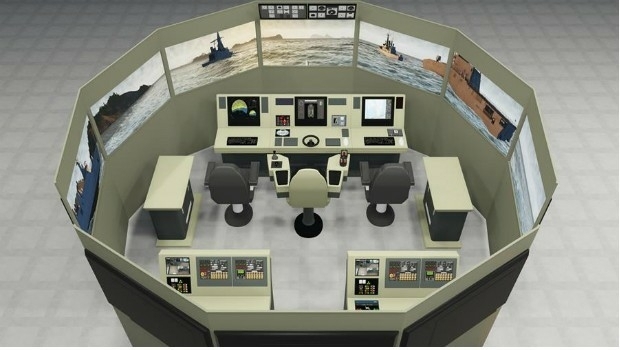
23rd March 2017
VSTEP and Damen sign cooperation agreement
23rd March 2017
Stand and Deliver! Could parcel drones trigger the Highwayman's return23rd March 2017
Public comment on proposed Indexed 3D Scene Layers (I3S) Community23rd March 2017
GSDI Marine/Coastal SDI Best Practice Webinar 29 March at 1400h CET
23rd March 2017
Ctrack Introduces Driver App To Improve Driver Behaviour23rd March 2017
Kaspersky Industrial CyberSecurity for Energy boosts protection
23rd March 2017
Advances in Digital Agriculture at Digital Earth & Locate17
22nd March 2017
Hexagon Mining selects downtown Tucson, AZ for headquarters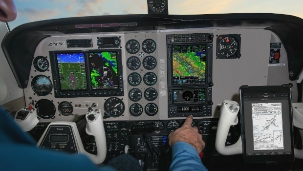
22nd March 2017
Garmin announces EASA certification for all-in-one ADS-B transponders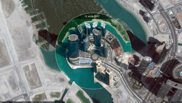
22nd March 2017
High-resolution satellite images made accessible to anyone
22nd March 2017
Avalanche Photodiode Arrays from LASER COMPONENTS
22nd March 2017
Four Instrument Partners to Accelerate Autonomous Vehicle Development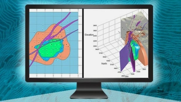
21st March 2017
Esri Teams with IBM to Offer Cutting-Edge Spatial Analytics
21st March 2017
5 GOOD REASONS to follow Pix4D on Social Media21st March 2017
The ‘control room of the future’ is here to help police keep you safe
21st March 2017
Terrabotics Joins the Geological Remote Sensing Group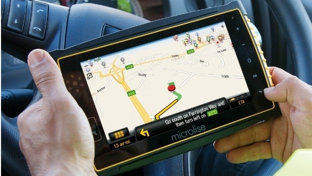
21st March 2017
Optimised Transport Plans with Paragon Waypoint Mapping21st March 2017
Pressure mounts on Australian Government to launch space agency21st March 2017
PAZ to extend Airbus radar satellite constellation21st March 2017
SimActive and Tianlifa Launch Integrated UAV Solution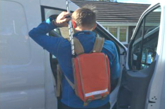
20th March 2017
Northumbrian Water's Transferred Drains and Sewers Project Boosted20th March 2017
4 Ways Maptitude 2017 Saves You Time & Money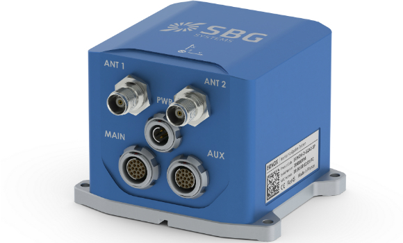
20th March 2017
New generation of the Ekinox Series inertial sensors from SBG Systems