
30 Years of Success Leads DAT/EM to Virtual Reality and UAS
11th May 2017
30 Years of Success Leads DAT/EM to Virtual Reality and UAS11th May 2017
30 Years of Success Leads DAT/EM to Virtual Reality and UAS
11th May 2017
TDI-Brooks International To Perform Site Surveys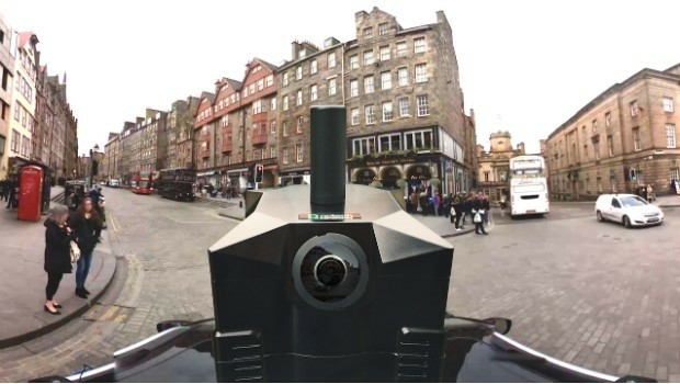
11th May 2017
NCTech partners with Google to pilot new 360-degree Street View camera
11th May 2017
PTV Group with Karlsruhe TechnologyRegion at UITP Summit in Montreal
11th May 2017
3G Vehicle Camera Footage Protects False Insurance Claims11th May 2017
Inmarsat and Actility deploy city-wide Internet of Things network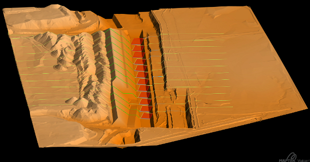
11th May 2017
Global software release from experienced solutions developer Maptek
10th May 2017
Leica Ready now offered on Liebherr dozers, excavators
10th May 2017
Garmin® Dash Cam™ 65W arrives with a 180-degree field of view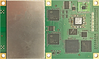
10th May 2017
Hemisphere GNSS Announces H328 OEM Positioning and Heading Board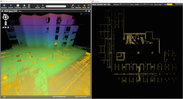
10th May 2017
Orbit GT and Gexcel, Italy, sign Reseller Agreement
10th May 2017
Imajing provides ESRI users with online 3D enabled images
10th May 2017
Duke of Edinburgh's Award Entrusts SPOT and Mapyx10th May 2017
Eni to utilize Earth Observation satellite data and services

10th May 2017
Blue Marble Releases Beta Version of Global Mapper Mobile for Android_vsm.jpg)
10th May 2017
Fugro Commences Mareano Survey For Norwegian Hydrographic Service9th May 2017
European satellite technology maps storms, pollution and marine safety9th May 2017
PCI Geomatics Now a Planet Ecosystem Partner
9th May 2017
2G Robotics and Sonardyne announce new collaboration
9th May 2017
Orbit GT updates 3D Mapping Cloud with faster Performance Measurements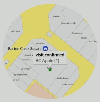
9th May 2017
sensewhere Launches Visit Confirmation Platform for Mobile Attribution9th May 2017
Wantman Completes Extensive UAV Project with SimActive
9th May 2017
BARTHAUER is consistently expanding its information offering

8th May 2017
Parrot develops its commercial drone offer with end-to-end solutions
8th May 2017
Google Streetview used to find Britain's “lost” 1930s-era cycleways8th May 2017
OGC invite to Environmental Linked Feature Interoperability Experiment
8th May 2017
Phase One Industrial Adds Support for DJI Drones8th May 2017
exactEarth Announce Two-Year $1.45 Million Commercial Customer Renewal8th May 2017
Scotland's top civil engineering experts to tackle water crises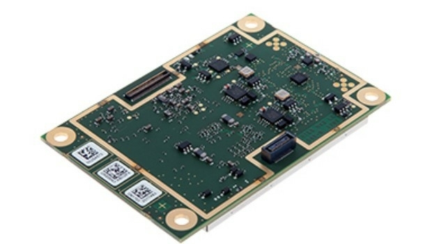
8th May 2017
Septentrio launches AsteRx-m2 OEM GNSS Receiver
8th May 2017
Elbit to Provide Satellite-On-the-Move Systems to the IMOD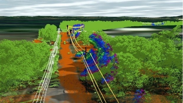
8th May 2017
Essential Energy use innovative technology to manage vegetation6th May 2017
Esri and UNOSAT Host GIS for a Sustainable World Conference

5th May 2017
PCI Geomatics to Present OBIA and InSAR Papers at ISRSE-37
5th May 2017
Handheld Business Partner Conference Agenda Announced
5th May 2017
Springfield, Illinois, Maximizes Efficiency with Cityworks ELA
4th May 2017
Save €225! Early-bird pricing ends tomorrow4th May 2017
Hydrographic Surveys To Improve Maritime Safety In Papua New Guinea