
GIS-Pro 2017 Conference Track Themes Emerge
7th June 2017
GIS-Pro 2017 Conference Track Themes Emerge
7th June 2017
GIS-Pro 2017 Conference Track Themes Emerge7th June 2017
Harris Announces Training Partnership with NGA at GEOINT 20177th June 2017
SkyX Systems Corp. Deploys First “xStation”
7th June 2017
Schindler Targets Road Safety And Driver Behaviour Improvements With Ctrack Vehicle Tracking Solutio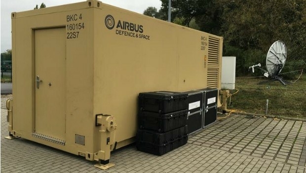
7th June 2017
Support communications at 15 sites worldwide provided to German troops7th June 2017
Hexagon Safety & Infrastructure Listed on G-Cloud 9 Framework
6th June 2017
Fugro Venturer To Commence Offshore Survey Campaign6th June 2017
Will Space Exploration lead us to a Global Space Agency?6th June 2017
Dassault Systèmes has joined OGC as a Principal Member
6th June 2017
Leica Geosystems’ new 3D imaging laser scanner now available6th June 2017
SimActive Optimizes Vineyard Performance with Drones.jpg)
6th June 2017
Elbit Awarded Contract to Develop Panoramic Cockpit Display Units
6th June 2017
Garmin receives STC for the G5 DG/HSI in certificated aircraft
6th June 2017
Proposals Invited for 2018 GIS/CAMA Technologies Conference5th June 2017
Department of Interior Awards Major Contract to Hexagon US Federal5th June 2017
viaEuropa with Ordnance Survey base maps now on Tableau3rd June 2017
Boost in Performance from the Galileo Constellation2nd June 2017
Photogrammetry Firm Visiontek searching for business partners globally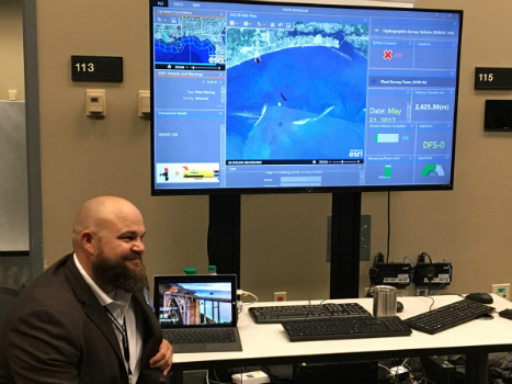
2nd June 2017
Faster and Safer Operations to Navy Missions2nd June 2017
ENERGIC OD: New Important Results In The Apps’ Development
2nd June 2017
Driving into the future at simulated The Oxford Science Park2nd June 2017
Bentley Systems to Present at BIM4Water Summer Reception in London UK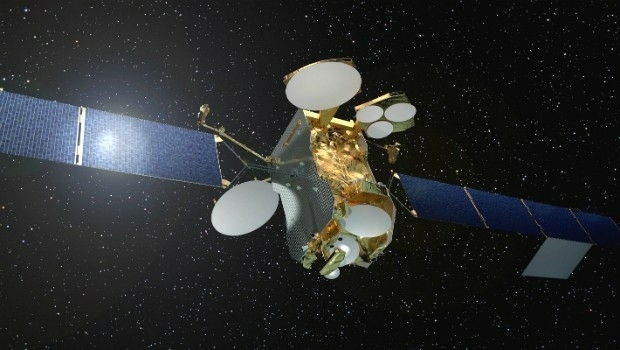
2nd June 2017
First high power all-electric satellite launched by Ariane 5
2nd June 2017
Paul Forster: Martek Marine hire Head of UAV Operations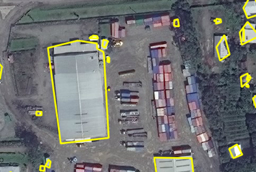
1st June 2017
Automated Feature Identification in Machine Learning Trials1st June 2017
exactEarth Broadens Small Vessel Tracking Offering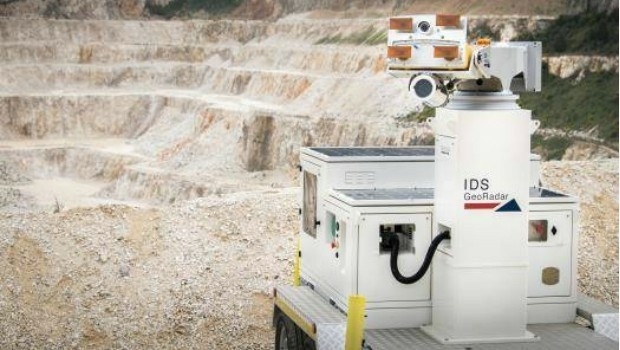
1st June 2017
IDS GeoRadar unveils next generation radar technology1st June 2017
COPTRZ Release First UK Drone Market Intelligence Report


1st June 2017
Pioneering mission-critical mobile services over LTE
1st June 2017
Smart Cities – What’s in store for our everyday lives, homes and work?1st June 2017
Esri Cited in Gartner Location Intelligence Software Forecast Snapshot31st May 2017
Mapmaker AND releases first High Definition Autonomous Vehicle Maps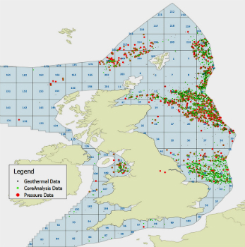
31st May 2017
UK Regulator, Oil & Gas Authority Awards Contract to CGG GeoConsulting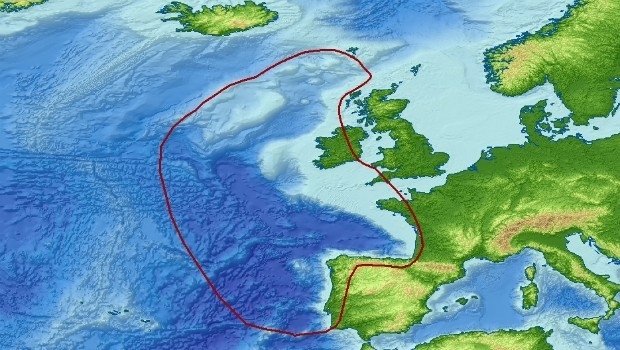
31st May 2017
Getech Brings Greater Insight to Both Sides of the North Atlantic31st May 2017
SpaceKnow with access to “One Atlas” for development of new analytics31st May 2017
Logan, Utah, Recognized for Efficiency and Dedication31st May 2017
Discover the Secret to Reshaping a City’s Skyline31st May 2017
IRS data now available free of charge to scientific users
31st May 2017
WorldView-4 satellite imagery in 30cm resolution
31st May 2017
Road Safety is as Important as Track Safety31st May 2017
exactEarth Launches Global Real-Time Vessel Tracking Service30th May 2017
Airbus Defence and Space launches “Global Earth Observation Challenge”