
Impressions from the SCADA Security Conference
1st November 2017
Impressions from the SCADA Security Conference
1st November 2017
Impressions from the SCADA Security Conference1st November 2017
2018 ISPRS Call for Educational and Capacity Building Initiative31st October 2017
OGC seeks public comment on TimeseriesML 1.2 Candidate Standard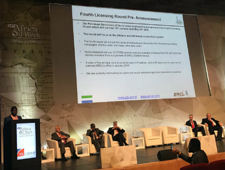
31st October 2017
Sierra Leone Makes Fourth Licensing Round Pre-Announcement31st October 2017
SimActive Automates Direct Georeferencing31st October 2017
Slovenia and HERE partner to improve highway safety
30th October 2017
BIM Alliance & buildingSMART UK&I Chapter Announce a Merger
30th October 2017
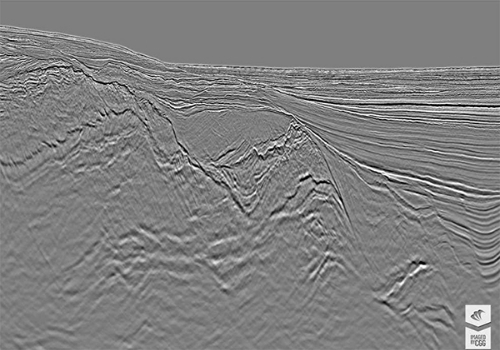
CGG Delivers Final PSDM Products for Cairenn Multi-Client Survey30th October 2017
Smart Cities Will Not Thrive Without National Policy Support
30th October 2017
Helping Councils get the Most from Infrastructure Asset Management30th October 2017
Three new exciting webinars are now opened for registration
28th October 2017
WorldView Global Alliance User Conference 2017 Report27th October 2017
OGC supports American Geographical Society’s 2017 Fall Symposium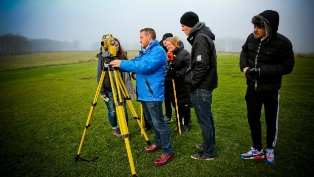
27th October 2017
Topcon helps DEC! develop maths skills that are fit for site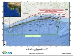
26th October 2017
CGG Awarded Contract for Licenses in Côte d’Ivoire.jpg)
26th October 2017
Fugro Applies Seeps Expertise To Canada’s Growing Offshore Industry26th October 2017
Commercial UAV Expo and Drone World Expo Come Together in 201826th October 2017
Smart City Capabilities at Smart City Expo World Congress 201726th October 2017
GfK releases updated maps for all of Europe26th October 2017
OS International partners with Tanzania and the World Bank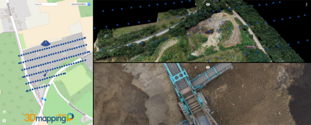
26th October 2017
Orbit GT updates 3D Mapping Cloud with great new UAV support26th October 2017
PCI Geomatics Signs MOU with AGH University, in Krakow, Poland26th October 2017
Tulloch Mapping Purchases the FIRST RIEGL VMX-2HA!
26th October 2017
Okeanus Upgrades Nortek Signature55 System26th October 2017
New OGC standard improves the reference for Earth Information25th October 2017
Saudi Ministry of Interior Supports Hajj and Umrah Safety with Hexagon Solution
25th October 2017
New Supply-Chain Accessories for the NAUTIZ X2
24th October 2017
VSTEP provide CAE with bridge simulators for UAE Naval Training Centre
24th October 2017
Globalstar IoT Solution Protects Norway Reindeer from Train Collisions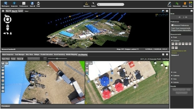
24th October 2017
Orbit GT launches new Feature Extraction product for Drones23rd October 2017
Septentrio launches the AsteRx-m2a and AsteRx-m2a UAS
23rd October 2017
Fugro Secures New Contract For Marine Site Investigation In Mexico
23rd October 2017
Jack Dangermond to Discuss Earth Observations at GEO Week23rd October 2017
Why the new T-Charge scheme won't help make London greener23rd October 2017
Orbital Witness wins Airbus’ Global Earth Observation Challenge23rd October 2017
Commercial UAV Expo Announces Highlights of Upcoming 2017 Event
23rd October 2017
UrtheCast and e-GEOS together offer unique optical and SAR products23rd October 2017
Call for Proposals to develop NSDI Metadata Handbook in Namibia23rd October 2017
A new generation of disruptive property and location data businesses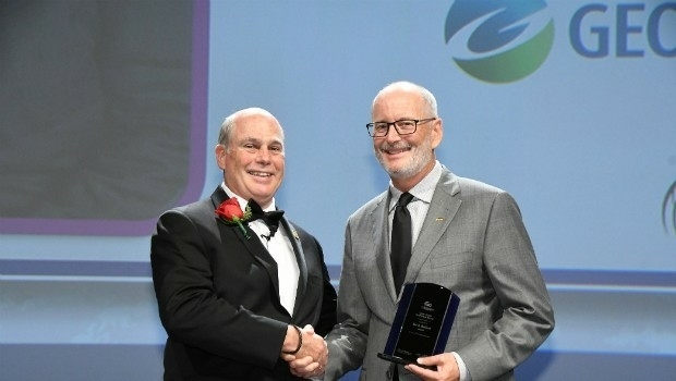
23rd October 2017
Ian MacLeod receives SEG Cecil Green Enterprise Award
21st October 2017
Virtual Surveyor Unveils Productivity Tools at Commercial UAV Expo21st October 2017
NFSP Fire & Rescue Services helped to improve their service21st October 2017
Hexagon Supports Zurich’s Public Transportation Network