
Esri and Mobileye to Bring Real-Time Sensor Data to Public Transit
14th November 2017
Esri and Mobileye to Bring Real-Time Sensor Data to Public Transit14th November 2017
Esri and Mobileye to Bring Real-Time Sensor Data to Public Transit
14th November 2017
Golden Software Releases Surfer® 2D and 3D14th November 2017
Avenza Releases MAPublisher 10 For Adobe Illustrator14th November 2017
Safe City Framework Unveiled at Smart City World Congress

14th November 2017
Hexagon Launches Framework for Safe Cities Today14th November 2017
CACI Boosts Location Planning Services with Mapmechanics Acquisition14th November 2017
Landmark's major relaunch of MAGIC interactive GB mapping service
14th November 2017
Elbit Systems to Showcase Advanced Training & Simulation Solutions14th November 2017
SSTL confirms sale of SST-US assets to General Atomics
13th November 2017
European Space Imaging celebrates 15 years of success
13th November 2017
MV Kobi Ruegg Joins Fugro’s Survey Vessel Fleet13th November 2017
Pitney Bowes Launches Global Collaboration Community
13th November 2017
JLT Mobile Computers Selected by Steketee for Smart Farming13th November 2017
Hemisphere GNSS Announces Major Enhancements to Its Atlas® GNSS13th November 2017
New Augmented Reality app to help local authorities13th November 2017
Inmarsat and Pessl Instruments to deliver IoT solutions
12th November 2017
Hemisphere GNSS Debuts A222 Scalable GNSS Smart Antenna12th November 2017
FIG Congress 2018, 6-11 May 2018 In Istanbul Turkey
10th November 2017
Airbus receives go-ahead for twin GRACE-FO satellites
10th November 2017
East View Geospatial Signs Reseller Contract with UrtheCast
10th November 2017
Tersus Announces Precis Board Firmware V1.15 Release
9th November 2017
Airbus signs in orbit demonstration contract with ESA9th November 2017
DroneSAR Win European Satellite Navigation Competition
9th November 2017
Warrington Borough Council Optimise Highways Asset Management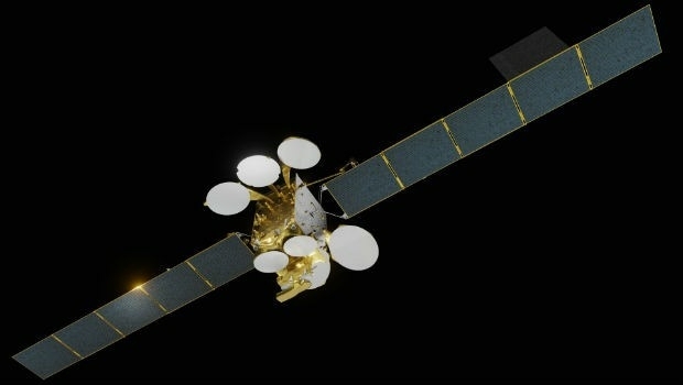
9th November 2017
Airbus to build Türksat 5A and 5B satellites9th November 2017
Royal Greenwich recognised as smart city innovator
8th November 2017
Garmin's availability of visual approach guidance for the GTN 650/7508th November 2017
OGC invites you to its Testbed 13 Demonstration Event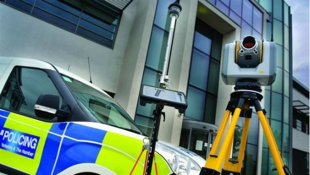
8th November 2017
West Yorkshire Police adopt Trimble SX10 technology
8th November 2017
Bureau Veritas class CMA CGM’s LNG fuelled ultra-large containerships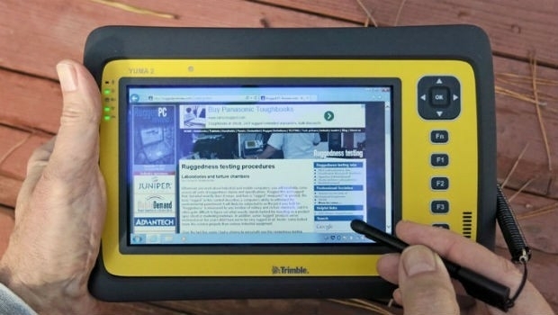
8th November 2017
Introducing new high-performance, large screen Trimble T10 tablet
7th November 2017
Popular URISA Program to be Offered Twice in 20187th November 2017
ADC WorldMap Releases Digital Atlas Version 7.4
3rd November 2017
Connected Vehicle Camera Footage Highlights Dangers of Rural Roads
3rd November 2017
Phase One Industrial partners with Drone Nerds3rd November 2017
Oxfordshire County Council looks to GIS to transform service delivery2nd November 2017
Pitney Bowes and Arrow Electronics sign Agreement
2nd November 2017
Globalstar’s SPOT Gen3 to Protect Forest Workers Across France2nd November 2017
Airbus-built EchoStar 105/SES-11 satellite now in geostationary orbit
2nd November 2017
Fugro Features Innovative Solutions at ADIPEC 20171st November 2017
Swift Enhances its Centimeter-Accurate GNSS Technology