SITECO announces full compatibility of Road-Scanner data with TopoDOT
15th September 2018
SITECO announces full compatibility of Road-Scanner data with TopoDOT15th September 2018
SITECO announces full compatibility of Road-Scanner data with TopoDOT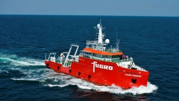
.jpg)

14th September 2018
Space4Culture Conference: Satellite Services
14th September 2018
INTERGEO NEWS | brand new INTERGEO report is online!
14th September 2018
DigitalGlobe Satellite Imagery of Russian Military Exercise
14th September 2018
DigitalGlobe Satellite Imagery of Russian Military Exercise13th September 2018
RIEGL to Attend and Exhibit at AREMA 2018!13th September 2018
Boundless introduces GIS solution for state & local governments
13th September 2018
Joan Masó receives OGC’s 2018 Gardels Award13th September 2018
Delair Receives Funding From Intel Capital
12th September 2018
East View Geospatial Partners with Space View12th September 2018
Airbus and Orbital Insight partner on The OneAtlas Platform

12th September 2018
Teledyne Optech’s Dr. Paul LaRocque to deliver address at ION GNSS+12th September 2018
URISA Announces 2018 GIS Hall of Fame Inductees11th September 2018
Pitney Bowes Now Offering Data for Purchase Online
11th September 2018
Introducing the upgraded MTi 1-series modules..jpg)
11th September 2018
GeoSmart Extends Groundwater Flood Forecast Service11th September 2018
CGG’s MotionMap UK Data Enhances Ground Risk of Terrafirma Search10th September 2018
HERE Technologies and Altair Semiconductor partner
10th September 2018
Greenvalley International Launches New Premium Mobile Mapping Systems
10th September 2018
ODS launches commercial drone services in Oxford8th September 2018
In-house development with the Geodetic Development Kit GeoDLL8th September 2018
Compusult Awarded NATO Core GIS Incr. 3 Contract
6th September 2018
senseFly launches the eBee X fixed-wing drone
6th September 2018
Lockheed Martin Preparing Ground System Support
6th September 2018
Fugro Secures E&P Support Contracts In Trinidad And Gulf Of Mexico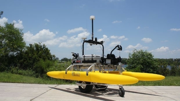
6th September 2018
SeaRobotics Delivers 3.6 Meter Collapsible ASV to USACE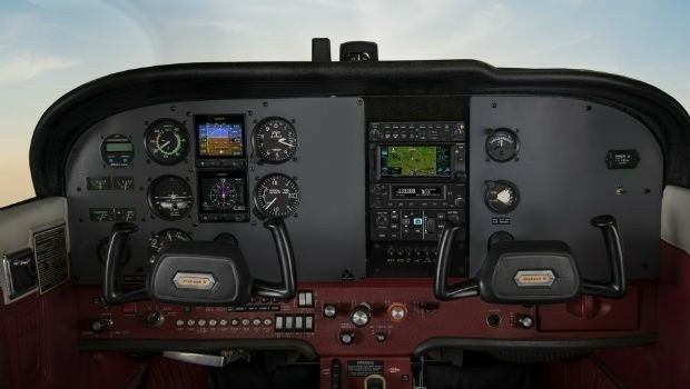
6th September 2018
Garmin receives approval for the GFC 500 autopilot
6th September 2018
Latest PDF3D PV+ Release Broadens Scientific Data Reporting
6th September 2018
Juniper Systems Limited Expands Into the Nordics, Welcomes Paul Collins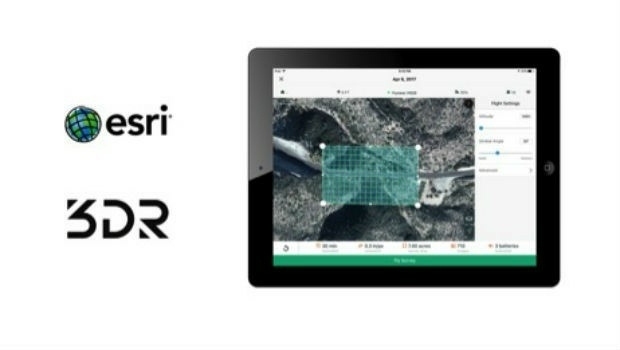
5th September 2018
3DR Announces Site Scan Esri® Edition for Esri Users
5th September 2018
OGC invites you to the Marine SDI (MDSI) Concept Development Study
5th September 2018
Sky and Space Global Signs MoU Agreements
4th September 2018
Acquisition of Outback Guidance Business from AgJunction, Inc.4th September 2018
Submit an abstract for a chance to speak at SPAR 3D Expo & Conference4th September 2018
Artificial Intelligence in Geoinformatics Domain Working Group
3rd September 2018
V.Ships and Martek Marine to fight sudden cardiac arrest at sea3rd September 2018
New digital service to minimise disruptive roadworks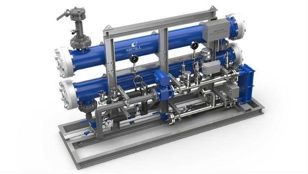
3rd September 2018
Wärtsilä Ballast Water Management System endorsed3rd September 2018
NOVACAVI’S CABLE SOLUTIONS CHOSEN FOR IN-SITU MONITORING DOWN TO 4000M
3rd September 2018
CGG Develops a Centre for Advanced Imaging for PETRONAS3rd September 2018
Garmin announces availability of TXi, GTN and GFC software upgrades