RIEGL to Attend and Exhibit at AEC BuildTech 2019!
24th April 2019
RIEGL to Attend and Exhibit at AEC BuildTech 2019!24th April 2019
RIEGL to Attend and Exhibit at AEC BuildTech 2019!23rd April 2019
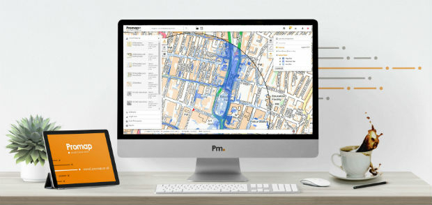
Four Ways Maptitude 2019 Saves You Time & Money23rd April 2019
Airbus appoints Jean-Marc Nasr Head of Space Systems23rd April 2019
INS Technology company wins prestigious award23rd April 2019
Micro Optical Power Meter - Compatible with Single-Mode and Multi-Mode Networks23rd April 2019
Science has not addressed how autonomous cars interact with humans
23rd April 2019
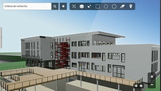
Innovation CARL Software presents its new solutions for operational BIM22nd April 2019
GeoCue Releases New and Improved Way to Access Public LIDAR and Image Data19th April 2019
Juniper Systems Limited Releases Two New Rugged Handheld Computers18th April 2019
PARIS: Satellite Images of Notre Dame Cathedral
18th April 2019
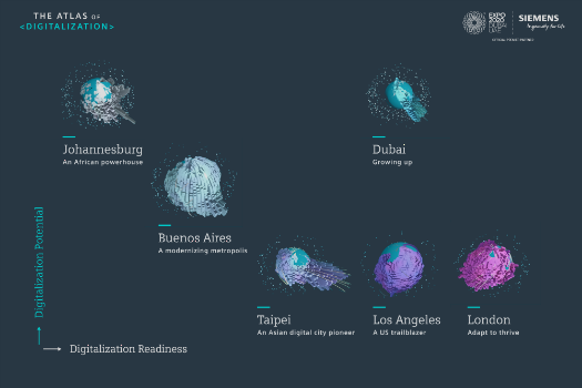
Johannesburg: Siemens launches Atlas of Digitalization18th April 2019
Satellite Imagery: Before/After of Notre Dame Cathedral Fire17th April 2019
CGG’s Dan Hampson and Brian Russell Honored17th April 2019
News from new autonomy and sensor distributor17th April 2019
Optical Filters for Machine Vision Applications17th April 2019
“New technology vital to the future protection of our forests”17th April 2019
WGIC and ITU Partner to Leverage Geospatial Knowledge17th April 2019
Blue Marble’s Global Mapper Mobile App Now Available17th April 2019
LEADING EDGE GEOMATICS LEVERAGES LiDAR TECHNOLOGY16th April 2019
Fugro supports targeted maintenance of Dutch roads16th April 2019
Space Flight Laboratory Reaches Century Milestone in Microspace Operations16th April 2019
Start-ups to receive funding, business support and more15th April 2019
Parrot launches ANAFI Thermal drone worldwide15th April 2019
Airbus and ZF to develop high precise end-to-end autonomous driving solution15th April 2019
CTRACK LAUNCHES ULTRA COMPACT TRACKING DEVICES15th April 2019
Outward Bound Chooses SPOT Gen3 Satellite Messengers15th April 2019
Nanotron and Decawave shorten time to revenue15th April 2019
Scientists chart history of vital Greenland Ice Sheet for first time13th April 2019
PCI Geomatics announces educational campaign in Brazil13th April 2019
Esri's Participation in Dubai's Future Cities Show 2019
12th April 2019
Bentley Systems Announces Drummond Community High School Team as Winners12th April 2019
UAVOS Developed New Auto-Tracking Antenna System f12th April 2019
SimActive Software Used with eBee X for Shoreline Mapping12th April 2019
Terra Drone acquires stake in Slovenia’s aerospace solutions provider C-Astral
11th April 2019
Future Cities Show concludes on a grand note
11th April 2019
OGC Requests Information on Earth Observation Big Data Architecture11th April 2019
PARAGON ENHANCES FLEXIPOD WITH TRACK MY DRIVER FUNCTIONALITY11th April 2019
Elbit Systems Awarded $30 Million Contract11th April 2019
CHC Navigation introduces the P2 GNSS Sensor Series11th April 2019
Terra Drone Indonesia teams with Japan’s leading power industry research