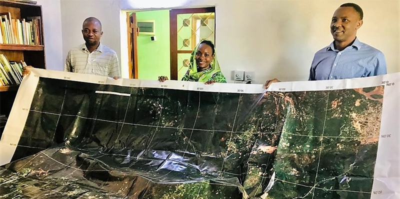
Satellogic announces multiple launch agreement with SpaceX
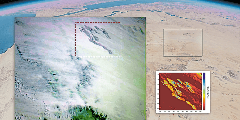
19th July 2022

Satellogic announces multiple launch agreement with SpaceX
Int V21i02 06 15 News Fighting climate change with the worlds

Fighting climate change with the world's most extensive hyperspectral satellite constellation

19th July 2022

Fighting climate change with the world's most extensive hyperspectral satellite constellation

Int V21i02 06 15 News UK Space Command Contracts with SSTL

UK Space Command contract with SSTL for Carbonite+ satellite
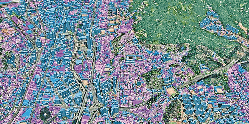
19th July 2022

UK Space Command contract with SSTL for Carbonite+ satellite
Int V21i02 06 15 News Ecopia AI and Airbus Expand Partnership

Ecopia AI and Airbus partnership to enable global 3D vector mapping

19th July 2022

Ecopia AI and Airbus partnership to enable global 3D vector mapping
Int V21i02 06 15 News Kleos successfully launches Patrol Mission satellites

Kleos successfully launches Patrol Mission satellites

19th July 2022

Kleos successfully launches Patrol Mission satellites

Edgybees satellite software brings unprecedented accuracy to satellite imagery

19th July 2022

Edgybees satellite software brings unprecedented accuracy to satellite imagery
Int v21 i02 Space Technology Enables Trust In Carbon Credit Markets

Space technology enables trust in carbon credit markets
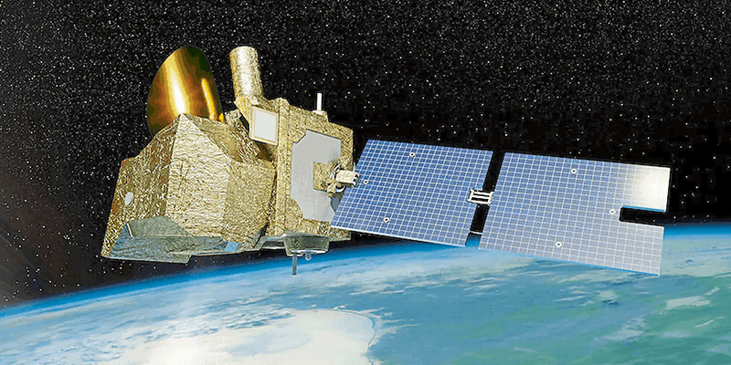
19th July 2022

Space technology enables trust in carbon credit markets
Int v21 i02 Combating Climate Change From Space

Combating climate change from space

19th July 2022

Combating climate change from space
Int v21 i02 38 39 CGG

Maximising land use and minimising its impact

19th July 2022

Maximising land use and minimising its impact
History of Sats 800x400 1

BlackSky Wins $4.4 Million IARPA Contract to Provide Advanced Artificial Intelligence for Space-Based Dynamic Monitoring

19th July 2022

BlackSky Wins $4.4 Million IARPA Contract to Provide Advanced Artificial Intelligence for Space-Based Dynamic Monitoring
Skynet 6a 1

SKYNET 6A satellite passes Critical Design Review

14th July 2022

SKYNET 6A satellite passes Critical Design Review
Blacksky esri 800x400 1

BlackSky and Esri Partner to Offer First On-Demand Dynamic Satellite Tasking to Global ArcGIS Online Customer Base

14th July 2022

BlackSky and Esri Partner to Offer First On-Demand Dynamic Satellite Tasking to Global ArcGIS Online Customer Base
Miles Ashcroft and Professor Martin Barstow source Kleos 800x400 1

Kleos Space Invests for Future Growth in the UK

8th July 2022

Kleos Space Invests for Future Growth in the UK
Airbus 42 800x400 1

Airbus to provide 42 satellite platforms and services to Northrop Grumman for the US Space Development Agency program

6th July 2022

Airbus to provide 42 satellite platforms and services to Northrop Grumman for the US Space Development Agency program
962a4cc573554a2d 800x400 1

Satellite data for reduced emission footprint – Boliden partners with Swedish Space Corporation

1st July 2022

Satellite data for reduced emission footprint – Boliden partners with Swedish Space Corporation
MP42 satellite 550km above the Great Barrier Reef 800x400

NanoAvionics records first ever 4K resolution full satellite selfie in space

29th June 2022

NanoAvionics records first ever 4K resolution full satellite selfie in space
Airbus awarded forum 800x400

Airbus awarded FORUM Earth monitoring satellite contract from ESA

29th June 2022

Airbus awarded FORUM Earth monitoring satellite contract from ESA
BKSY Satellite 800x400 1

Telespazio and BlackSky strengthen global partnership

27th June 2022

Telespazio and BlackSky strengthen global partnership
Telespazio 800x400

Telespazio signs a contract with ESA for I*STAR, an innovative service to improve access to Earth observation data

21st June 2022

Telespazio signs a contract with ESA for I*STAR, an innovative service to improve access to Earth observation data
Previous SPRINT workshop at founding member the University of Southampton 800x400 1

Space Industry Representatives to Gather in Northern Ireland Later This Month

14th June 2022

Space Industry Representatives to Gather in Northern Ireland Later This Month
Airbus earth observation 1

Airbus-built Earth observation satellite (SARah-1) ready for launch

14th June 2022

Airbus-built Earth observation satellite (SARah-1) ready for launch
World DEM Satellite Image Oslo Norway 800x400 1

OneAtlas now allows tasking of Airbus’ radar satellites, access to archive radar and WorldDEM data

8th June 2022

OneAtlas now allows tasking of Airbus’ radar satellites, access to archive radar and WorldDEM data
GHG Sats C3 4 5 800x400 1

Six Microsatellites Built by Space Flight Laboratory (SFL) of Toronto Launched Aboard SpaceX Transporter-5 Mission

2nd June 2022

Six Microsatellites Built by Space Flight Laboratory (SFL) of Toronto Launched Aboard SpaceX Transporter-5 Mission
MSG2 n RGB 20220530 0913 800x400 1

EUMETSAT’s Meteosat-9 satellite keeps a watchful eye on Indian Ocean weather

2nd June 2022

EUMETSAT’s Meteosat-9 satellite keeps a watchful eye on Indian Ocean weather
Cluster 4 Orbit 800x400 1

Hawkeye 360 Launches Next-Generation Cluster 5 Satellites

30th May 2022

Hawkeye 360 Launches Next-Generation Cluster 5 Satellites
Sunrise ESA OW Astroscale UKSA contract 800x400 1

OneWeb, Astroscale, and the UK and European Space Agencies partner to launch space junk servicer ELSA-M with €14.8 million investment

30th May 2022

OneWeb, Astroscale, and the UK and European Space Agencies partner to launch space junk servicer ELSA-M with €14.8 million investment
Artists visualisation of GAMA solar sail GAMA 800x400 1

NanoAvionics and Gama to set sails in space

25th May 2022

NanoAvionics and Gama to set sails in space
Nato HQ2 kl 800x400 1

Datacubes for Environment and Security

24th May 2022

Datacubes for Environment and Security
Unnamed 8 1 1

Final Pléiades Neo satellites ready to join rest of family

20th May 2022

Final Pléiades Neo satellites ready to join rest of family
For Public MP42 Assembly 800x400 1

Kongsberg Defence & Aerospace orders three surveillance satellites from NanoAvionics

20th May 2022

Kongsberg Defence & Aerospace orders three surveillance satellites from NanoAvionics
Platform 800x400 1

Satellite data help to detect artisanal mining - GAF AG develops the “ASM Alert” web platform

18th May 2022

Satellite data help to detect artisanal mining - GAF AG develops the “ASM Alert” web platform
Thumbnail

Identifying global poverty from space

13th May 2022

Identifying global poverty from space
Satellogic Dhaka Bangladesh 800x400 1

Satellogic and UP42 Team Up to Offer Rapid Monitoring Capabilities

12th May 2022

Satellogic and UP42 Team Up to Offer Rapid Monitoring Capabilities
Azur X Expo2020 800x400 1

Plans Unveiled To Better Connect Space Industries In Scotland And The UAE

10th May 2022

Plans Unveiled To Better Connect Space Industries In Scotland And The UAE
Ecopia 800x400 1

Ecopia AI and Airbus Expand Partnership to Enable Global 3D Vector Mapping

9th May 2022

Ecopia AI and Airbus Expand Partnership to Enable Global 3D Vector Mapping
GHG Sat C345 800x400 1

Space Flight Laboratory (SFL) and GHGSat Announce Successful Testing of Three New Greenhouse Gas Monitoring Satellites

6th May 2022

Space Flight Laboratory (SFL) and GHGSat Announce Successful Testing of Three New Greenhouse Gas Monitoring Satellites
Headquarters with satellites 800x400 1

Cabinet of Hesse makes historic visit to EUMETSAT during a milestone year

2nd May 2022

Cabinet of Hesse makes historic visit to EUMETSAT during a milestone year
Kleos KSF1 mission artwork 800x400 1

Kleos announces new Mission-as-a-Service offering

26th April 2022

Kleos announces new Mission-as-a-Service offering
Cabinet Office PR 800x400 1

Synspective enters into contract for "demonstration project for expanding the use of small SAR satellite constellations" led by the Cabinet Office

25th April 2022

Synspective enters into contract for "demonstration project for expanding the use of small SAR satellite constellations" led by the Cabinet Office
PAR GEOINT Graphic 800x400 1

PAR Government Teams Up with BlackSky to Deliver Commercial Near Real-Time Imagery to the Tactical Edge

21st April 2022

PAR Government Teams Up with BlackSky to Deliver Commercial Near Real-Time Imagery to the Tactical Edge
Rendered ai 1

RIT Digital Imaging and Remote Sensing Lab teams with Rendered.ai to power synthetic data with high accuracy sensor simulation

21st April 2022

RIT Digital Imaging and Remote Sensing Lab teams with Rendered.ai to power synthetic data with high accuracy sensor simulation
I Stock Nico El Nino Inok 1

UK space specialists hit new heights with ten contract wins

19th April 2022

UK space specialists hit new heights with ten contract wins
T Carta GEOINT Image 800x400 1

TCarta to Showcase Satellite-Derived Bathymetric Products on Absolute Ocean Platform at GEOINT 2022

13th April 2022

TCarta to Showcase Satellite-Derived Bathymetric Products on Absolute Ocean Platform at GEOINT 2022
V21i01 Spr22 London

Space data helps tackle climate change

12th April 2022

Space data helps tackle climate change
V21i01 Spr22 l3harris amd

L3Harris completes imager integration for NOAA’s advanced environmental satellite

12th April 2022

L3Harris completes imager integration for NOAA’s advanced environmental satellite
V21i01 Spr22 airbus imagery services amd

Airbus to provide imagery services that enable IntelinAir’s crop analytics platform

12th April 2022

Airbus to provide imagery services that enable IntelinAir’s crop analytics platform
V21i01 Spr22 european space imaging amd

European Space Imaging renews contract with Maxar Technologies

12th April 2022

European Space Imaging renews contract with Maxar Technologies
V21i01 Spr22 LAND INFO Cincinnati 10m 5 G Geodata Clutter amd

LAND INFO announces updated 10m USA countrywide land use land cover mapping dataset

12th April 2022

LAND INFO announces updated 10m USA countrywide land use land cover mapping dataset