
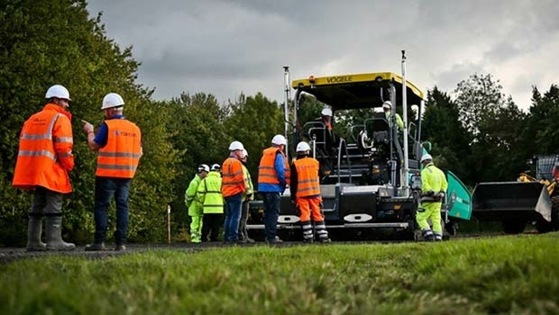
Ben Nevis gains a metre thanks to GPS height measurement
23rd March 2016
Ben Nevis gains a metre thanks to GPS height measurement
23rd March 2016
Ben Nevis gains a metre thanks to GPS height measurement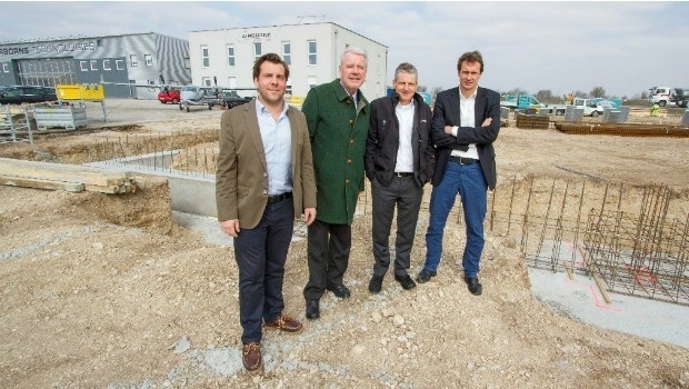
22nd March 2016
Ground-breaking ceremony at Airborne Technologies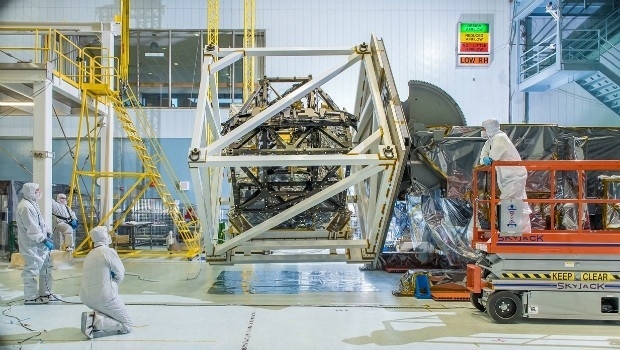
22nd March 2016
Airbus D&S instruments for James Webb Space Telescope get thumbs-up

21st January 2016
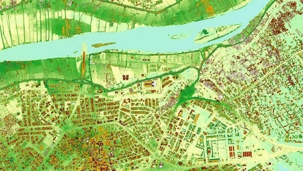
INTERGEO: supporting Hamburg’s Smart City quest


7th January 2016
INTERGEO: the global hub for Geo business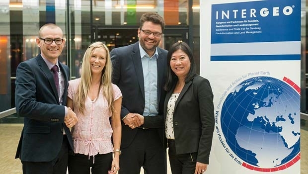
28th October 2015
Bringing high-res SAR Earth Observation imagery to the UK

28th October 2015
INTERGEO 2015 Review - Going global. Going great!


26th June 2015
Copernicus: launching companies, not just satellites


14th April 2015
WorldView-3: setting new standards in Earth Observation
23rd February 2015
WorldView-3: setting new standards in Earth Observation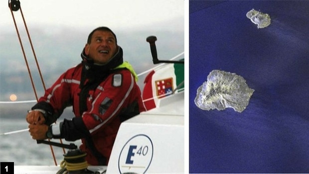
2nd January 2015
Satellites guide sailor from treacherous waters
23rd October 2014
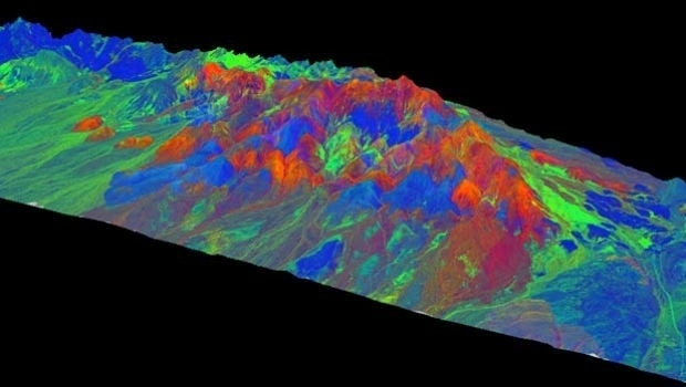
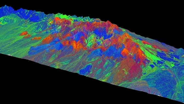
TanDEM-X satellite mission begins science phase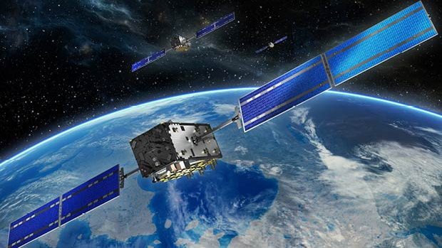
10th October 2014
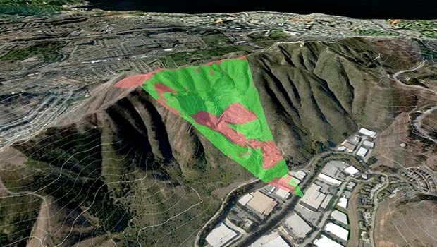
Cutting costs in aerial surveying by combining LiDAR and hyperspectral imaging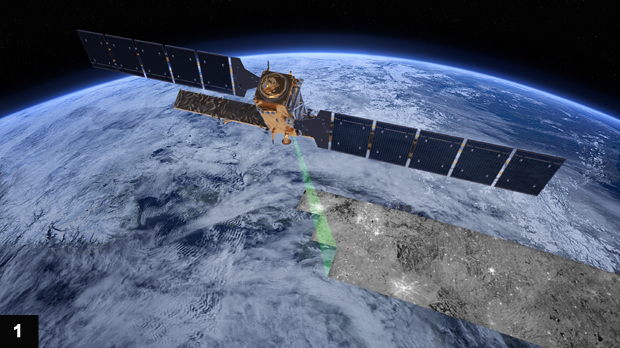
2nd September 2014
Sentinel-1A adds yet another string to its bow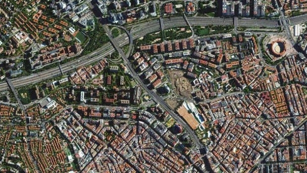
11th June 2014
Trends in the Optical Commercial Remote Sensing Industry - Part 2
11th June 2014
Trends in the Optical Commercial Remote Sensing Industry - Part 1