
Take Note of Recent Changes to Insurance Law, Urged by UAVAir
5th May 2016
Take Note of Recent Changes to Insurance Law, Urged by UAVAir
5th May 2016
Take Note of Recent Changes to Insurance Law, Urged by UAVAir5th May 2016
Hemisphere GNSS Announces Management Changes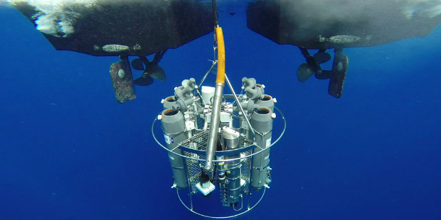
4th May 2016
Airbus and Hexagon Geospatial Sign Content Agreement for Smart M.App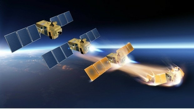
3rd May 2016
Introducing AeryonLive – the SaaS platform for UAS fleet management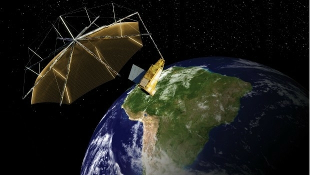
3rd May 2016
Airbus Defence and Space signs contract to build Biomass3rd May 2016
Diversified Communications Launches Commercial UAV News Site
29th April 2016
CGG Enters into Agreement for the Sale of its Multi-Physics Business28th April 2016
DigitalGlobe to Provide WorldView-4 Access for a New Customer28th April 2016
DigitalGlobe Reports First Quarter 2016 Results
27th April 2016
Call for Speakers for North America’s Largest Commercial Drone Show
26th April 2016
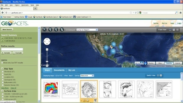
Elsevier and Schlumberger Integrate Partnership Further
26th April 2016
Sentinel-1B on its way to complete Europe´s “Radar Vision”26th April 2016
Sentinel-1B launched to complete radar pair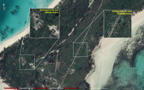
25th April 2016
Change Detection analysis of Farquhar Island after major hurricane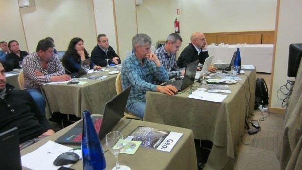
23rd April 2016
First Bentley ContextCapture Workshop in Madrid, Spain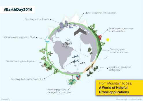
21st April 2016
Earth Day 2016: From mountain to sea, a world of helpful drone apps
19th April 2016
OneWeb Satellites completes its industrial organization
19th April 2016
Space solutions for climate change and the environment: 1-day workshop18th April 2016
Final Stage of SPOT Gen3® Messenger Rollout
15th April 2016
Topcon demonstrates Smart Working Tech at Geo Business15th April 2016
DigitalGlobe Delivers First Phase of Mapping Initiative for Australia14th April 2016
Launch of second satellite in 'radar vision' mission
14th April 2016
Ecometrica becomes Partner for CDP’s water and forest programmes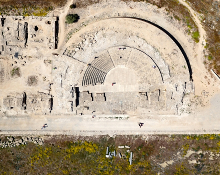
14th April 2016
World Heritage site surveyed by QuestUAV team14th April 2016
exactEarth Announce New Strategic Alliance with Larus Technologies14th April 2016
DigitalGlobe to Announce Q1 2016 Financial Results on April 2713th April 2016
CNES selects Airbus D&S to build instrument for MicroCarb
12th April 2016
ISPRS awards Prof. Wolfgang Foerstner with Brock Gold Medal12th April 2016
Inmarsat selects Kontron as key supplier for European Aviation Network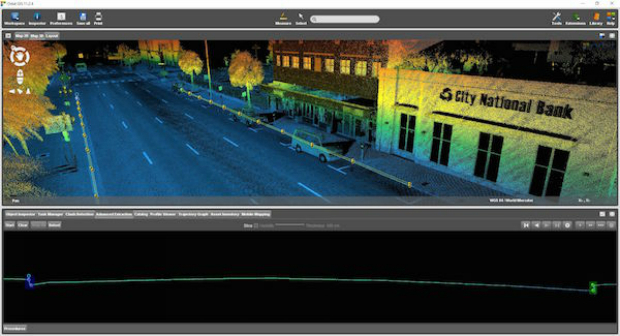
11th April 2016
Orbit GT shows automated Feature Extraction tools at SPAR, Houston.6th April 2016
The new version 6.1 of the PHOTOMOD software family has been released5th April 2016
NCTech unveils new 360 degree imaging developments for iSTAR camera5th April 2016
Sofradir space activities update - role in ExoMars mission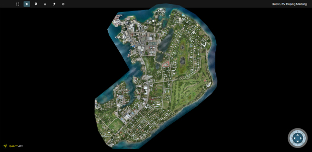
1st April 2016
QuestUAV's South Korean Partner maps Madang, Papua New Guinea31st March 2016
Airbus Defence and Space to Enhance Qatar Armed Forces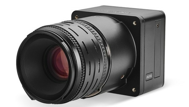
30th March 2016
Direct Georeferencing with Phase One iXU 150 Camera and POS AVX 210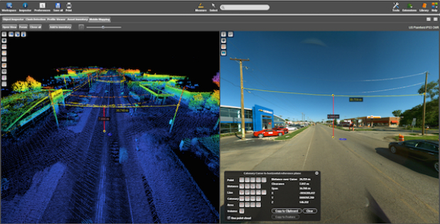
29th March 2016
Commercial UAV Expo Issues Free Report: Surveying and Mapping with UAVs
25th March 2016
Space solutions for smarter mobility – 1-day workshop24th March 2016
ULA Atlas V Rocket lifts off with 3D Printed Parts24th March 2016
Trimble Seismic Navigation Systems for Geophysical Exploration23rd March 2016
Strong Support for Commercial UAV Expo 2016
23rd March 2016
Launch Of Utility Training Academy For Unmanned Aerial Systems