
Satellite Imaging
Don't miss a beat, sign up to our newsletter
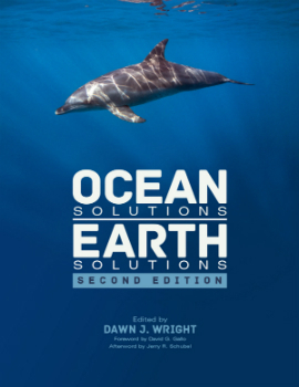
New Esri Book Shows How GIS Technology Can Help the Oceans Thrive
9th June 2016
New Esri Book Shows How GIS Technology Can Help the Oceans Thrive
GLIS 2016: A New Era of Connectivity through Space
8th June 2016
GLIS 2016: A New Era of Connectivity through Space
What is the economic value of satellite Imagery?
8th June 2016
What is the economic value of satellite Imagery?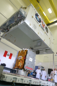
Airbus Defence and Space completed PerúSAT-1 in less than 24 months
6th June 2016
Airbus Defence and Space completed PerúSAT-1 in less than 24 months
Wanted: Mobile Apps to Handle Big Data from Space
6th June 2016
Wanted: Mobile Apps to Handle Big Data from Space
SonarMite™ Drivers now Available for Trimble Access Field Software
4th June 2016
SonarMite™ Drivers now Available for Trimble Access Field Software
Underwater ‘lost city’ found to be geological formation
2nd June 2016
Underwater ‘lost city’ found to be geological formation
Airbus Defence and Space and the ESA launch Bartolomeo
2nd June 2016
Airbus Defence and Space and the ESA launch Bartolomeo
Airbus Defence and Space to guide lunar lander to the Moon
2nd June 2016
Airbus Defence and Space to guide lunar lander to the Moon
Airbus D&S and Telespazio France provide service for French Navy
2nd June 2016
Airbus D&S and Telespazio France provide service for French Navy
First laser transmission of image taken by the Sentinel 1A satellite
1st June 2016
First laser transmission of image taken by the Sentinel 1A satellite
First three subcontractors selected by OneWeb Satellites
1st June 2016
First three subcontractors selected by OneWeb Satellites
PILOT system contract between ESA and Airbus Defence and Space
1st June 2016
PILOT system contract between ESA and Airbus Defence and Space_attribute_to_CIMBALY-V.jpg)
Globalstar’s SPOT Gen3 helps with rescues during Marathon Des Sables
1st June 2016
Globalstar’s SPOT Gen3 helps with rescues during Marathon Des Sables
.jpg)
Unique Mapping Solution from ScientificAerospace and DroneMetrex
31st May 2016
Unique Mapping Solution from ScientificAerospace and DroneMetrex
PCI Delivers High Volume Production System to Skymap Global Singapore
27th May 2016
PCI Delivers High Volume Production System to Skymap Global Singapore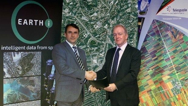
Earth-i and Telespazio Vega Sign Memorandum of Understanding
26th May 2016
Earth-i and Telespazio Vega Sign Memorandum of Understanding
Septentrio expands in Europe by signing new partnership with Innovelec
24th May 2016
Septentrio expands in Europe by signing new partnership with Innovelec
Deep Space Industries to Manufacture Pathfinder Small Satellites
24th May 2016
Deep Space Industries to Manufacture Pathfinder Small Satellites
FOCUS 35 Total Station Monitors Dam For Movement
23rd May 2016
FOCUS 35 Total Station Monitors Dam For Movement
GLIS 2016: How Space Contributes to a Better World?
20th May 2016
GLIS 2016: How Space Contributes to a Better World?
LizardTech to Demo Latest Version of Express Server
19th May 2016
LizardTech to Demo Latest Version of Express Server
Airbus Defence and Space starts Orion service module assembly.
19th May 2016
Airbus Defence and Space starts Orion service module assembly.
Harris Geospatial Solutions to Offer Icaros OneButton™ with ENVI®
18th May 2016
Harris Geospatial Solutions to Offer Icaros OneButton™ with ENVI®
USGIF Launches Universal GEOINT Certification Program
18th May 2016
USGIF Launches Universal GEOINT Certification Program
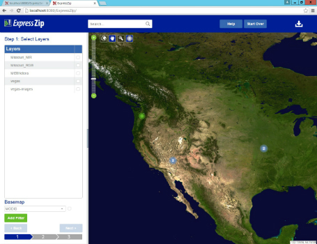
LizardTech Launches Express Server 9.5 at GEOINT 2016 Symposium
16th May 2016
LizardTech Launches Express Server 9.5 at GEOINT 2016 Symposium
New tool supports Global Intelligence Community
16th May 2016
New tool supports Global Intelligence CommunityAirbus Defence and Space opens a ground station in Australia
16th May 2016
Airbus Defence and Space opens a ground station in Australia
Second Women in Drones Event Planned for InterDrone
13th May 2016
Second Women in Drones Event Planned for InterDroneQuestUAV complete reseller rollout of Q-100 DATAhawks
13th May 2016
QuestUAV complete reseller rollout of Q-100 DATAhawks
UAVAir train candidates for better standard of drone pilot graduates
11th May 2016
UAVAir train candidates for better standard of drone pilot graduates
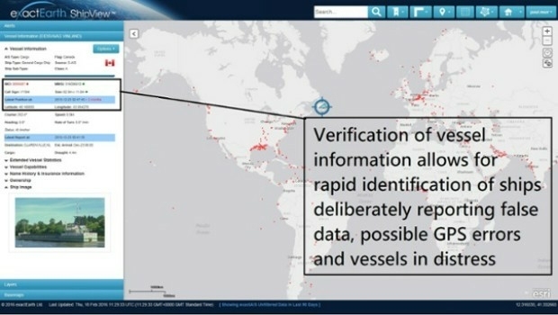
Knowledge is Power- exactEarth Announces Vital New Information Service
11th May 2016
Knowledge is Power- exactEarth Announces Vital New Information Service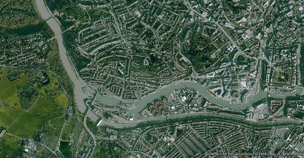
Earth-i Takes the Best of British to Geospatial World Forum
10th May 2016
Earth-i Takes the Best of British to Geospatial World Forum
Radiodetection launches new Ground Penetrating Radar systems
10th May 2016
Radiodetection launches new Ground Penetrating Radar systems
Nottingham flood expert is honoured by Royal Geographical Society
10th May 2016
Nottingham flood expert is honoured by Royal Geographical Society

Free Drone Live-Demo at CAPIGI GeoAgri 2016
9th May 2016
Free Drone Live-Demo at CAPIGI GeoAgri 2016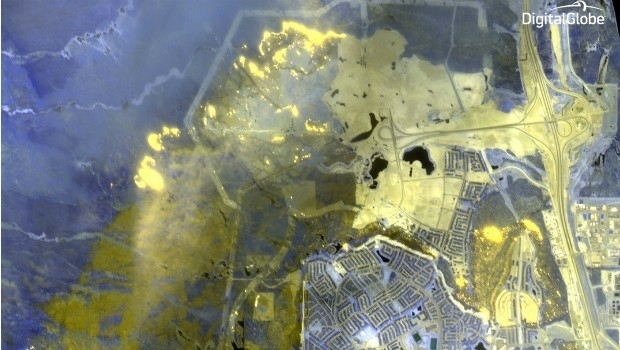
DigitalGlobe Dramatic Images: Oil Sands Fire
9th May 2016
DigitalGlobe Dramatic Images: Oil Sands Fire