
3D PluraView Monitor product family expanded – new 22" Full-HD Model
14th January 2021
3D PluraView Monitor product family expanded – new 22" Full-HD Model
14th January 2021
3D PluraView Monitor product family expanded – new 22" Full-HD Model
8th January 2021
ClearSkies Geomatics acquired the AERIALSURVEY.com8th December 2020
Racurs releases new generation photogrammetric platform PHOTOMOD 7.0
10th November 2020
SimActive Releases Version 8.6 of Correlator3D
4th November 2020
Improving your Photogrammetric Workflow with New Version 8.630th October 2020
RS Fire 2020: The Remote Sensing & Wildland Fire Symposium Series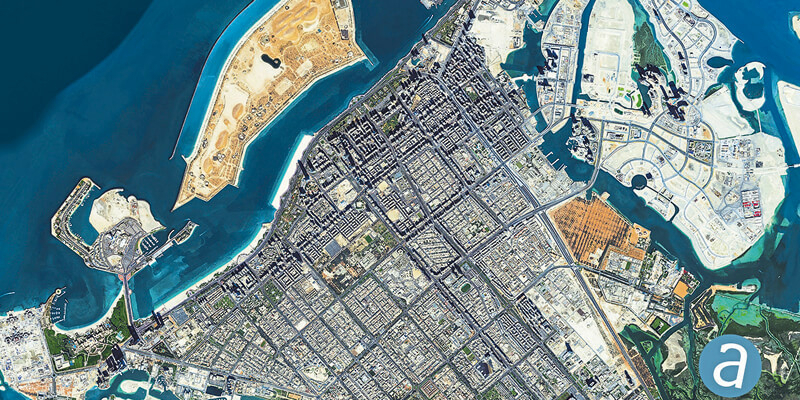
29th October 2020
SimActive Develops New Workflow for Faster Processing of Large Projects29th October 2020
Teledyne DALSA releases powerful suite of image processing and artificial intelligence software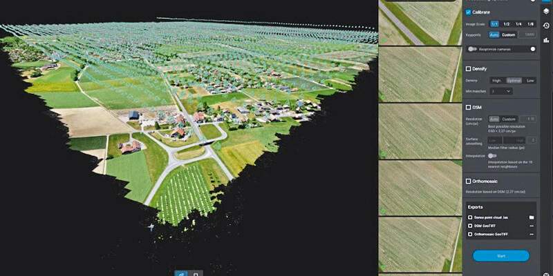
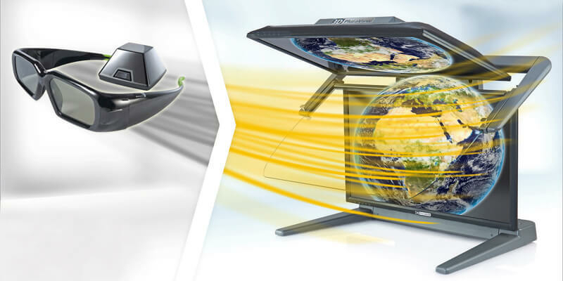
29th October 2020
Schneider Digital’s 3D PluraView stereo monitor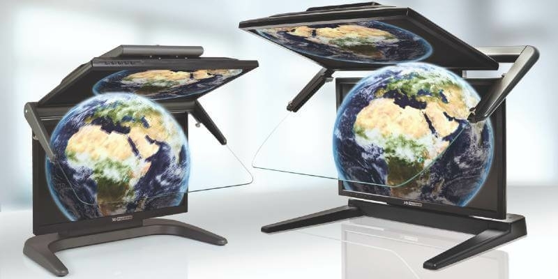
27th October 2020
3D PluraView Monitor product family expanded – new 22″ Full-HD Model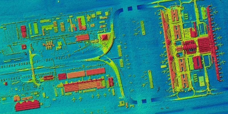
14th October 2020
First high-resolution, homogeneous Digital Surface Model for Germany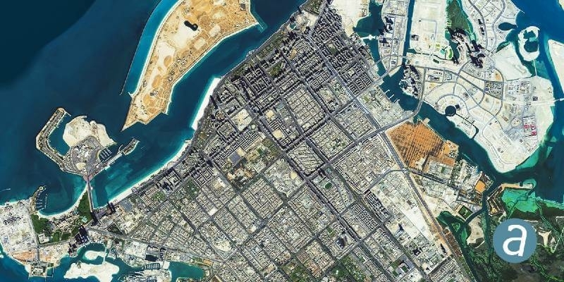
13th October 2020
SimActive Develops New Workflow for Faster Processing of Large Projects2nd October 2020
GeoCue Group Launches GeoCue Australia Pty
29th September 2020
How to Quickly Generate High-Quality Orthomosaics Webinar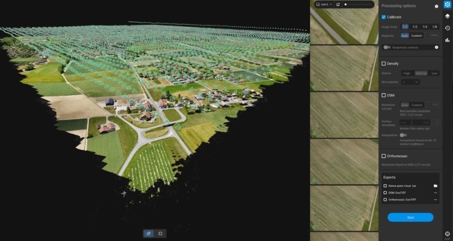
24th September 2020
Pix4D announces Pix4Dmatic: accurate, faster photogrammetry on a larger scale
22nd September 2020
10th IGRSM International Conference and Exhibition on Geospatial & Remote Sensing (IGRSM 2020)

17th September 2020
Phase One Industrial and Acecore Announce Integration of Camera and Drone Technologies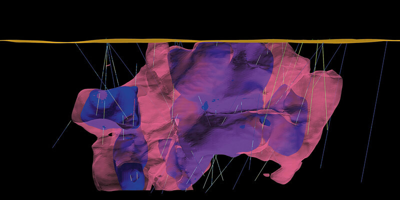
16th September 2020
Enhanced geology and mine design in Vulcan 2020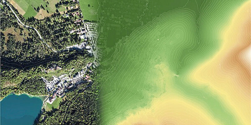
11th September 2020
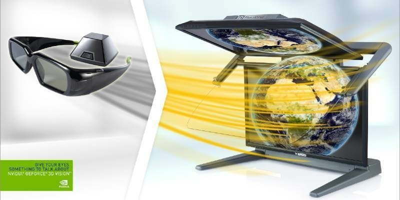
Support for 3D Vision Pro canceled by NVIDIA! The alternative by Schneider Digital is the 3D PluraView stereo monitor10th September 2020
Esri Acquires nFrames to Enhance Its 3D Capabilities
27th August 2020
Elevate your performance with UltraMap 5.0
26th August 2020
Atlantic Purchases First Phase One Industrial Large-Format Camera In The USA
26th August 2020
SimActive Software Used for Oil and Gas Seismic Exploration7th August 2020
PCI Geomatics Releases New Features & Full ICEYE SAR Sensor Support in Geomatica Banff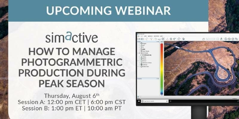
27th July 2020
SimActive announces “How to Manage Photogrammetric Production During Peak Season” webinar22nd July 2020
10th IGRSM International Conference and Exhibition on Geospatial & Remote Sensing (IGRSM 2020)
7th July 2020
SimActive Software Used for Oil and Gas Seismic Exploration
6th July 2020
Intergeo 2020: 100 percent digital with a real network atmosphere1st July 2020
Headwall Adds to Leadership Team with Director of Manufacturing & Operations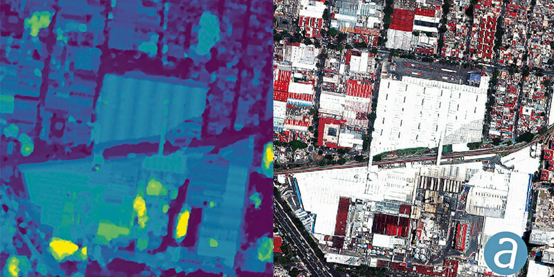
1st July 2020
SimActive Involved in the Mapping of a UNESCO Archeological Site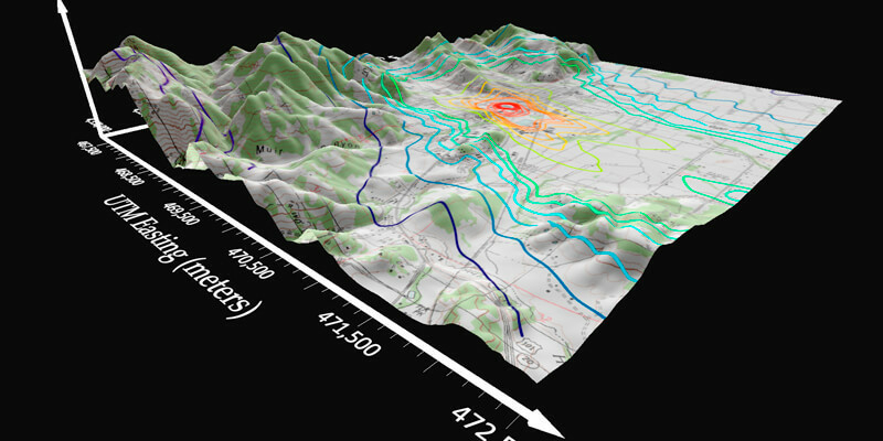
1st July 2020
Golden Software Simplifies Surfer Workflows for Faster Gridding1st July 2020
PARSEC Business Accelerator Boosts EO Enterprises
22nd June 2020
GeoCue Group Releases True View® 615/620; RIEGL/Applanix-based UAS LIDAR System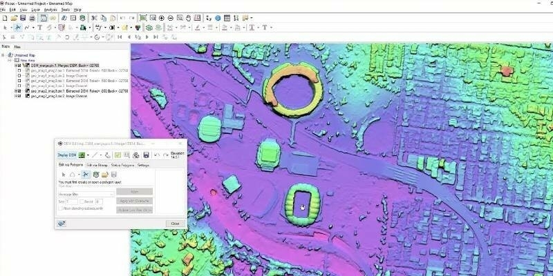
11th June 2020
PCI Geomatics Releases New Features for Geomatica Banff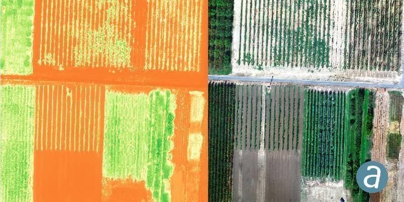
9th June 2020
SimActive Introduces Cloud Sharing and Reflectance Calibration with New Version 8.5
9th June 2020
Pix4D launches stand-alone photogrammetry cloud processing solutions

4th June 2020
CHNT 25, 2020 - Artificial Intelligence, New pathways towards cultural heritage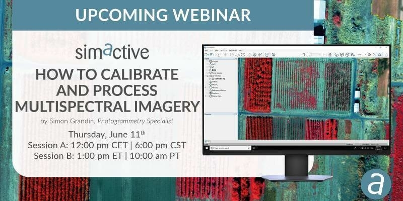
2nd June 2020
Simactive announces Webinar on How to Calibrate and Process Multispectral Imagery
1st June 2020
Diamond Aircraft Appoints New Service Center in Texas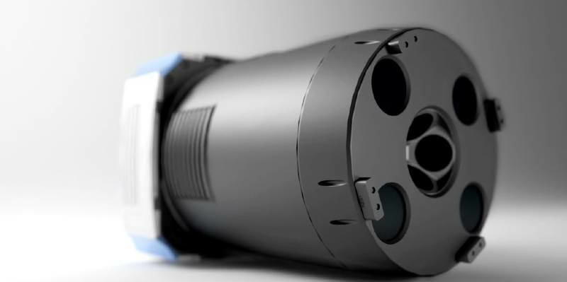
21st May 2020
Broaden your perspective with the new UltraCam Osprey 4.1