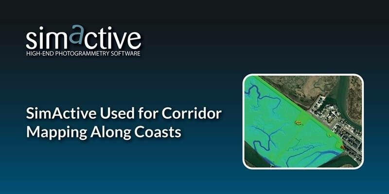
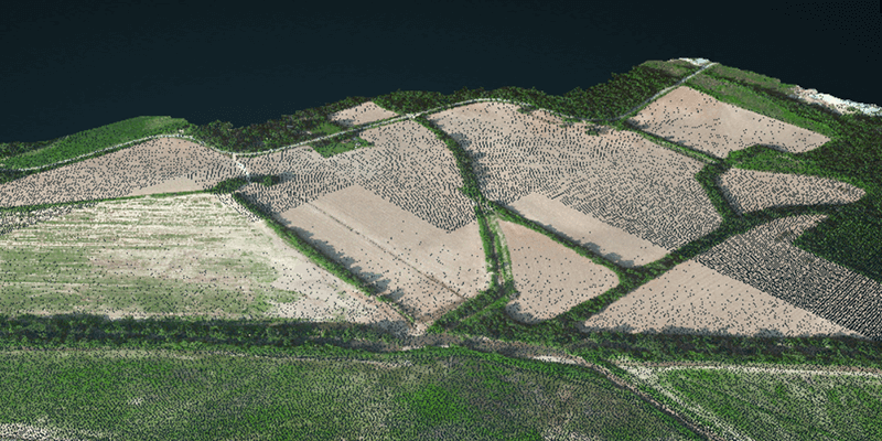
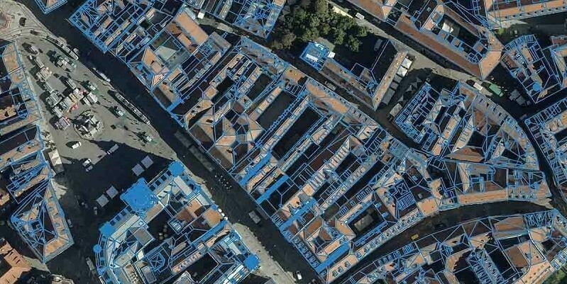
SimActive Used for Corridor Mapping Along Coasts
18th March 2025
SimActive Used for Corridor Mapping Along Coasts
18th March 2025
SimActive Used for Corridor Mapping Along Coasts
18th February 2025
SimActive Used to Map Large Oil & Gas Operation
17th February 2025
Topcon and Pix4D collaborate to advance photogrammetry solutions
14th February 2025
Do Larger Format Sensors Increase Mapping Productivity?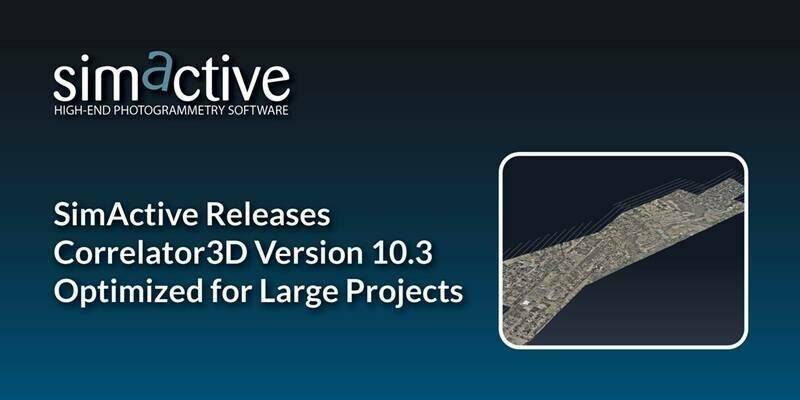
21st January 2025
SimActive Releases Correlator3D Version 10.3 Optimized for Large Projects
7th November 2024
Vegetation Assessment Along Waterbodies Completed with SimActive

9th October 2024
SimActive Used for Mapping Construction Projects
30th September 2024
Can RTK/PPK Really Remove the Need for GCPs?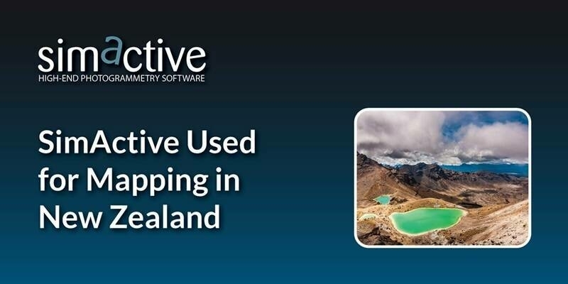
10th September 2024
SimActive Used for Mapping in New Zealand
13th August 2024
SimActive Releases Correlator3D Version 10.2 With Enhanced Editing Tools
30th July 2024
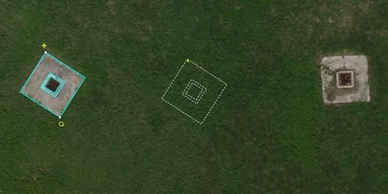
Spending Less Editing Time with Correlator3D Version 10.2
13th June 2024
Vexcel Open Day India: Mapping Continents & Cities in 3D with Photogrammetry and LiDAR
5th June 2024
Fixed-Wing Drones: Are They Better Than Multi-Rotor?
3rd May 2024
Mapping Hilly Terrains With Drones: Is It Possible?
19th April 2024
Virtual Surveyor Adds Planimetric Survey Functionality to Latest Release of Smart Drone Surveying Software
16th April 2024
SimActive Integrated with Multi-Camera Systems for Precision Photogrammetry
19th March 2024
SimActive Used to Control Accuracy Through Different Types of GCPs
14th March 2024
GCPs for Photogrammetry: How Many Do You Need?
20th February 2024
SimActive Used for 3D Mapping from Oblique Cameras
26th January 2024
Teledyne to showcase new scientific imaging and machine vision solutions at SPIE’s Photonics West exhibition
24th January 2024
SimActive Announces Enhanced Cloud Capabilities
19th January 2024
Live Workshop: Photogrammetry in the cloud: is it a good idea?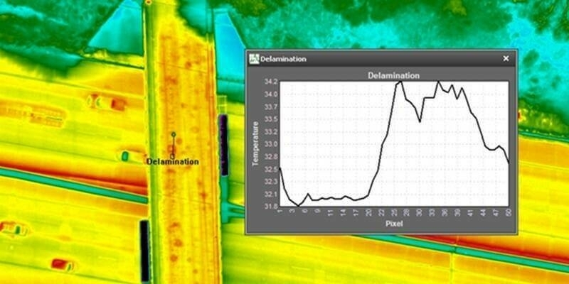
4th January 2024
NV5 Geospatial’s Thermal Infrared Solutions Gain Traction for U.S. Infrastructure Challenges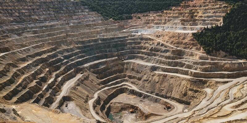
3rd January 2024
SPH & Pix4D reinvent spatial data management for enterprises
5th December 2023
Live Interview: Photogrammetry Trends for 2024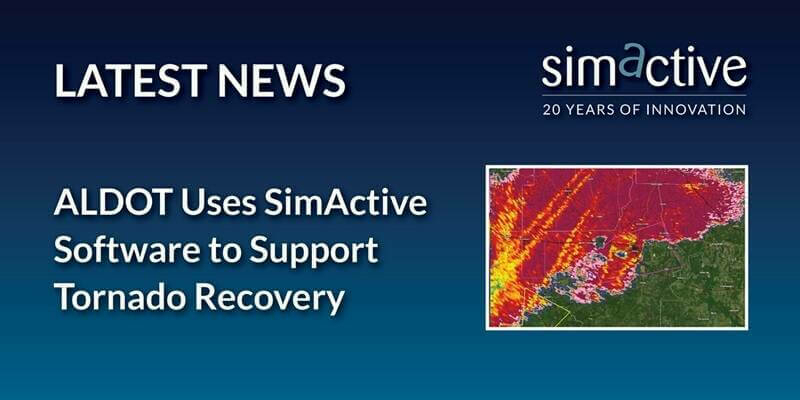
14th November 2023
ALDOT Uses SimActive Software to Support Tornado Recovery

6th November 2023
SimActive Webinar: How to Save Time and Money on Photogrammetry Projects
16th October 2023
SimActive Accelerates Point Cloud Generation with Version 10.1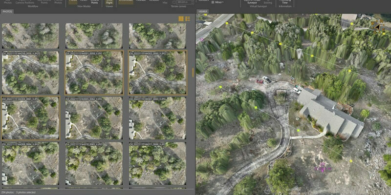
25th September 2023
Virtual Surveyor Unveils Photogrammetry App in Major New Release of Smart Drone Survey Software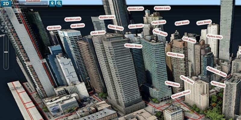
11th September 2023
Fathom revolutionizes flood risk intelligence with new US Flood Map
11th September 2023
DataSight Releases Breakline Builder 4.0
11th September 2023
SimActive Used with Phase One cameras Cameras for Precise Photogrammetry

11th September 2023
Microsoft Collaborates with SimActive on a Cloud Photogrammetry Solution
16th August 2023
SimActive Used with Phase One Cameras for Precise Photogrammetry


24th May 2023
SimActive Software Used for Meeting Accuracy Standards
15th May 2023
How To Meet Photogrammetric Accuracy Standards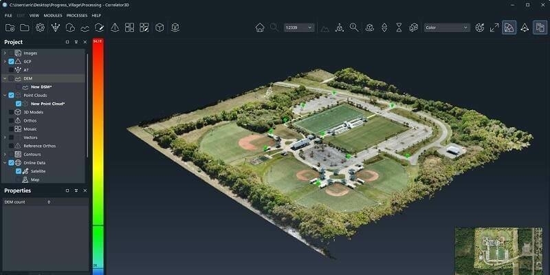
27th April 2023
SimActive Releases Correlator3D Version 10 with High Density Point Cloud Generation
16th March 2023
Eurosense relies on Vexcel Imaging and RhinoTerrain to generate watertight and textured LOD 2 city models
1st March 2023
Qammer H. Abbasi awarded Royal Academy of Engineering Fellowship with Celestia UK