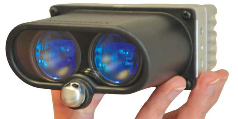
XenomatiX launched the next generation true-solid-state LiDAR
1st July 2021
XenomatiX launched the next generation true-solid-state LiDARTerrestrial and airborne laser (LiDAR) scanners for the collection of 3D point cloud data; software for processing and visualising point clouds and creating 3D models, and use cases for laser scanning
This topic covers the science, the hardware, and the software used to capture, process and apply 3D point cloud data. As well as airborne and terrestrial (tripod-based, vehicle-mounted and handheld) laser (LiDAR) scanners, the topic includes the proprietary and Open Source software employed to process point clouds and create 3D models. It also covers the many and varied uses for 3D laser scanning: topographic mapping, bathymetric mapping, utility mapping, engineering surveying, agriculture, forestry, geology, architecture, industrial facilities, cultural heritage, asset management and construction, collision avoidance in autonomous and semi-autonomous vehicles, and environmental modelling
1st July 2021
XenomatiX launched the next generation true-solid-state LiDAR1st July 2021
G2Survey Limited: The latest Leica Geosystems authorised distributor and service partner
1st July 2021
GeoSLAM launches next generation data processing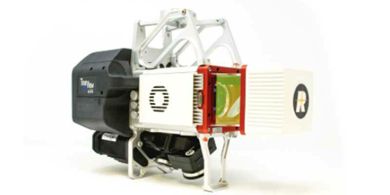
1st July 2021
GeoCue Upgrades Survey-Grade UAS LIDAR/Imaging Systems with True View 635/640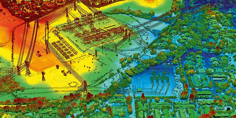
1st July 2021
VeriDaaS Initiates California Statewide LiDAR Collection Project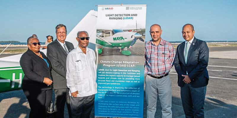
1st July 2021
The Caribbean Community Climate Change Centre (CCCC) Upgrades Riegl Lidar System1st July 2021
Septentrio announces partnership with XenomatiX30th June 2021
Trimble X7 and Perspective 3D Scanning Solution Garners Three International Design Awards
25th June 2021
Geo Week Announces Massive Early Support for 2022 Event24th June 2021
Creaform Announces the Release of VXelements 9.018th June 2021
Airborne Snow Observatories takes delivery of the all-new cutting-edge RIEGL VQ-1560 II-S LiDAR System17th June 2021
Outsight, the 1st LiDAR that Sees Individual Trees While 3D Mapping Forests in Real-Time16th June 2021
Velodyne Lidar Introduces Next-Generation Velabit Sensor
14th June 2021
RIEGL RiCAST: The Sky is Not the Limit with RIEGL’s VQ-840-G8th June 2021
HERE announces mobile LiDAR data, street-level imagery, and core geospatial data now accessible within Bentley’s Orbit for reality modelling and digital twin workflows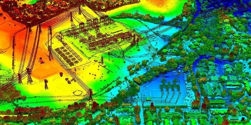
2nd June 2021
VeriDaaS Initiates California Statewide LiDAR Collection Project
1st June 2021
Bathymetric surveys with a UAV and an echo sounder successfully conducted in Israel
28th May 2021
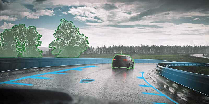
Trimble Introduces Vegetation Management Solution for Improving Electric Utility Infrastructure Resilience
27th May 2021
Hexagon supports new centre for digital planning and construction
26th May 2021
Riegl's Ultimate Lidar Webinar Series: June 2021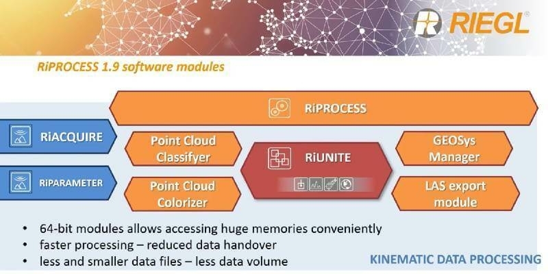
21st May 2021
RIEGL’s RiPROCESS 1.9 with RiUNITE: A New Standard of Speed and Data Compression in Processing Kinematic Data
14th May 2021
RIEGL RiCAST: Miranda and RIEGL’s International Virtual Conference Day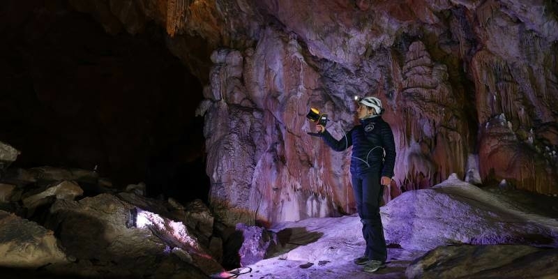
12th May 2021
GeoSLAM Technology put to the test in Deep Time isolation experiment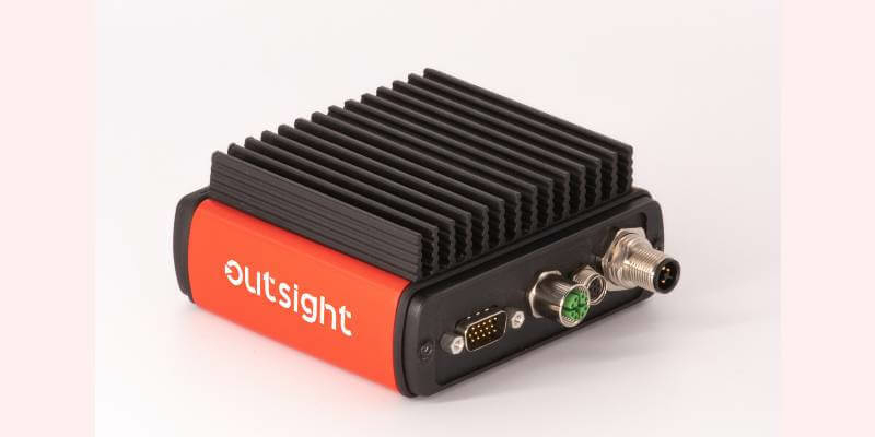
11th May 2021
Outsight Introduces The First Lidar Pre-Processing Software Engine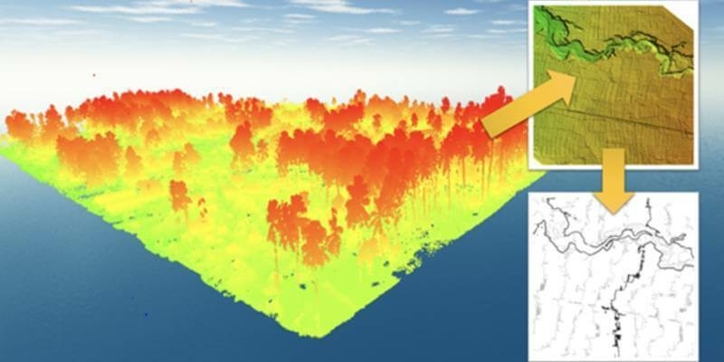
10th May 2021
Terra Drone Has Completed 1000+ LiDAR Survey Projects Globally in 2020
7th May 2021
Riegl Ricast: One Point Cloud At A Time- Extracting Value From Points
29th April 2021
Newcastle University Pioneers Hyper-Resolution Flood Risk Modelling using Bluesky 3D Aerial Survey Data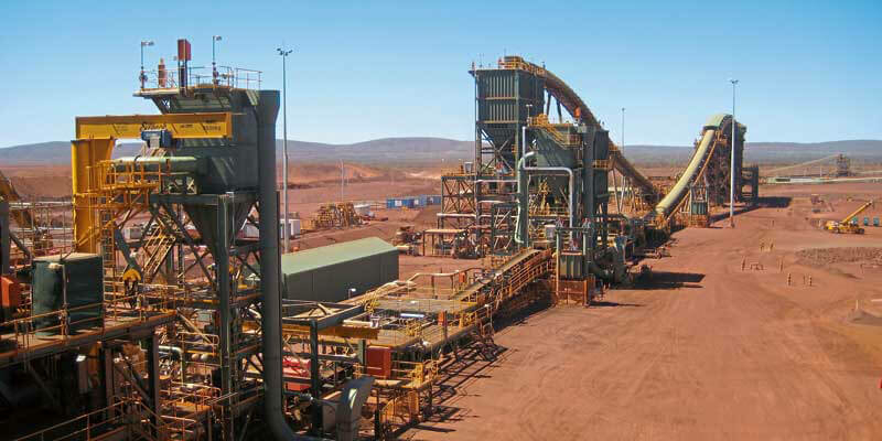
29th April 2021
BNP Paribas Fortis Private Equity, Capricorn Fusion China Fund et al. invest in solid state lidar company, XenomatiX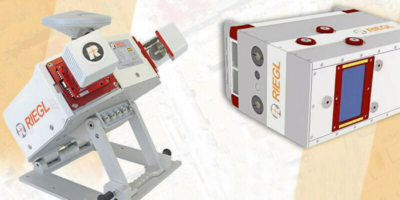
29th April 2021
Riegl Announces New Products In The ALS And MLS Sector28th April 2021
Contractor invests in the Verity enterprise software solution for construction verification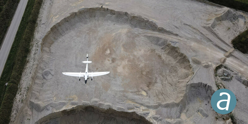
28th April 2021
Processing of Quantum-Systems Drone Data Integrated in SimActive Software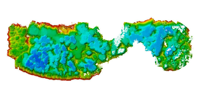
28th April 2021
M&E Deploys Advanced Survey System for Aggregate Mining28th April 2021
Terrain, the new software module by YellowScan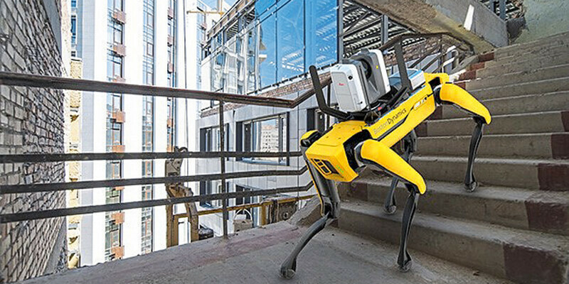
28th April 2021
Leica Geosystems Offers Mobile, Agile 3D Reality Capture Solution for Boston Dynamics Spot
26th April 2021
Riegl Ricast: Scan And Deliver – The New Vux-12014th April 2021
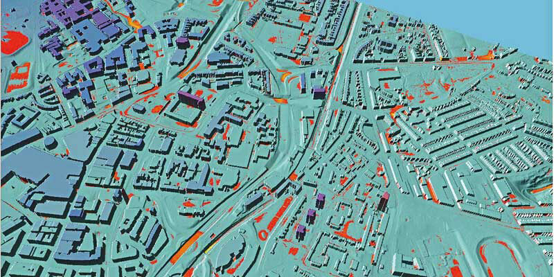
Bluesky MetroVista Mesh Models Underpin Dynamic Map of London12th April 2021
Recordings Are Now Available For The Riegl Ultimate Lidar March 2021 Webinars9th April 2021
New Playlists for Spanish and Portuguese Videos on RIEGL Youtube
31st March 2021
GeoSLAM launches next generation data processing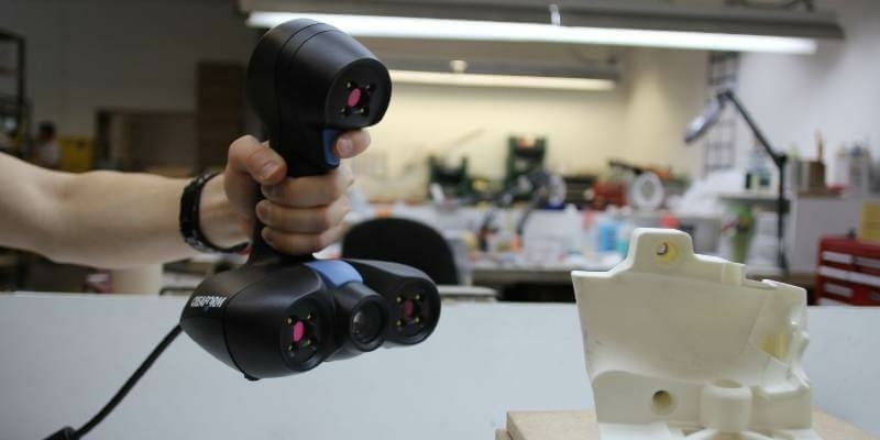
26th March 2021
Creaform Adds ACADEMIA 20 3D Scanner to its Educational Solution Suite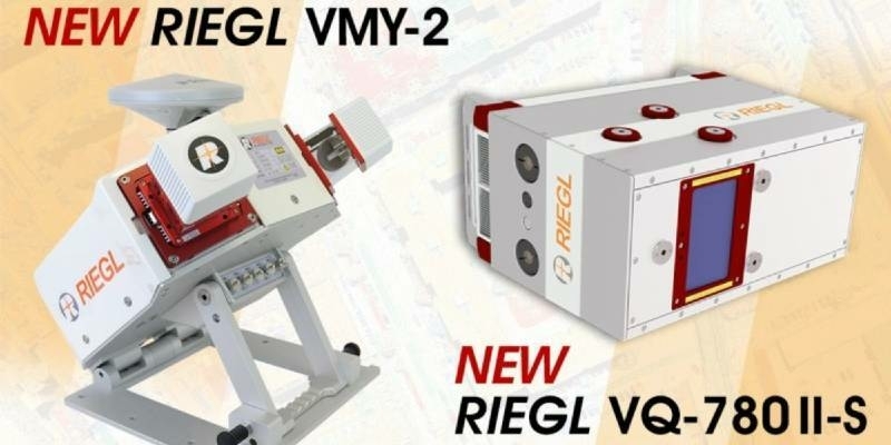
23rd March 2021
RIEGL Announces NEW Products in the ALS and MLS Sector18th March 2021
Riegl’s Ultimate Lidar Webinar Series: March 2021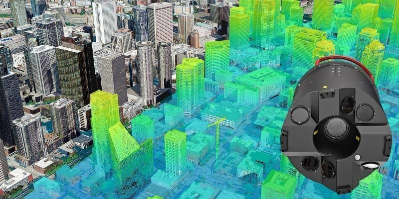
18th March 2021
Bluesky Addresses Urgent Need for 3D Mapping Data with Leica Sensor Investment14th March 2021
Riegl Ricast: Increasing Productivity With Riegl’s Vz-400i Ultimate Lidar Scanner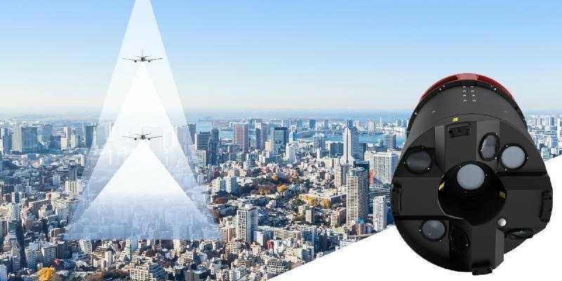
11th March 2021
New Leica CityMapper-2L configuration enables digital twin creation of cities in complex weather and congested flight operation areas