Creaform Adds Two High-Performance Scanners to the HandySCAN 3D | SILVER Series
8th June 2022
Creaform Adds Two High-Performance Scanners to the HandySCAN 3D | SILVER SeriesTerrestrial and airborne laser (LiDAR) scanners for the collection of 3D point cloud data; software for processing and visualising point clouds and creating 3D models, and use cases for laser scanning
This topic covers the science, the hardware, and the software used to capture, process and apply 3D point cloud data. As well as airborne and terrestrial (tripod-based, vehicle-mounted and handheld) laser (LiDAR) scanners, the topic includes the proprietary and Open Source software employed to process point clouds and create 3D models. It also covers the many and varied uses for 3D laser scanning: topographic mapping, bathymetric mapping, utility mapping, engineering surveying, agriculture, forestry, geology, architecture, industrial facilities, cultural heritage, asset management and construction, collision avoidance in autonomous and semi-autonomous vehicles, and environmental modelling
8th June 2022
Creaform Adds Two High-Performance Scanners to the HandySCAN 3D | SILVER Series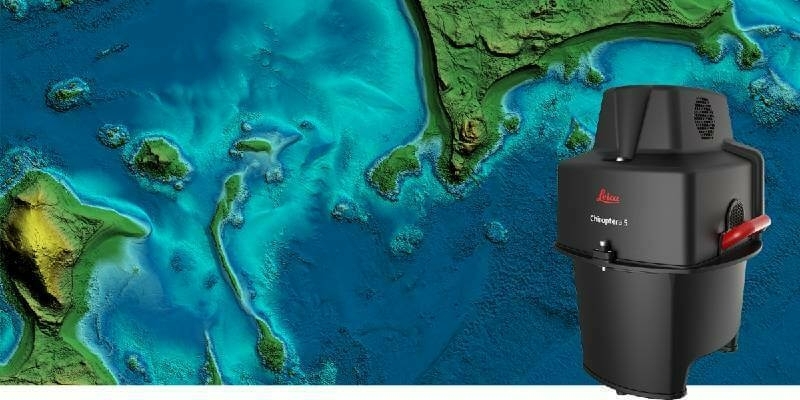
1st June 2022
Leica Geosystems announces major performance increase in airborne bathymetric survey
31st May 2022
This Jubilee Weekend: five London landmarks as you’ve never seen them before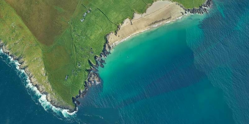
27th May 2022
Fugro’s lidar Geo-data supports OPW’s Irish coastal resilience strategies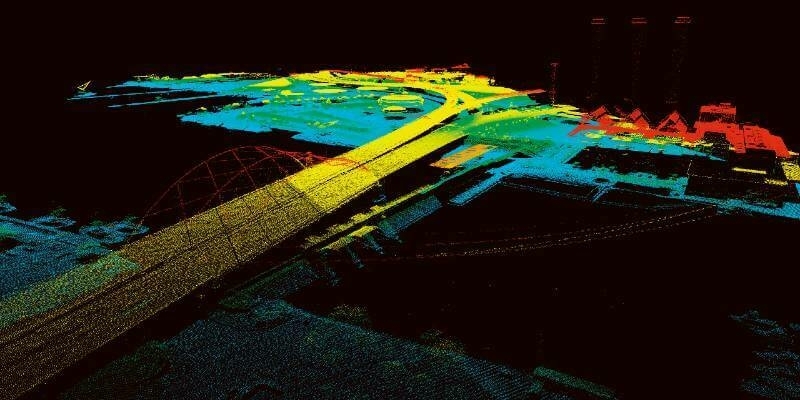
25th May 2022
Unique Integration of UltraCam Eagle and LiDAR Scanner by 95West
20th May 2022
Colourisation and immersive walkthroughs among major GeoSLAM updates
19th May 2022
Dual aerial sensors yield impressive results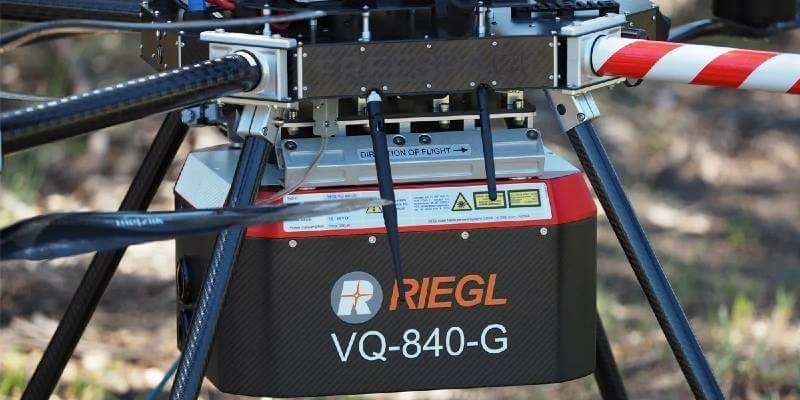
16th May 2022
Riegl Australia: Successful Integration Of The VQ-840-G Into Heavy-Lift Industrial Drone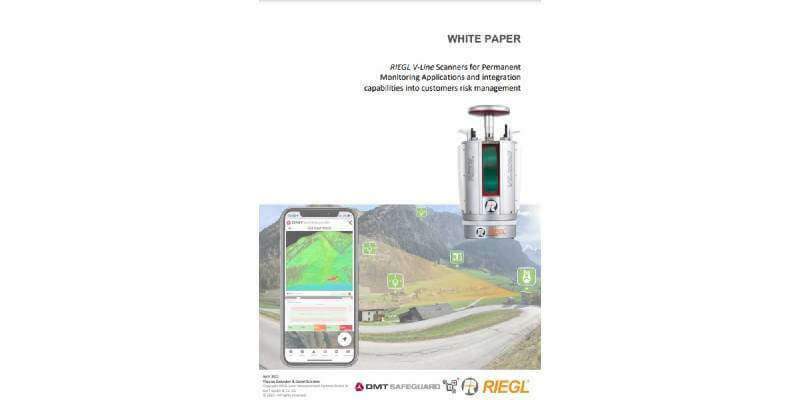
2nd May 2022
NEW White Paper: RIEGL V-Line Scanners for Permanent Monitoring Applications and Integration Capabilities into Customers Risk Management
19th April 2022
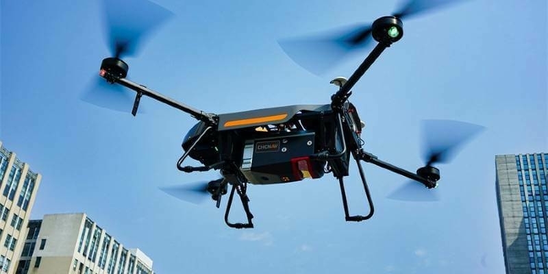
CHC Navigation introduces the AlphaAir 1400 and AlphaAir 2400 Airborne LiDAR Series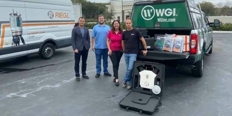
19th April 2022
RIEGL USA Continues to Provide Mobile LiDAR Solutions to WGI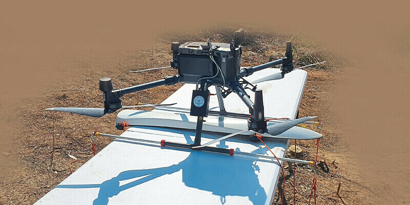
12th April 2022
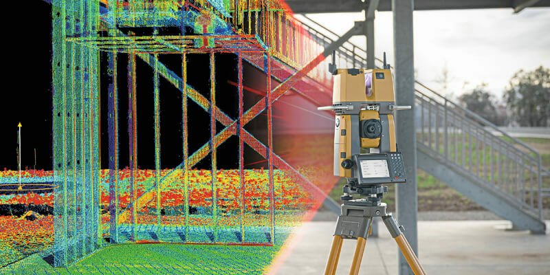
Topcon announces GTL-1200 scanning robot total station12th April 2022
Kinematic LiDAR data processing with RIEGL RiPROCESS 1.9.2 software12th April 2022
RIEGL announces management change to RIEGL Canada12th April 2022
Bluesky LiDAR survey reveals more than 400 archaeological sites
12th April 2022
Survtech using simactive software for energy infrastructure projects12th April 2022
RIEGL VZ-2000i used for permanent forestry monitoring
11th March 2022
ESO Surveyors Utilizing Vz-400i In Australian Cities
4th March 2022
SurvTech Using SimActive Software for Energy Infrastructure Projects
4th March 2022
Recordings Are Now Available For The Riegl Ultimate Lidar February 2022 Webinars1st March 2022
RIEGL VMX-2HA Mobile Mapping System in Use for greehill Urban Forest Car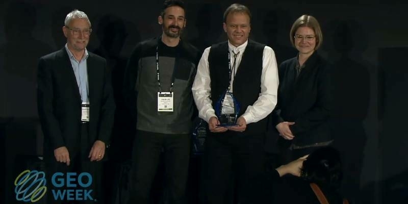
23rd February 2022
Geo Week 2022 Brings the Geospatial and Built Worlds Together In-Person, Exceeds Expectations
21st February 2022
MAPPS Geospatial Excellence Award Projects for spectacular NV5 and GEO1 projects16th February 2022
Riegl Announces Management Change To Riegl Canada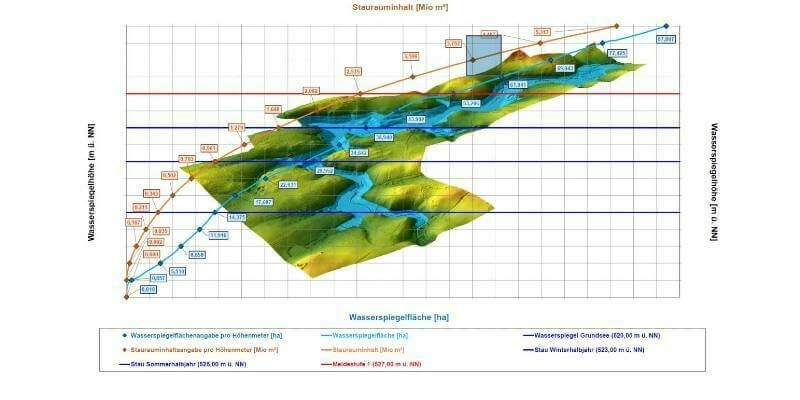
8th February 2022
High-precision 3D surveying of the Liebensteinspeicher reservoir3rd February 2022
RIEGL VZ-2000i used for permanent forestry monitoring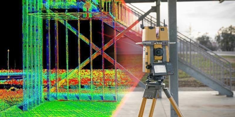
2nd February 2022
Topcon Announces GTL-1200 Scanning Robotic Total Station
31st January 2022
Get the Inside Scoop and Join Us at GEO Week 202227th January 2022
Guy’s Cliffe House: from point cloud to VR
27th January 2022
Luminar to Enable Enhanced Safety and Autonomy on Mercedes-Benz Passenger Cars17th January 2022
Bluesky LiDAR Survey Reveals More than 400 Archaeological Sites5th January 2022
Improving efficiency by 25% at Cotonou Cadjehoun Airport with Topcon17th December 2021
XenomatiX named as CES 2022 Innovation Awards Honoree
16th December 2021
Hexagon’s R-evolution expands its sustainability agenda to help protect coastal blue carbon ecosystems24th November 2021
RIEGL USA Signs New OEM Partner Agreement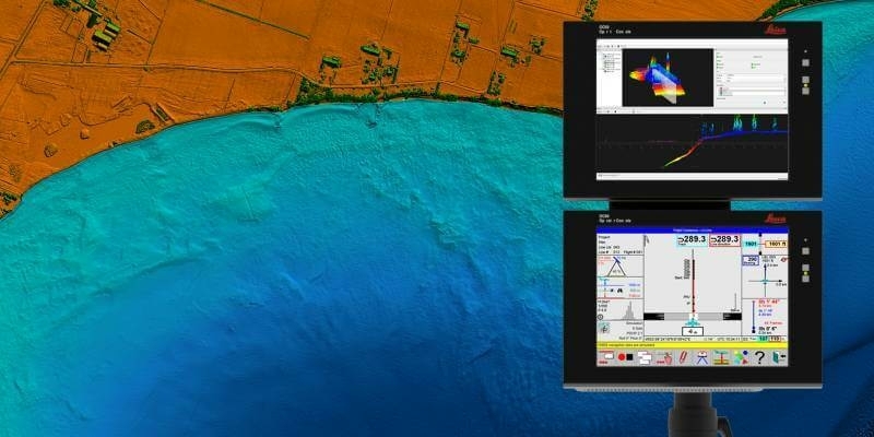
18th November 2021
Hexagon announces partnership with Airbus for near real-time airborne bathymetric LiDAR surveillance system17th November 2021
Bluesky National Tree Map Data Included in First Online Natural Capital Calculator
15th November 2021
XenomatiX wins global road achievement award12th November 2021
GeoCue Expands True View 3DIS Line with True View 4352nd November 2021
GeoCue and BayesMap Announce StripAlign for True View EVO
2nd November 2021
Keynote Lineup Announced For Geo Week 2022
1st November 2021
Geo Week Award Ceremony Nominations Accepted Until Dec 1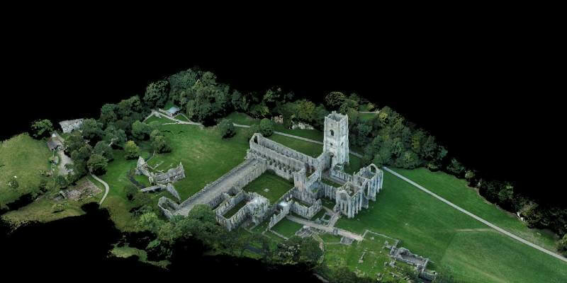
26th October 2021
Tannery discovery redraws map of Fountains Abbey