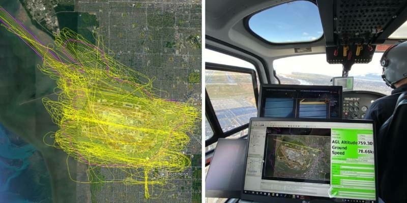
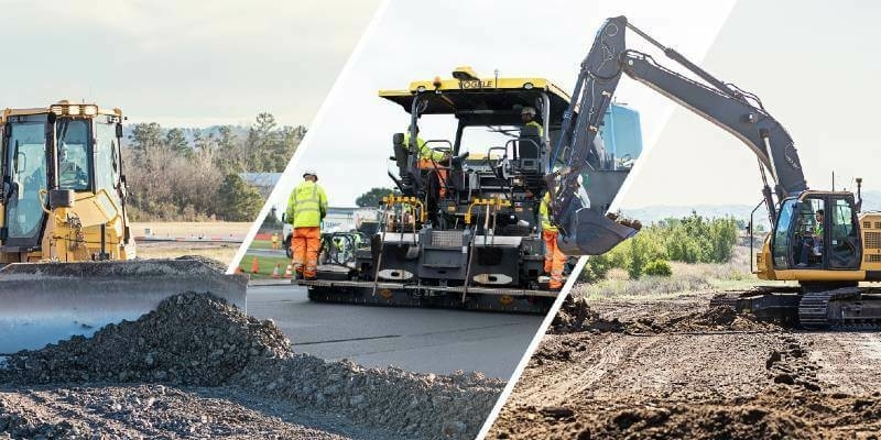
Riegl Lidar Used In Award Winning Digital Twin Project At YVR Airport
17th November 2022
Riegl Lidar Used In Award Winning Digital Twin Project At YVR AirportTerrestrial and airborne laser (LiDAR) scanners for the collection of 3D point cloud data; software for processing and visualising point clouds and creating 3D models, and use cases for laser scanning
This topic covers the science, the hardware, and the software used to capture, process and apply 3D point cloud data. As well as airborne and terrestrial (tripod-based, vehicle-mounted and handheld) laser (LiDAR) scanners, the topic includes the proprietary and Open Source software employed to process point clouds and create 3D models. It also covers the many and varied uses for 3D laser scanning: topographic mapping, bathymetric mapping, utility mapping, engineering surveying, agriculture, forestry, geology, architecture, industrial facilities, cultural heritage, asset management and construction, collision avoidance in autonomous and semi-autonomous vehicles, and environmental modelling
17th November 2022
Riegl Lidar Used In Award Winning Digital Twin Project At YVR Airport
16th November 2022
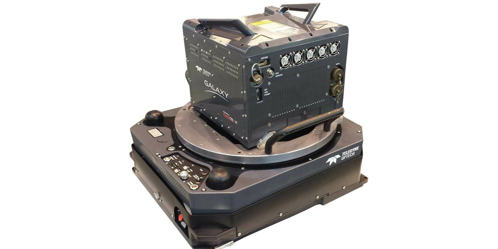
Teledyne Optech Galaxy T2000 mobilized for earthquake recovery and reconstruction effort in China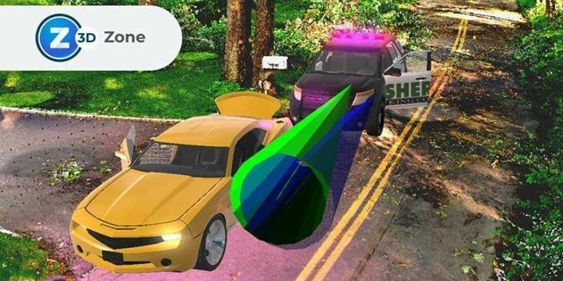
10th November 2022
FARO Zone 3D Forensic Scene Analysis Software Delivers New Photogrammetry Capabilities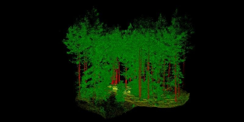
4th November 2022
Mobile LiDAR’s role in bringing ‘Industry 4.0’ to Norwegian forestry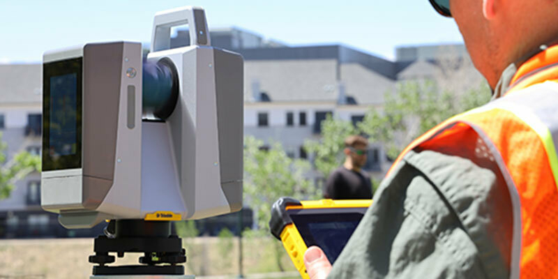
2nd November 2022
New scanning and imaging solution from Trimble simplifies 3D deliverables
2nd November 2022
James Van Rens Appointed to the National Geospatial 3DEP Advisory Subcommittee
2nd November 2022
Fugro and National Maritime Safety Authority improve Papua New Guinea’s navigation safety2nd November 2022
GeoCue welcomes three new distributors to its global network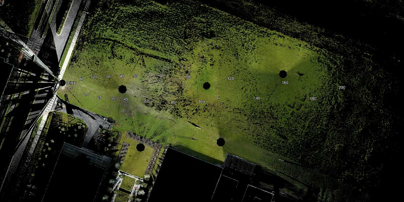
2nd November 2022
Riegl Contributed to groundbreaking multi-enterprise lidar benchmarking study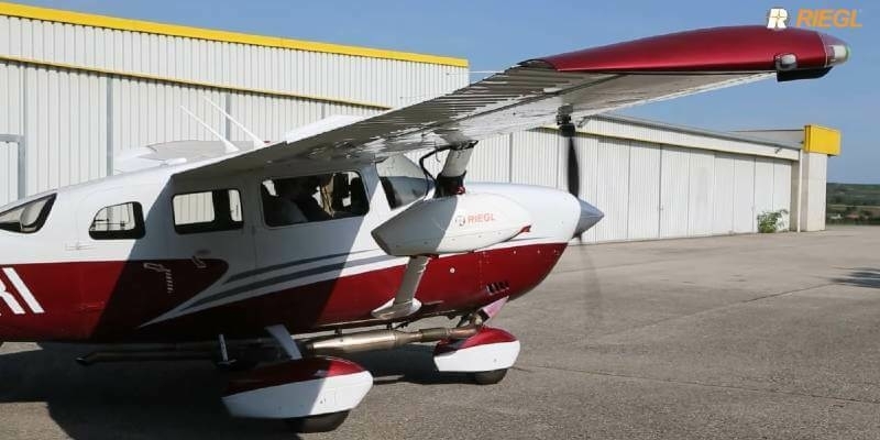
28th October 2022
The New VXintegrity software platform: Surface Damage Assessment Modernized
24th October 2022
Topcon set to feature latest technologies at Bauma in Munich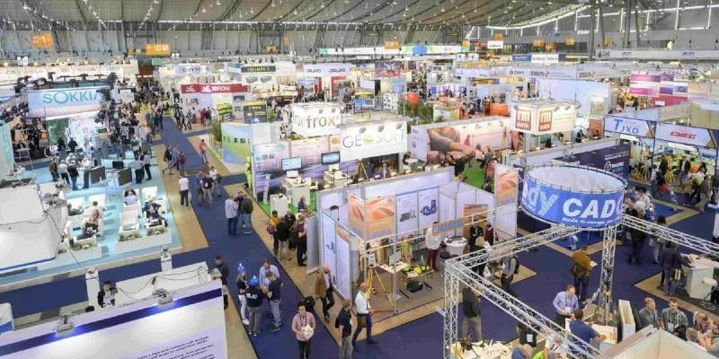
21st October 2022
INTERGEO celebrates a successful comeback
20th October 2022
Geo Week Announces Media Support for 2023 Event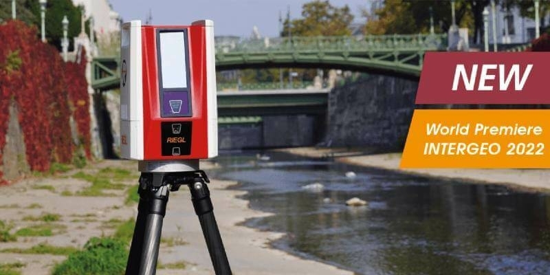
20th October 2022
World Premiere INTERGEO 2022: The New RIEGL VZ-600i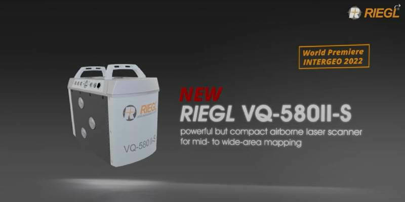
19th October 2022
RIEGL presents product innovations in all areas from terrestrial to airborne, from UAV-based to mobile laser scanning and bathymetry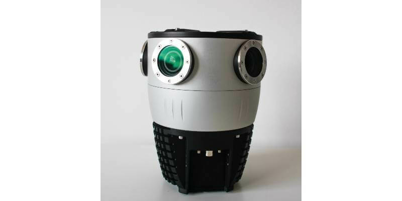
18th October 2022
Mosaic Announces Integration of High Resolution 360º Camera with Laser Scanning Solutions
18th October 2022
RIEGL OEM Partner Phoenix LiDAR Systems is the first to secure the purchase of the NEW VUX-160²³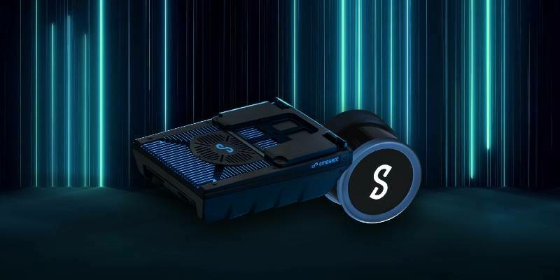
18th October 2022
Emesent launches three time saving products for geospatial professionals
14th October 2022
New solution from Teledyne Geospatial delivers survey-grade lidar point clouds from UAV platforms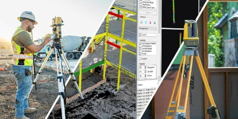
13th October 2022
Topcon to exhibit latest surveying and digital workflow solutions at Intergeo 2022
27th September 2022
GeoSLAM & Flyability combines SLAM with UAV technology to improve safety & accuracy for aggregates industry
26th September 2022
GeoCue welcomes three new distributors to its global network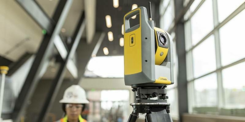
22nd September 2022
Trimble Sets New Standard For Robotic Total Station Scalability
15th September 2022
Creaform Revolutionizes Professional-Grade 3D Scanning with peel 3 and peel 3.CAD
8th September 2022
LiDAR and Digital Surface Models from Bluesky Aid Wind Farm Planning
5th September 2022
Fototerra’s purchase of new Optech Galaxy PRIME will enable pristine, high-resolution mapping of forests and urban centres in Latin and South America
22nd August 2022
USGIF Announces 2022 Scholarship Award Winners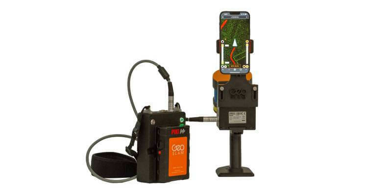
16th August 2022
GeoSLAM adds real-time data capture feedback to ZEB Horizon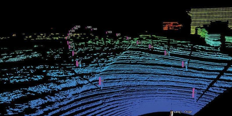
8th August 2022
RIEGL Contributed to Groundbreaking Multi-Enterprise LiDAR Benchmarking Study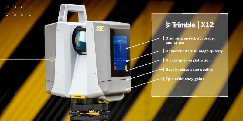
27th July 2022
New Scanning And Imaging Solution From Trimble Simplifies 3D Deliverables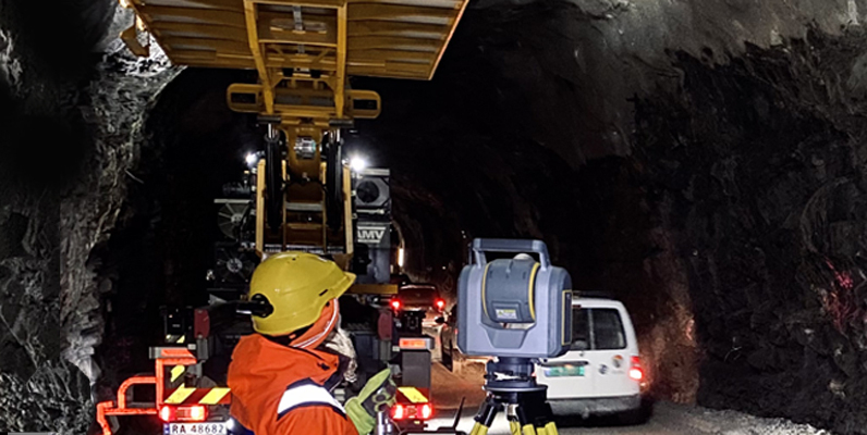

21st July 2022
RIEGL VZ-400i BEAMS a New Light on Temperate Forest Carbon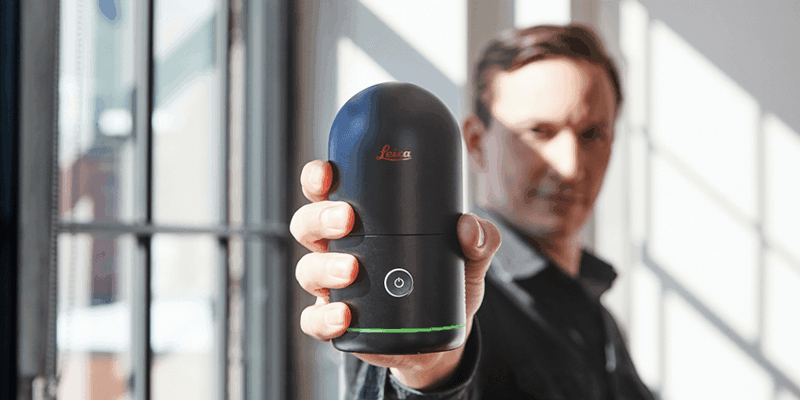
19th July 2022
Hexagon disrupts reality capture once again with its next-generation, ultra-fast Leica BLK360 laser scanner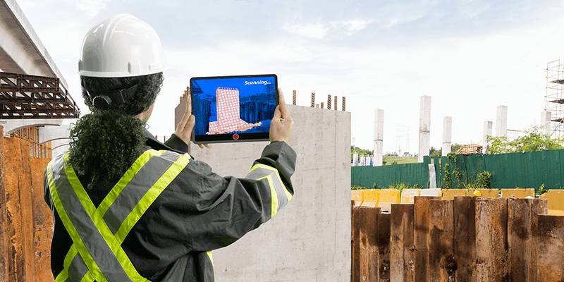
19th July 2022
Clirio launches world's first end-to-end holographic scan and review apps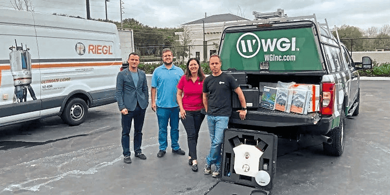
19th July 2022
RIEGL USA continues to provide mobile LiDAR solutions to WGI
12th July 2022
RIEGL to Attend and Exhibit at Esri UC 2022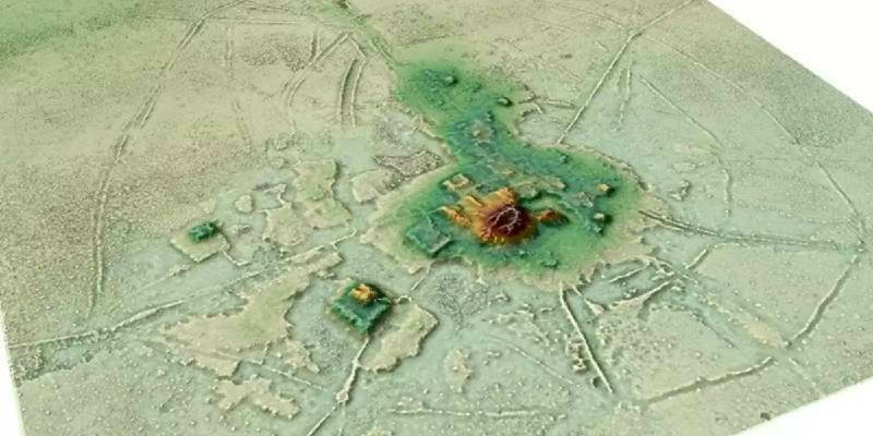
6th July 2022
Lidar Reveals Pre-Hispanic Low-Density Urbanism in the Bolivian Amazon
22nd June 2022
Hexagon disrupts reality capture once again with its next-generation, ultra-fast Leica BLK360 laser scanner
16th June 2022
Bluesky LiDAR and Aerial Photography Bring Build Projects to Life for Dublin Design Studio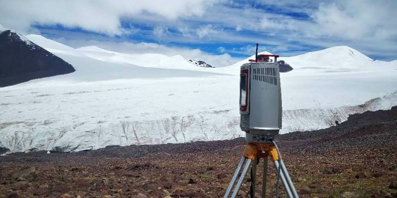
15th June 2022
RIEGL VZ-6000 Laser Scanner Assists Glaciology Research in China
10th June 2022
PointFuse revolutionizes reality capture deliverables with free new Plugin for Autodesk Revit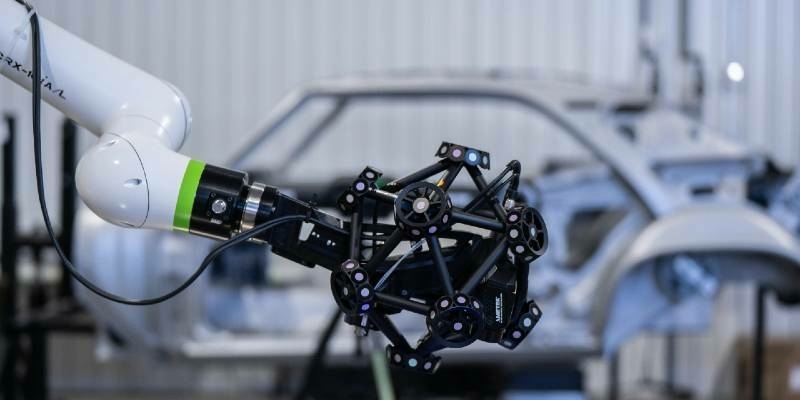
9th June 2022
Automated Quality Control with Collaborative Robots: A Game Changer for Small and Medium Enterprises