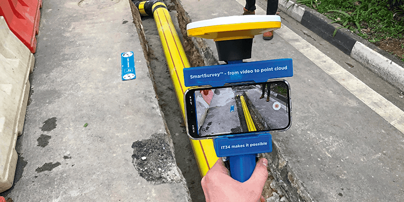
SimActive Releases Correlator3D Version 10 with High Density Point Cloud Generation
27th April 2023
SimActive Releases Correlator3D Version 10 with High Density Point Cloud GenerationTerrestrial and airborne laser (LiDAR) scanners for the collection of 3D point cloud data; software for processing and visualising point clouds and creating 3D models, and use cases for laser scanning
This topic covers the science, the hardware, and the software used to capture, process and apply 3D point cloud data. As well as airborne and terrestrial (tripod-based, vehicle-mounted and handheld) laser (LiDAR) scanners, the topic includes the proprietary and Open Source software employed to process point clouds and create 3D models. It also covers the many and varied uses for 3D laser scanning: topographic mapping, bathymetric mapping, utility mapping, engineering surveying, agriculture, forestry, geology, architecture, industrial facilities, cultural heritage, asset management and construction, collision avoidance in autonomous and semi-autonomous vehicles, and environmental modelling
27th April 2023
SimActive Releases Correlator3D Version 10 with High Density Point Cloud Generation21st April 2023
Underground mapping for flood modelling with mobile LiDAR
18th April 2023
KOREC Group unveils new customer-centric Mission Statement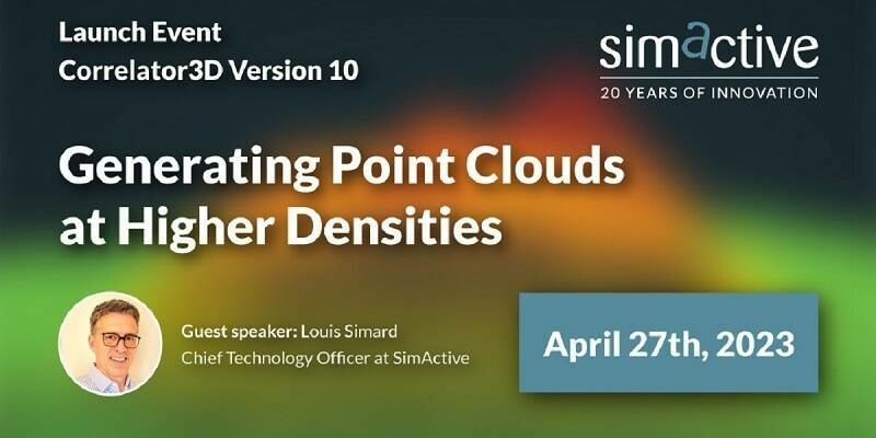
16th April 2023
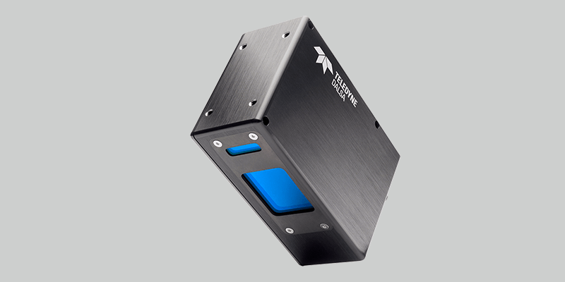
Teledyne introduces 4K 3D laser line profile sensor family for in-line measurement
16th April 2023
Outsight appoints Werner Filez as new Smart Infrastructure Sales Director, EMEA
28th March 2023
How Chip Design Systems Pushes FLIR Cameras Capabilities with their IR Projectors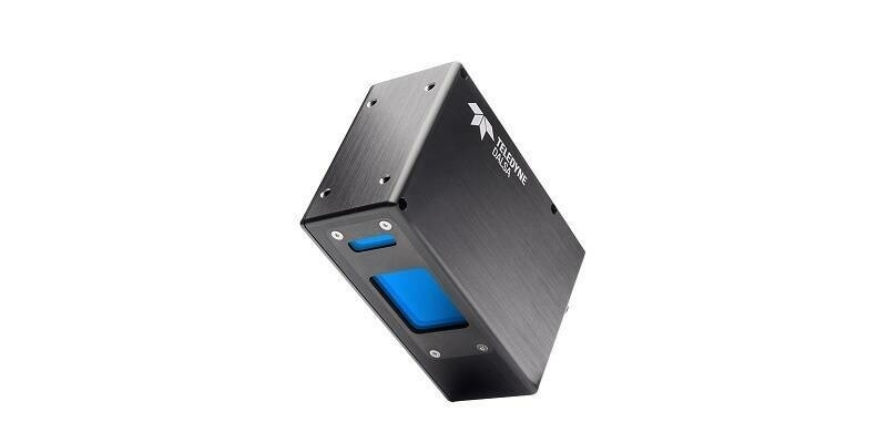
7th March 2023
Teledyne introduces 4K 3D laser line profile sensor family for in-line measurement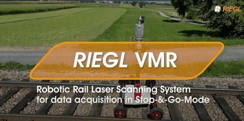
6th March 2023
NEW YOUTUBE VIDEO: RIEGL VMR Robotic Rail Laser Scanning System for data acquisition in Stop-&-Go-Mode
2nd March 2023
RIEGL Ultimate LiDAR Webinar Series: March 2023


1st March 2023
Bluesky Geospatial Launches Metrovista 3D Aerial Mapping Program in U.S.
1st March 2023
Mosaic Announces Integration of High Resolution 360º Camera With Laser Scanning Solutions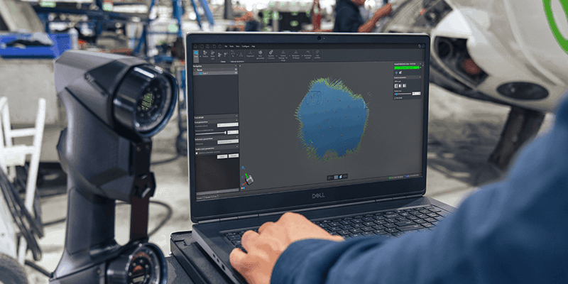
1st March 2023
The New VXintegrity Software Platform: Surface Damage Assessment Modernized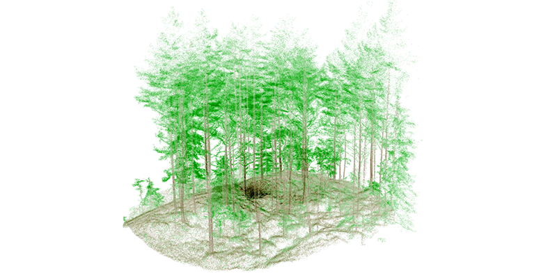
1st March 2023
Mobile LIDAR’s Role in Bringing ‘Industry 4.0’ to Norwegian Forestry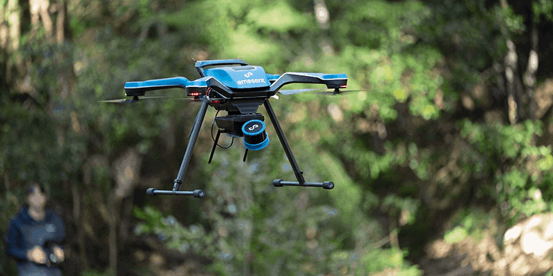
1st March 2023
Emesent Launched Three Time Saving Products for Geospatial Professionals
1st March 2023
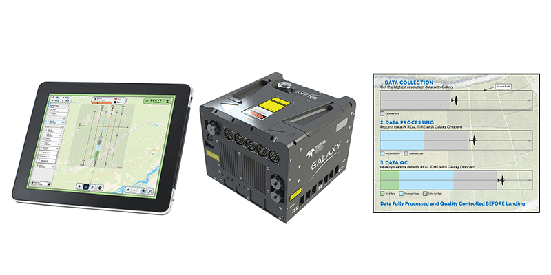
Teledyne Geospatial revolutionizes airborne lidar ROI with Galaxy Onboard: a real-time workflow solution
1st March 2023
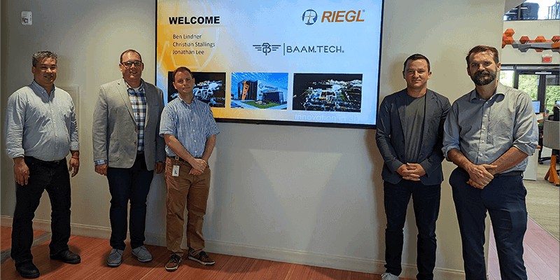
BAAM.Tech Named North American Distribution Partner for RIEGL USA Mobile Laser Scanning Solutions27th February 2023
Mosaic X camera systems added to greehill’s RIEGL mobile LiDAR system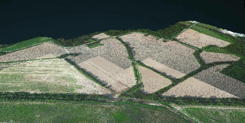
22nd February 2023
SimActive Software Used to Colorize Lidar13th February 2023
Teledyne Geospatial revolutionizes airborne lidar ROI with Galaxy Onboard: a real-time workflow solution
2nd February 2023
Digital revolution inspires new research direction in ecosystem structural diversity2nd February 2023
BAAM.Tech Named North American Distribution Partner for RIEGL USA Mobile Laser Scanning Solutions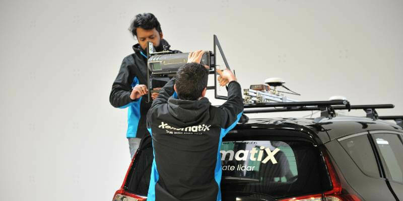
1st February 2023
XenomatiX introduces a dual lane system at Geo Week 202324th January 2023
Teledyne Geospatial to exhibit and present at Geo Week 2023
16th January 2023
Laser Scanning Reveals Potential Underestimation of Biomass Carbon in Temperate Forest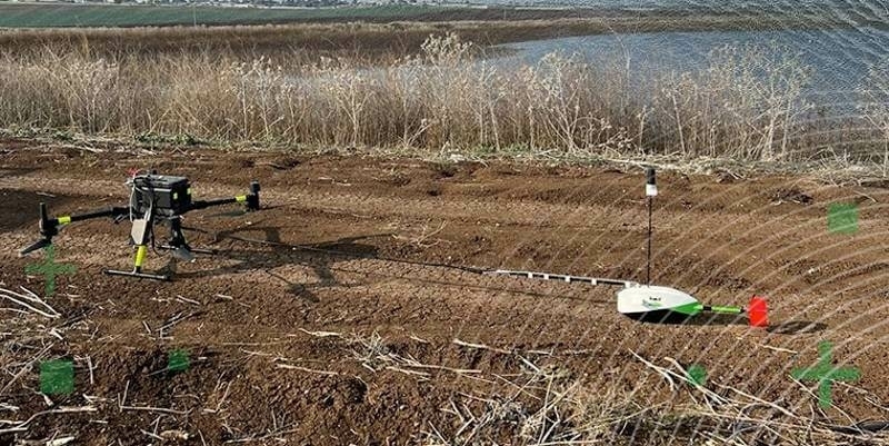
16th January 2023
TOPODRONE synchronized LiDAR and bathymetric surveying methods to study a floating solar farm in Israel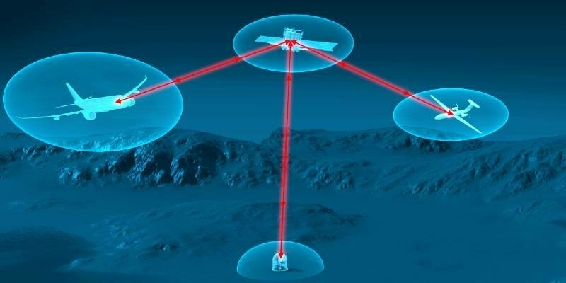
12th January 2023
Airbus and VDL Group join forces to produce an airborne laser communication terminal
4th January 2023
BAAM.Tech Named North American Software Distributor and Technical Support Partner for Terrasolid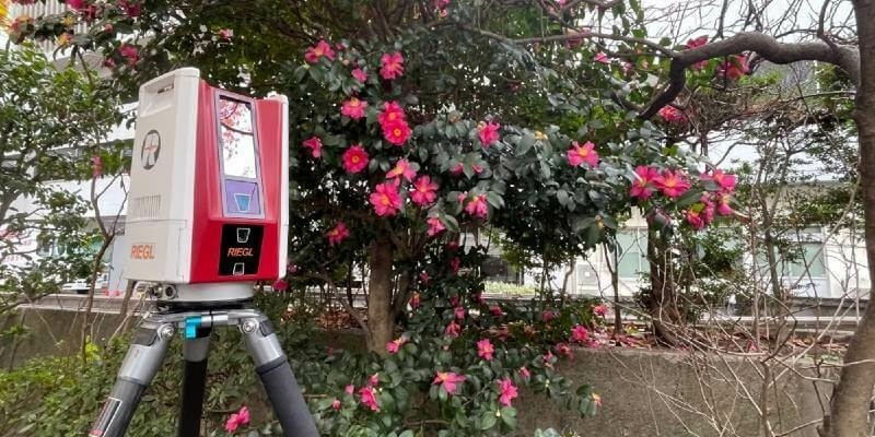
29th December 2022
RIEGL Japan Introduces the Lightweight and Extremely Fast Terrestrial Laser Scanner the RIEGL VZ-600i
7th December 2022
Coastal concerns: how data can help us understand the pressure of climate change
29th November 2022
RiPROCESS version 1.9.3 is available now
28th November 2022
ArcGIS now hosts Road LiDAR data for public and private road management