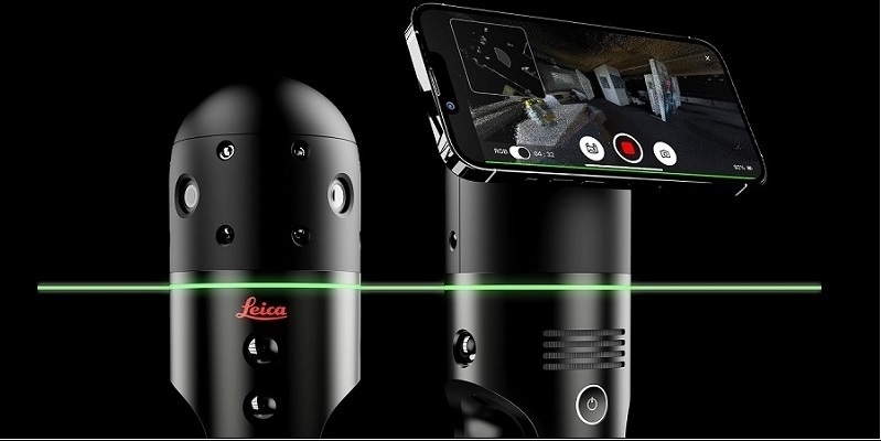
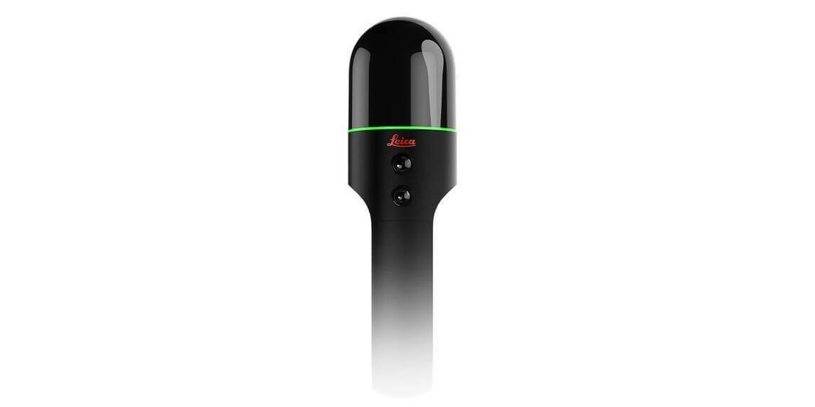
Leica Geosystems brings Leica BLK2GO PULSE to market for intuitive mobile laser scanning
10th October 2023
Leica Geosystems brings Leica BLK2GO PULSE to market for intuitive mobile laser scanningTerrestrial and airborne laser (LiDAR) scanners for the collection of 3D point cloud data; software for processing and visualising point clouds and creating 3D models, and use cases for laser scanning
This topic covers the science, the hardware, and the software used to capture, process and apply 3D point cloud data. As well as airborne and terrestrial (tripod-based, vehicle-mounted and handheld) laser (LiDAR) scanners, the topic includes the proprietary and Open Source software employed to process point clouds and create 3D models. It also covers the many and varied uses for 3D laser scanning: topographic mapping, bathymetric mapping, utility mapping, engineering surveying, agriculture, forestry, geology, architecture, industrial facilities, cultural heritage, asset management and construction, collision avoidance in autonomous and semi-autonomous vehicles, and environmental modelling
10th October 2023
Leica Geosystems brings Leica BLK2GO PULSE to market for intuitive mobile laser scanning
9th October 2023
Portable LiDAR scanner helps reveal undiscovered rooms in Sahura’s Pyramid
2nd October 2023
Intergeo Innovations Award 2023: Vote For The Ultimate Terrestrial Laser Scanner, Riegl VZ-600i
12th September 2023
XenomatiX extends its road scanning capabilities
11th September 2023
‘First-of-its-kind’ mobile 3D mapping system will scan 2 million data points a second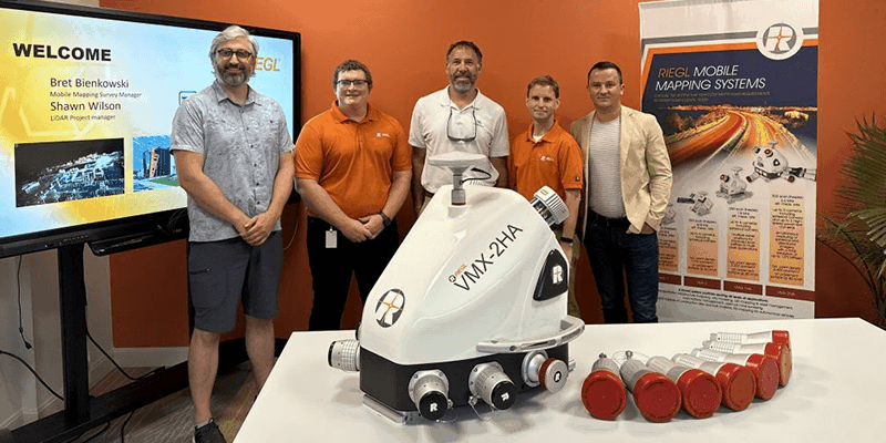
11th September 2023
Tetra Tech Expands Their RIEGL Mobile LiDAR Fleet
11th September 2023
FARO Technologies Appoints Peter Lau as President and Chief Executive Officer
11th September 2023
GeoCue Unveils Three New, High-End, Trueview 3D Imaging Systems
11th September 2023
Demonstrations Of The Riegl VZ-600i in Taipei and Hong Kong
4th September 2023
Hexagon reaches new heights with launch of BLK2FLY Autonomous Indoor Scanning
4th September 2023
LAKE FUSION Technologies and Innovusion Europe Partner for the Launch of a Cutting-Edge Situational Awareness System for Civilian Helicopters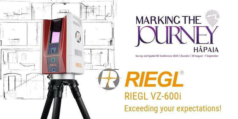
29th August 2023
RIEGL Australia Appoints Synergy Positioning Systems as a Terrestrial LiDAR Distributor in New Zealand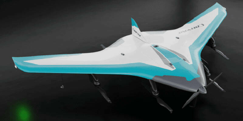
28th August 2023
A Remarkable Duo: The RIEGL VUX-120-23 Laser Scanner Meets the VTOL CarryAir
18th August 2023
SurvTech Solutions Completes Their Geospatial Portfolio with RIEGL VPX-1 Helicopter Pod
8th August 2023
Roman road network spanning the south west UK identified in new research
2nd August 2023
The Yurok Tribe and Condor Aviation Soaring to New Heights with RIEGL
28th July 2023
Streamlining a nuclear power plant construction project


28th July 2023
Leica Geosystems introduces the next evolution in smart, autonomous mobile mapping
28th July 2023
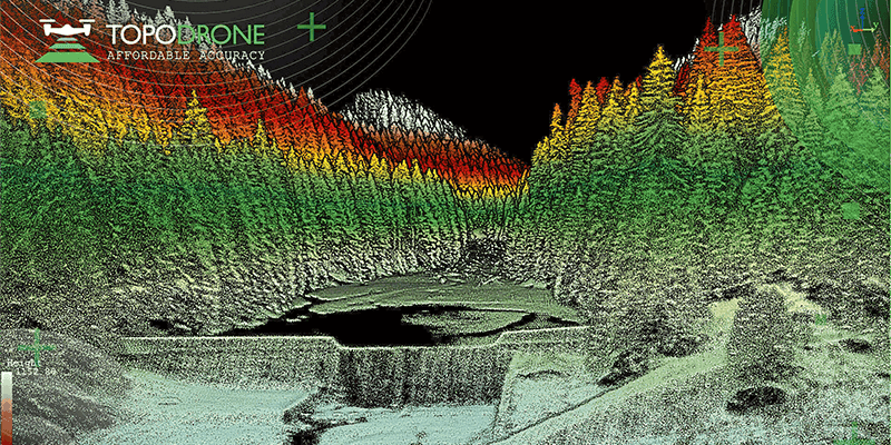
Topodrone to unveil a new lightweight 360° LiDAR model range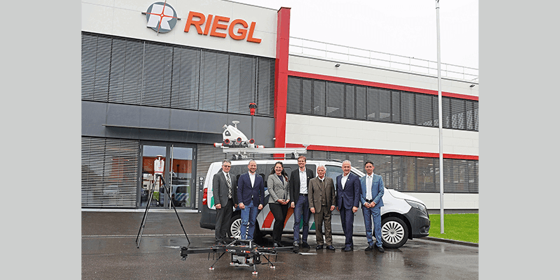
28th July 2023
Riegl LiDAR Technology for the Digital Twin Lab of Joanneum Research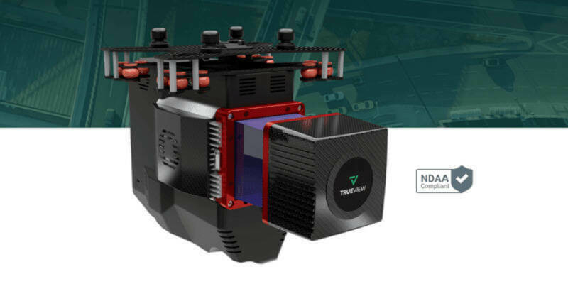
27th July 2023
GeoCue Unveils Three New, High-End, TrueView 3D Imaging Systems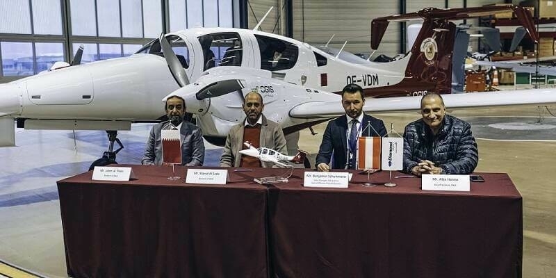
24th July 2023
Diamond Aircraft Delivers the First DA62 MPP with RIEGL Airborne LiDAR to the Centre for GIS in the State of Qatar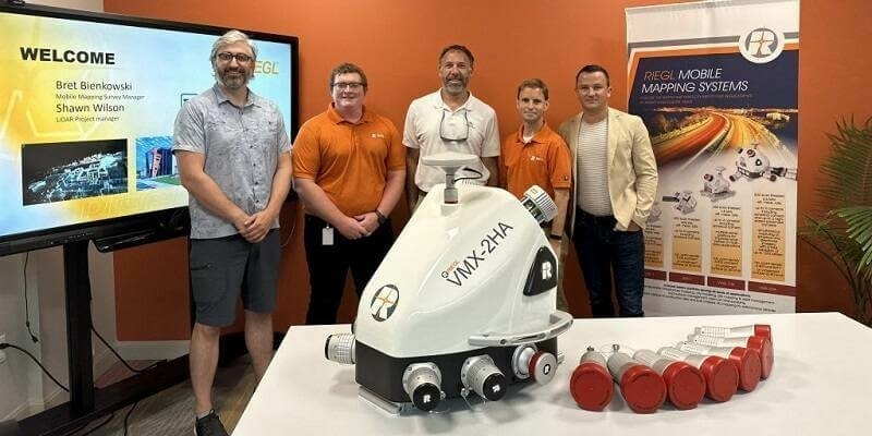
20th July 2023
Tetra Tech Expands Their RIEGL Mobile LiDAR Fleet as their new VMX-2HA Increases Their Reach on the West Coast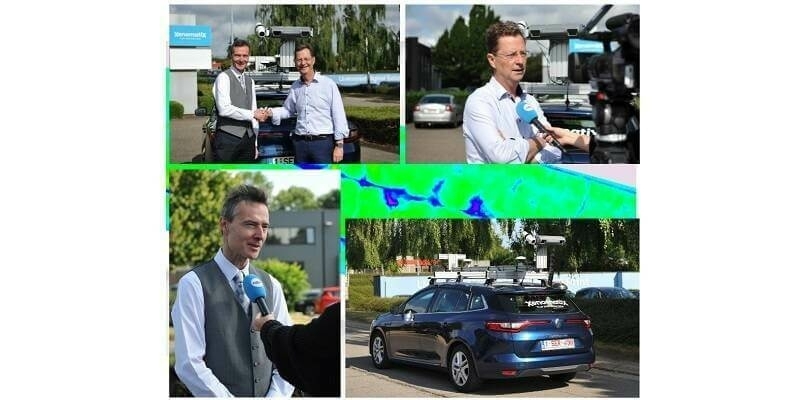
18th July 2023
Leuven, The Capital City Of Innovation Scans Its Road To Enhance Road Safety
5th July 2023
FARO Technologies Appoints Peter Lau as President and Chief Executive Officer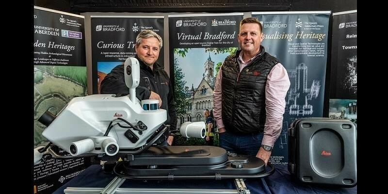
29th June 2023
‘First-of-its-kind’ mobile 3D mapping system will scan 2 million data points a second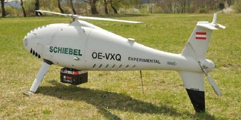
20th June 2023
Successful Integration of the RIEGL VQ-840-G Topo-Bathymetric Laser Scanner into the Schiebel CAMCOPTER S-100 UAS
19th June 2023
Outsight partners with Indra to accelerate the deployment of 3D LiDAR solutions in smart transport infrastructures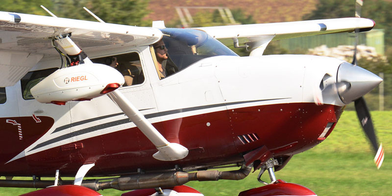
15th June 2023
Hexagon partners with Sony Semiconductor Solutions to enhance reality capture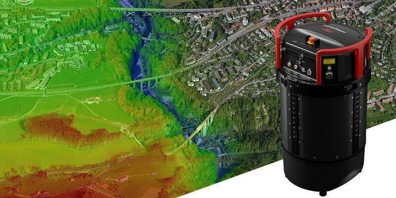
14th June 2023
Leica Geosystems introduces Leica CountryMapper, the world’s first hybrid imaging & LiDAR sensor for large-area airborne mapping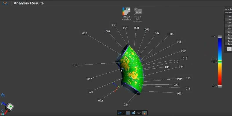
14th June 2023
Creaform launches latest version of VXintegrity
9th June 2023
RIEGL LiDAR Technology for the Digital Twin Lab of JOANNEUM RESEARCH
5th June 2023
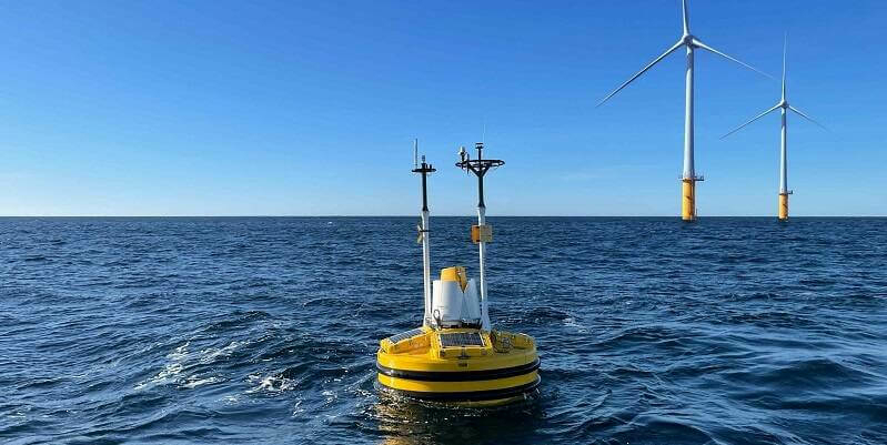
Fugro to deploy SEAWATCH Wind Lidar Buoys to support Denmark’s 2030 offshore wind target
4th June 2023
China monitors mountain glacier health with remote sensing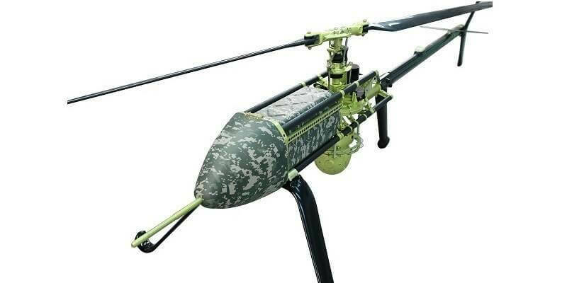
26th May 2023
UAVOS And Bayanat Enter Partnership For The Supply of Autonomous Helicopters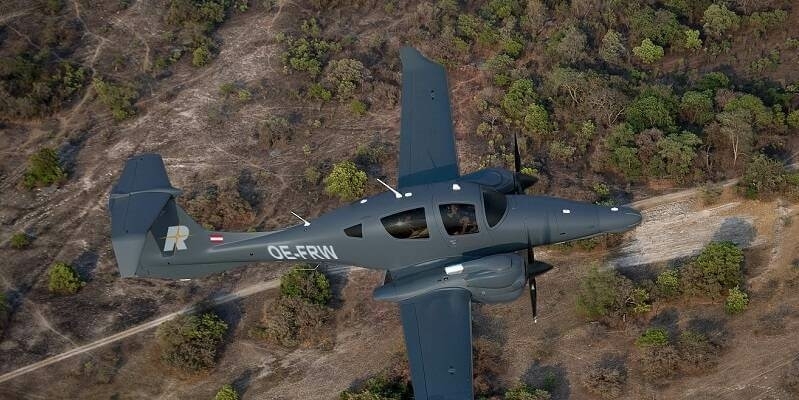
26th May 2023
RIEGL expands Test Aircraft Fleet with a new DA62 SurveyStar
25th May 2023
Riegl USA Awarded At Aia Orlando Design Awards Gala
18th May 2023
Just how far does scanning technology get you?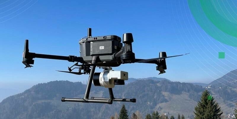
9th May 2023
TOPODRONE to unveil a new lightweight 360° LiDAR model range
3rd May 2023
Leica Geosystems introduces the next evolution in smart, autonomous mobile mapping
2nd May 2023
The RIEGL Newsroom Eyes to the sky for RIEGL’s fleet of UAV-based LiDAR sensors at AUVSI XPONENTIAL 202328th April 2023
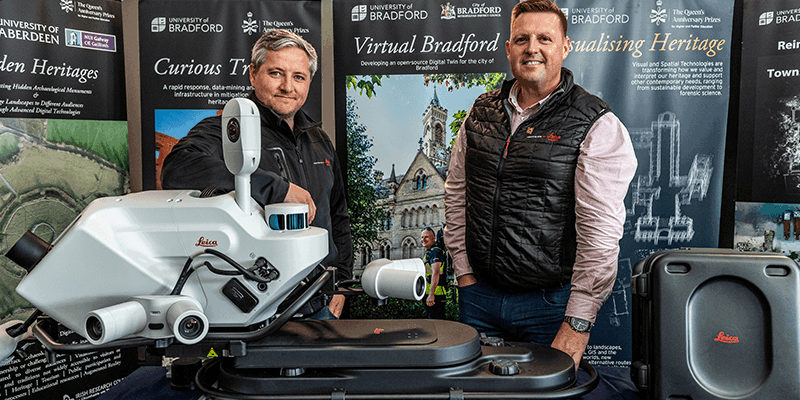
Successful all along the line: RIEGL VZ-600i Preview Events in the UK