
YellowScan LiDAR for Drone 2016: User Conference
30th May 2016
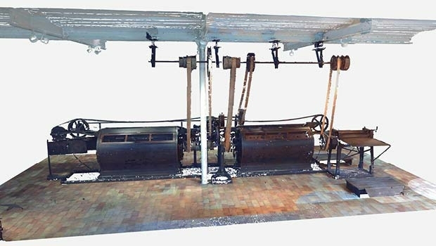
YellowScan LiDAR for Drone 2016: User ConferenceTerrestrial and airborne laser (LiDAR) scanners for the collection of 3D point cloud data; software for processing and visualising point clouds and creating 3D models, and use cases for laser scanning
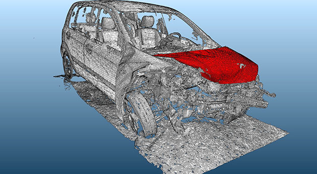
This topic covers the science, the hardware, and the software used to capture, process and apply 3D point cloud data. As well as airborne and terrestrial (tripod-based, vehicle-mounted and handheld) laser (LiDAR) scanners, the topic includes the proprietary and Open Source software employed to process point clouds and create 3D models. It also covers the many and varied uses for 3D laser scanning: topographic mapping, bathymetric mapping, utility mapping, engineering surveying, agriculture, forestry, geology, architecture, industrial facilities, cultural heritage, asset management and construction, collision avoidance in autonomous and semi-autonomous vehicles, and environmental modelling
30th May 2016
YellowScan LiDAR for Drone 2016: User Conference
16th May 2016
LizardTech Launches Express Server 9.5 at GEOINT 2016 Symposium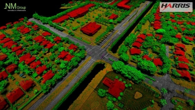
12th May 2016
NM Group collaborate with Harris Corporation
9th May 2016
Arithmetica Reveals Latest Tech at Museums and Heritage Show
5th May 2016
Aerial Mapping Company Bluesky Announces Expansion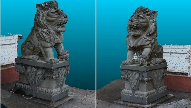
4th May 2016
eyesMap3D: The most accurate and powerful 3D photo modeling software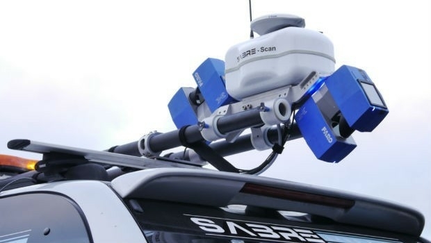
15th April 2016
Arithmetica reveals 360 imaging and 3D laser modeling tech at Forensics Europe
15th April 2016
Renishaw welcomes Measutronics Corporation to its distributor network13th April 2016
Leica Geosystems and Spheron-VR collaborate
6th April 2016
Arithmetica to Launch Pointfuse V2 at SPAR 3D 2016
4th April 2016
Orbit GT launches Mobile Mapping Feature Extraction Bundle1st April 2016
OGC and ASTM International to Jointly Develop Standards and More

21st January 2016
INTERGEO: supporting Hamburg’s Smart City quest


7th January 2016
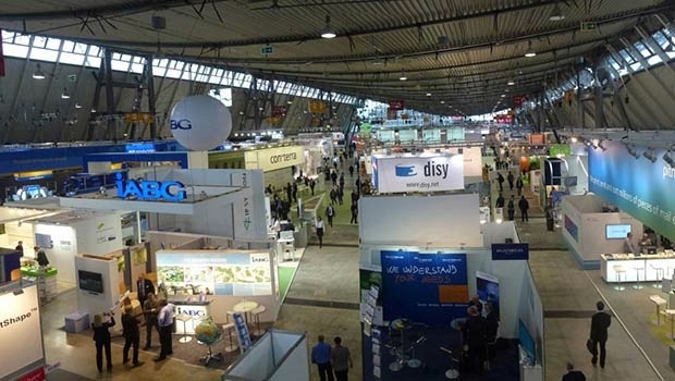
INTERGEO: the global hub for Geo business
28th October 2015
INTERGEO 2015 Review - Going global. Going great!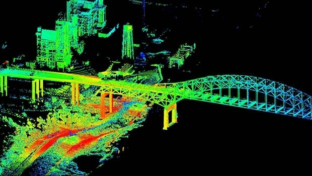


10th October 2014
Cutting costs in aerial surveying by combining LiDAR and hyperspectral imaging
