
Advanced LiDAR Technology for Sustainable Development and Environmental Stewardship
26th August 2024
Advanced LiDAR Technology for Sustainable Development and Environmental StewardshipTerrestrial and airborne laser (LiDAR) scanners for the collection of 3D point cloud data; software for processing and visualising point clouds and creating 3D models, and use cases for laser scanning
This topic covers the science, the hardware, and the software used to capture, process and apply 3D point cloud data. As well as airborne and terrestrial (tripod-based, vehicle-mounted and handheld) laser (LiDAR) scanners, the topic includes the proprietary and Open Source software employed to process point clouds and create 3D models. It also covers the many and varied uses for 3D laser scanning: topographic mapping, bathymetric mapping, utility mapping, engineering surveying, agriculture, forestry, geology, architecture, industrial facilities, cultural heritage, asset management and construction, collision avoidance in autonomous and semi-autonomous vehicles, and environmental modelling
26th August 2024
Advanced LiDAR Technology for Sustainable Development and Environmental Stewardship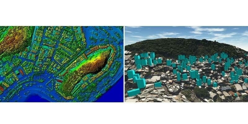
31st July 2024
Topocart maps Brazil’s expanding cities using Teledyne Galaxy PRIME+
16th July 2024
Riegl Is Exhibiting At The 2024 Esri User Conference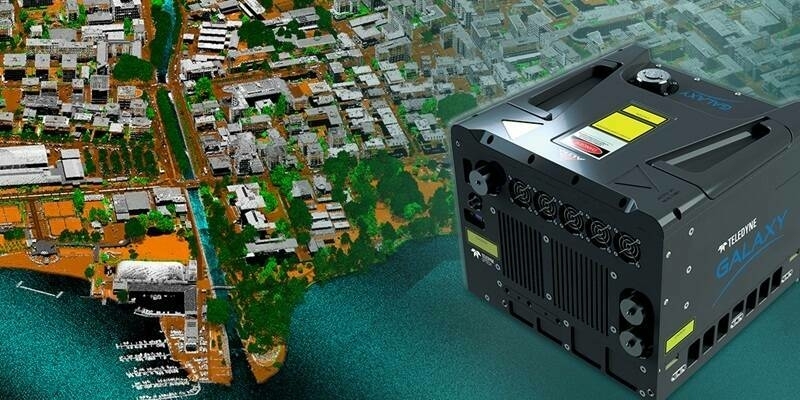
12th July 2024
Teledyne Geospatial unveils super resolution airborne lidar with edge computing
10th July 2024
Teledyne’s high-speed, high-resolution Contact Image Sensors are now available in color
28th June 2024
Innoviz Technologies and Major OEM Collaborate on New Short-Range LiDAR for L4 Autonomous Vehicles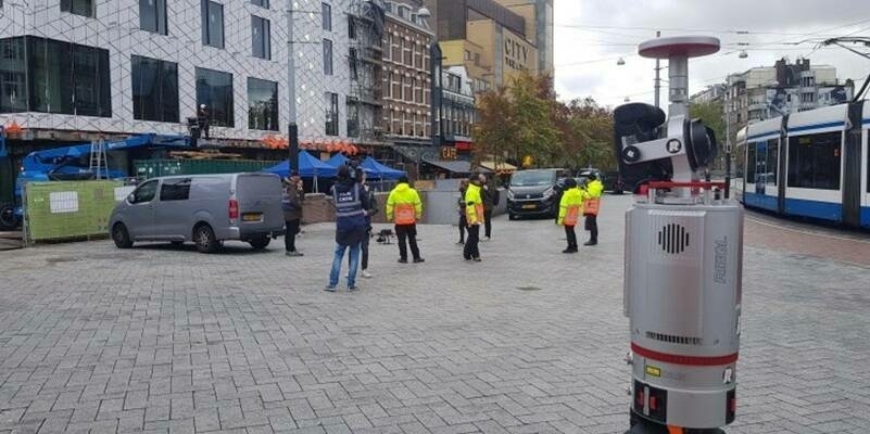
26th June 2024
Lights, Camera, Action: Leap3D and the RIEGL VZ-400i for the Visual Effects (VFX) Industry
19th June 2024
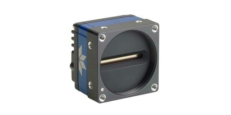
Teledyne’s new 8k super resolution GigE Vision line scan camera is in production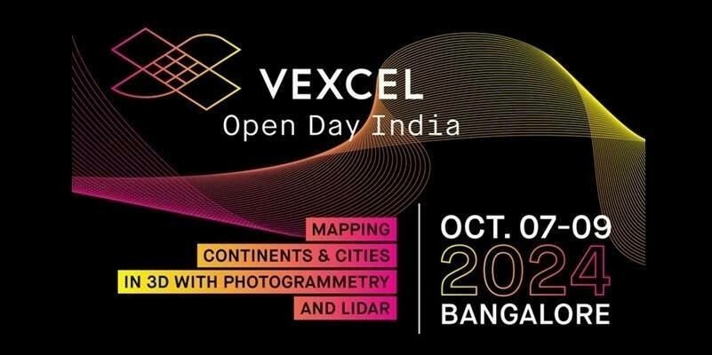
13th June 2024
Vexcel Open Day India: Mapping Continents & Cities in 3D with Photogrammetry and LiDAR

24th April 2024
RIEGL Webinar Announcement: An Amazing LiDAR Expedition to Alcatraz – Through the Eyes of RIEGL Technology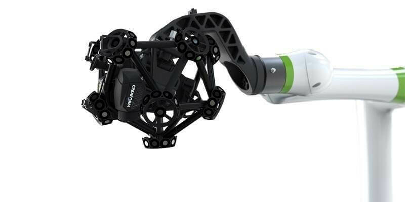
17th April 2024
Creaform Is Making Automated Quality Control Accessible with a New, Versatile and Intuitive Hybrid Solution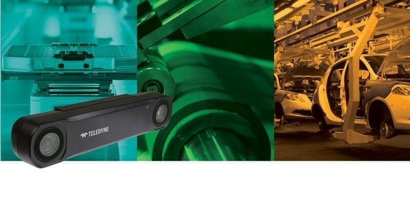
17th April 2024
Teledyne FLIR IIS announces a new stereo vision product for high accuracy robotics applications
16th April 2024
From tape measures to space lasers: Quantifying biomass of the world's tallest forests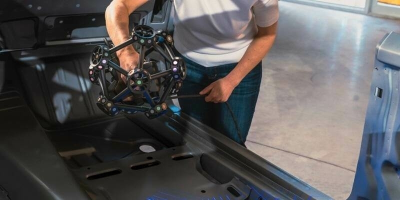
10th April 2024
Creaform introduces the MetraSCAN BLACK+ and MetraSCAN BLACK+|Elite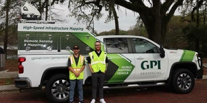
3rd April 2024
GPI Geospatial Enhancing Mobile Mapping with RIEGL LiDAR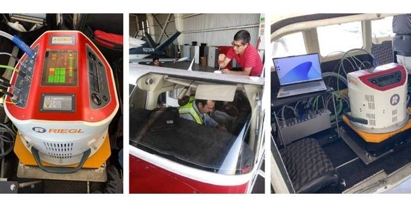
19th March 2024
CartoData Receives the First North American Delivery of a RIEGL VQ-1460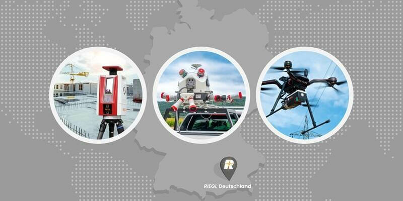
18th March 2024
RIEGL Announces the Opening of a New International Office in Munich, Germany
14th March 2024
Unveiling understory saplings with advanced airborne LiDAR technology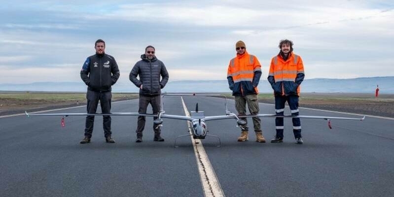
11th March 2024
Carbonix, RIEGL, Phase One announce first fixed-wing VTOL integration of long-range dual sensor System
1st March 2024
Leica Geosystems unveils Leica TerrainMapper-3, the all-in-one sensor for versatile airborne LiDAR mapping
1st March 2024
Teledyne Geospatial to bring new Optech hardware and CARIS software solutions to Oceanology International 2024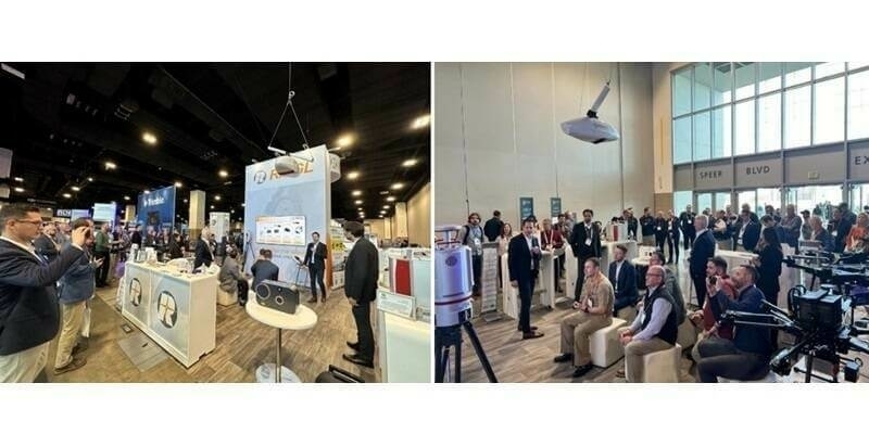
23rd February 2024
Reaching New Depths: New RIEGL Laser Scanning Solutions for Bathymetric Data Acquisition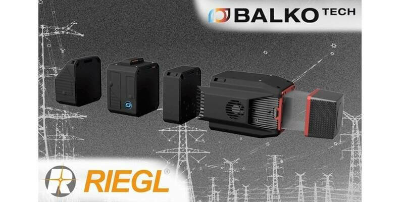
12th February 2024
Balko & RIEGL Announce OEM Partnership for UAS LiDAR in Canada

6th February 2024
RIEGL Exhibiting Once Again at Geo Week 2024 in the Mile High City
2nd February 2024
High-tech aerial mapping reveals England’s hedgerow landscape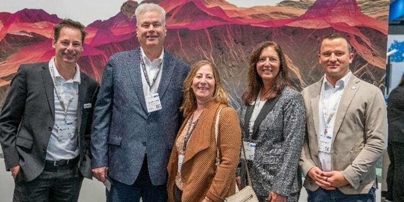
30th January 2024
ClearSkies Geomatics Adds New RIEGL VQ-1560 II-S to Support 2024 Expansion Plans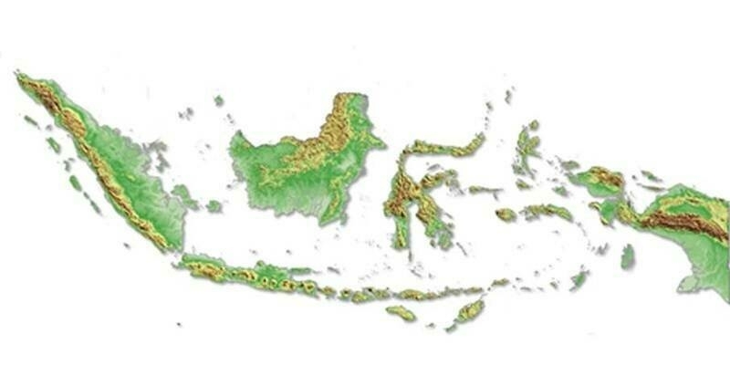
25th January 2024
Intermap Wins Major Indonesian Mapping Contract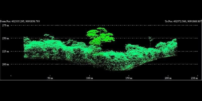
18th January 2024
Fototerra expands its fleet of airborne lidar mappers with an additional Optech Galaxy system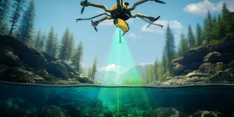
17th January 2024
Introducing the YellowScan Navigator: a groundbreaking bathymetric LiDAR System dedicated to coastal and river mapping from drones
10th January 2024
Outsight partners with PreAct Technologies to revolutionize smart infrastructure and people flow monitoring
8th January 2024
RIEGL USA Will Be Attending CES and the GeoBuiz Summit
22nd December 2023
Innovusion Becomes Seyond: "See smarter" as a clear vision for the future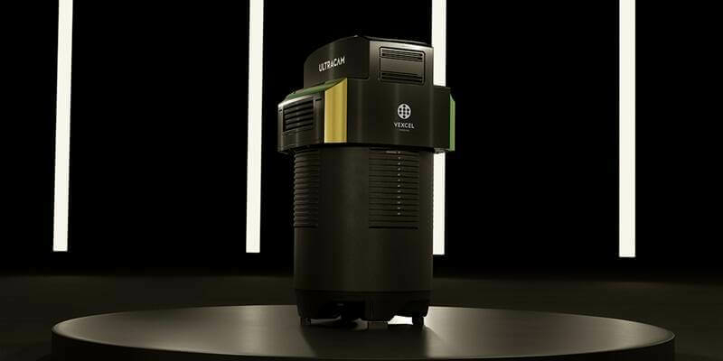
5th December 2023
Vexcel Imaging announces the new UltraCam Dragon 4.1, a game-changing hybrid oblique imaging and LiDAR system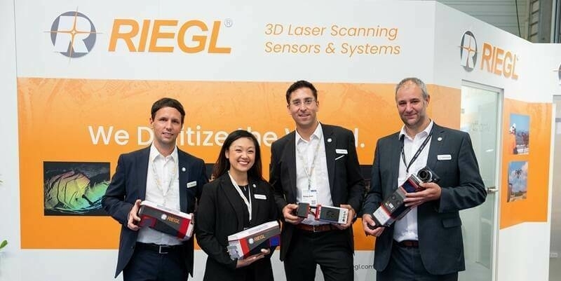
30th November 2023
New RIEGL Laser Scanning Solutions for UAV-based Data Acquisition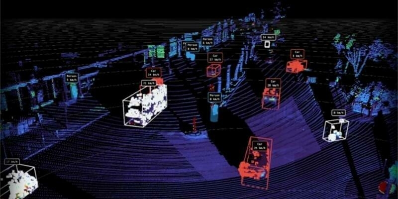
29th November 2023
New Partnership Agreement Between Outsight And Innovusion To Accelerate Lidar Technology’s Adoption In The ITS Market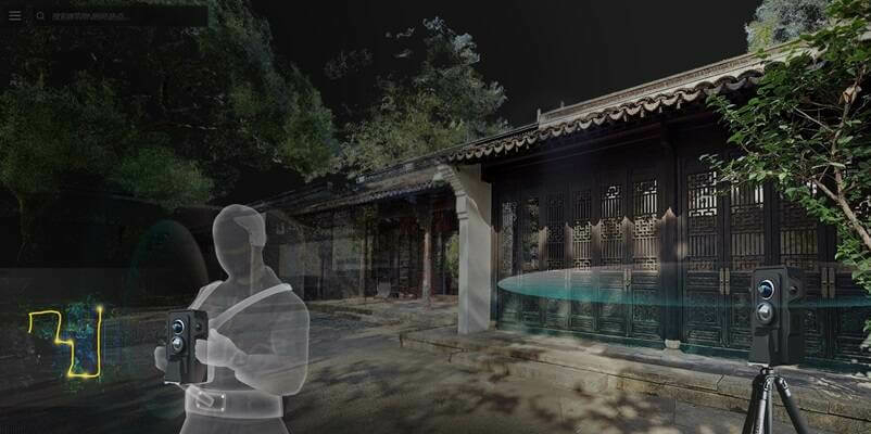
20th November 2023
4DAGE Unveils Its New Laser Scanner With Unique Dual Acquisition Mode Of Terrestrial Laser Scanner And SLAM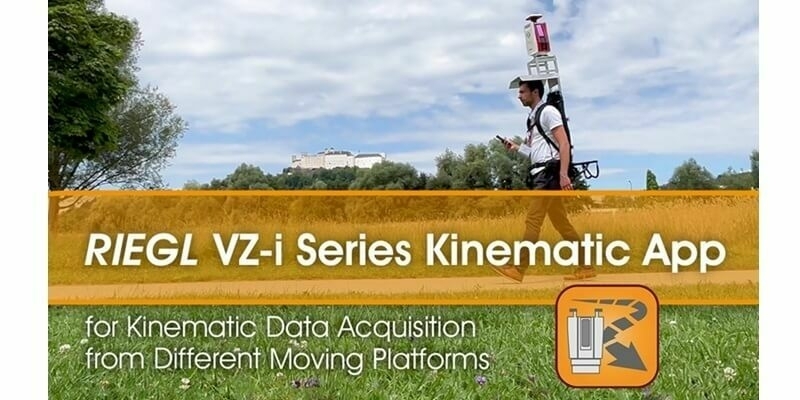
8th November 2023
Kinematic Data Acquisition from Different Moving Platforms: Watch the RIEGL VZ-i Series Video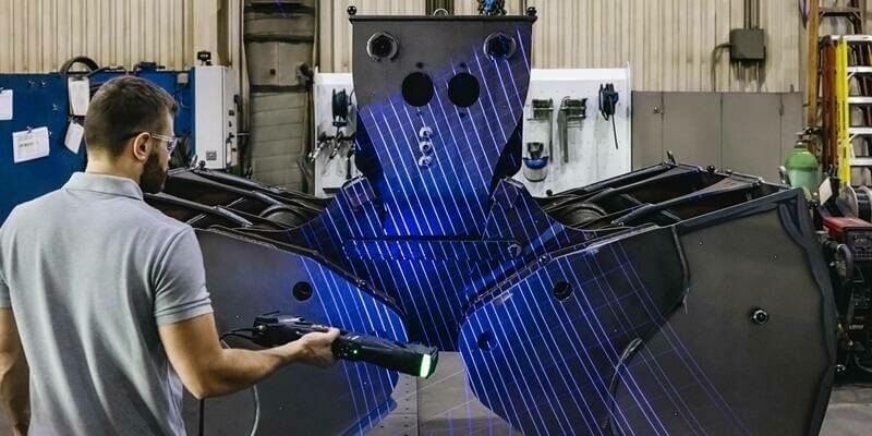
26th October 2023
Creaform Launches the New Truly Portable Metrology-Grade 3D Scanner for Large Parts HandySCAN 3D|MAX Series
20th October 2023
Geo Week Seeking Nominations for the 2024 Awards Celebration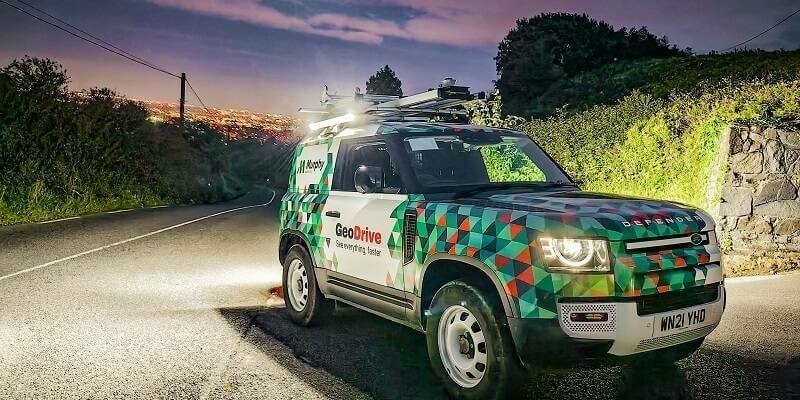
19th October 2023
Murphy Geospatial Launches Geodrive: A New Mobile Mapping Solution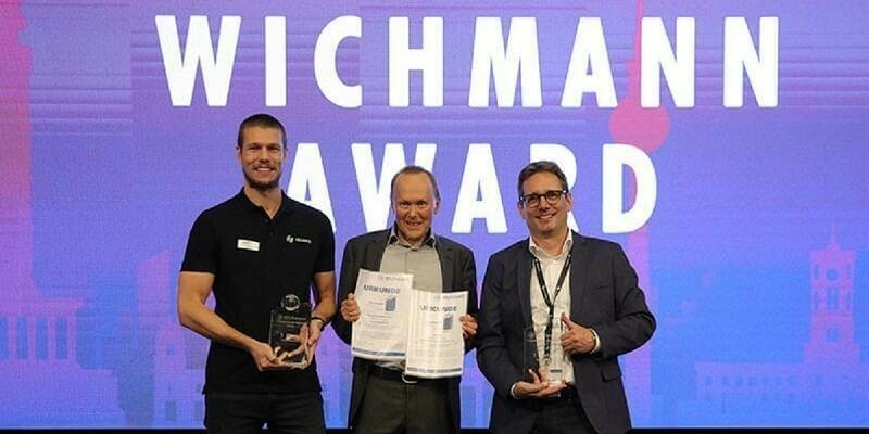
17th October 2023
Hexagon’s Geosystems division receives Wichmann Innovations Awards in both software and hardware category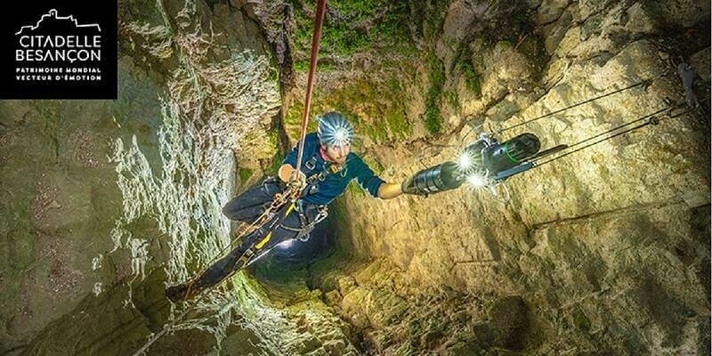
17th October 2023
Innovative reality capture technology brings 17th-century Citadelle de Besançon, France, to life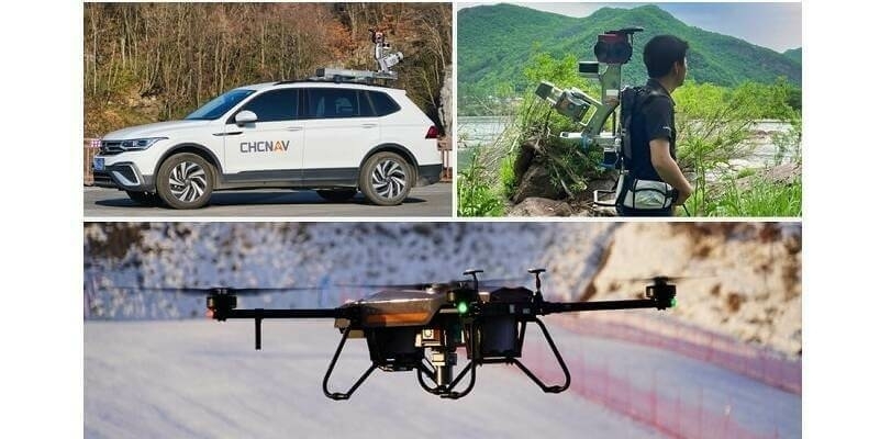
16th October 2023
CHC Navigation Introduces the AlphaUni 20 LiDAR System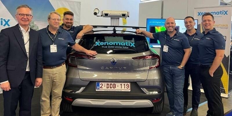
16th October 2023
StreetScan and XenomatiX Collaborate to Advance Road Inspection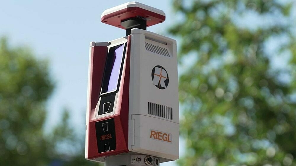
12th October 2023
RIEGL VZ-600i: High Speed Laser Scanning for Professionals