
Prototype for "native LAS 1.4 extension" of LASzip LiDAR Compressor Released
13th February 2017
Prototype for "native LAS 1.4 extension" of LASzip LiDAR Compressor ReleasedTerrestrial and airborne laser (LiDAR) scanners for the collection of 3D point cloud data; software for processing and visualising point clouds and creating 3D models, and use cases for laser scanning
This topic covers the science, the hardware, and the software used to capture, process and apply 3D point cloud data. As well as airborne and terrestrial (tripod-based, vehicle-mounted and handheld) laser (LiDAR) scanners, the topic includes the proprietary and Open Source software employed to process point clouds and create 3D models. It also covers the many and varied uses for 3D laser scanning: topographic mapping, bathymetric mapping, utility mapping, engineering surveying, agriculture, forestry, geology, architecture, industrial facilities, cultural heritage, asset management and construction, collision avoidance in autonomous and semi-autonomous vehicles, and environmental modelling
13th February 2017
Prototype for "native LAS 1.4 extension" of LASzip LiDAR Compressor Released9th February 2017
Blue Marble's Latest Innovations in the Global Mapper LiDAR Module
6th February 2017
Bluesky Appoints Strategic Development Manager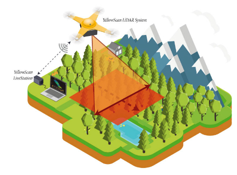
6th February 2017
YellowScan launches YellowScan LiveStation
31st January 2017
Blue Marble Teams Up with Pointerra to Provide Cloud-Based LiDAR Data

26th January 2017
Kullasoft release the Android version of the PGM Manager app
24th January 2017
Airport GIS | LiDAR, imagery and feature extraction for airport operations.jpg)
24th January 2017
Bluesky Announces 2017 Flying Plans for Ireland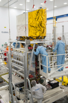
20th January 2017
Airbus ready to ship Aeolus for final testing ahead of launch
13th January 2017
ILMF 2017: Feb 13-15, Denver – Register by Jan 31 & save $17512th January 2017
International LiDAR Mapping Forum 2017 Keynotes Announced
10th January 2017
EarthSense Systems Gains from UK Space Agency Support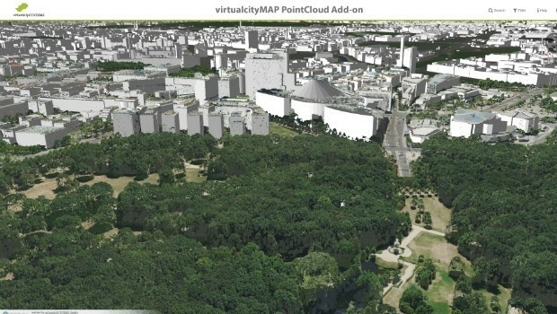
16th December 2016
virtualcitySYSTEMS simplifies handling of massive geodata14th December 2016
Lossless Compression of Harris Geiger-Mode LiDAR Data in GeoExpress30th November 2016
EarthSense Scientists Model Impact of Green Infrastructure on City Traffic Pollution11th November 2016
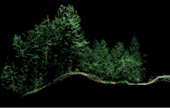
3D Laser Maps Reveal Devon's Hidden Archaeology27th October 2016
Global Mapper LiDAR Module v18 Now Available6th October 2016
Arithmetica’s Pointfuse V2 to Power Point Cloud Conversion in Arena4D5th October 2016
Central Alliance purchases first of its kind Mobile Mapping System4th October 2016
Find out if your project profit margins beat the industry average4th October 2016
Webinar: Manage Vegetation Encroachment and Utility Assets28th September 2016
Bluesky’s Aerial Thermal Surveys Helps Enfield Identify Illegal Dwellings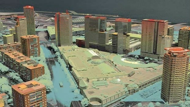
7th September 2016
StreetMapper helps to power growth for AAM in India7th September 2016
Bluesky Publishes First Online 3D Maps of Isle of Man
26th August 2016
Hi-Target Europe successfully launched new products in Czech18th August 2016
Laser scan coordinate system tools released in Maptek I-Site Studio
4th August 2016
Bluesky aerial laser maps reveal Battle of the Somme secrets for TV show2nd August 2016
AirGon LLC Revolutionizes Drone Data Extraction
28th July 2016
Bluesky Geospatial Joins Ireland’s Growing Geographic Information Industry
8th July 2016
Patrol+® a flying success with survey completed for National Grid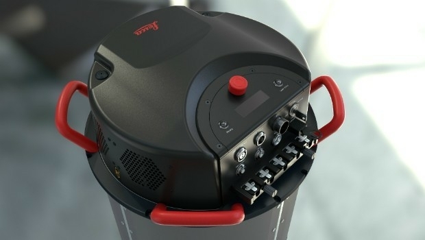
5th July 2016
Leica Geosystems announces world’s first fused airborne sensor
16th June 2016
Leica Geosystems expands LiDAR capabilities in ALS80 airborne sensor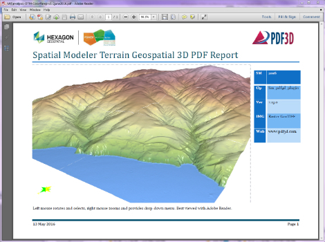
13th June 2016
PDF3D Releases 3D Geospatial PDF Plugin for ERDAS IMAGINE
9th June 2016
Bluesky’s 3D Laser Maps Inform BIM Projects
7th June 2016
Bluesky Appoints Dr Simon Schuffert to Lead Software Innovation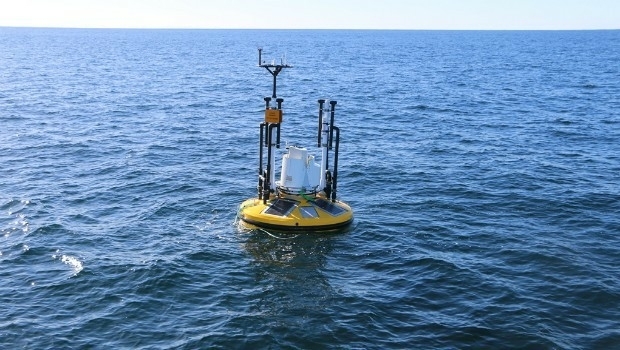
1st June 2016
Fugro to play Key Role in Norway's Coastal Highway Improvement Programme