3DUserNet Adds Point Cloud Clipbox and IFC and FBX Model Formats
25th January 2018
3DUserNet Adds Point Cloud Clipbox and IFC and FBX Model FormatsTerrestrial and airborne laser (LiDAR) scanners for the collection of 3D point cloud data; software for processing and visualising point clouds and creating 3D models, and use cases for laser scanning
This topic covers the science, the hardware, and the software used to capture, process and apply 3D point cloud data. As well as airborne and terrestrial (tripod-based, vehicle-mounted and handheld) laser (LiDAR) scanners, the topic includes the proprietary and Open Source software employed to process point clouds and create 3D models. It also covers the many and varied uses for 3D laser scanning: topographic mapping, bathymetric mapping, utility mapping, engineering surveying, agriculture, forestry, geology, architecture, industrial facilities, cultural heritage, asset management and construction, collision avoidance in autonomous and semi-autonomous vehicles, and environmental modelling
25th January 2018
3DUserNet Adds Point Cloud Clipbox and IFC and FBX Model Formats23rd January 2018
Bluesky Remote Sensing Data Improves Efficiency for WSP17th January 2018
PDF3D v2.15 Released with a host of New Features and Enhancements16th January 2018
Getmapping launches Mobile Mapping Survey Solutions to southern Africa11th January 2018
Bluesky LiDAR Helps Wiltshire Council Tackle Flooding Risk2nd January 2018
Orbit GT showcases Automated Pole and Bridge Clearance Detection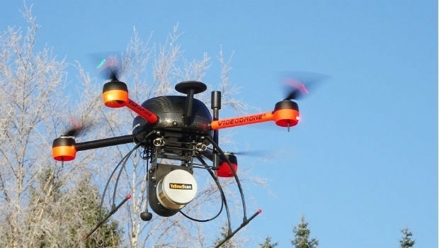
14th December 2017
Pointfuse Launch Point Cloud Software for DotProduct Scanners12th December 2017
ASCO-DAITO selects Siteco Pave-Scanner Pavement Mobile Mapping System29th November 2017
Global Mapper Available with Photogrammetric Point Cloud Generation29th November 2017
Scientific-grade GNSS with Real Time Kinematic Satellite Navigation23rd November 2017
3D Laser Mapping launches campaign to release open-source LiDAR data20th November 2017
Announcement EuroSDR 2018 series of e-learning17th November 2017
Global Mapper SDK Now Available on Amazon Web Services16th November 2017
GeoCue adds Puerto Rico LIDAR data to Support Hurricane Recovery15th November 2017
Orbit GT releases 3D Mapping Feature Extraction Standard v1814th November 2017
DotProduct partners with Assemble Systems
2nd November 2017
Bluesky LiDAR Data Used by RPS to Assess Flood Risk for Anglian Water26th October 2017
Tulloch Mapping Purchases the FIRST RIEGL VMX-2HA!23rd October 2017
Commercial UAV Expo Announces Highlights of Upcoming 2017 Event21st October 2017
Virtual Surveyor Unveils Productivity Tools at Commercial UAV Expo19th October 2017
Bluesky Apppoints Robert Carling and George Dey18th October 2017
Enhanced and Improved Functionalities for New Release of Global Mapper16th October 2017
Topcon launches three new technology updates for the built environment13th October 2017
Airborne LiDAR production fully integrated with Leica HxMap workflow9th October 2017
Bluesky Celebrates 21st Birthday with New Corporate HQ6th October 2017
Top honour in the Wichmann Innovations Award at INTERGEO 20175th October 2017
Commercial UAV Expo to include Workshops/Demos/Training2nd October 2017
LAStools Win Big at INTERGEO Taking Home Two Innovation Awards
28th September 2017
RIEGL announces significant product news at INTERGEO26th September 2017
Commercial UAV Expo Europe Moves to Amsterdam in April, 201826th September 2017
YellowScan & Quantum Systems partnership21st September 2017
LizardTech Awarded U.S. Patent for LiDAR Point Cloud Compression19th September 2017
GeoCue Group Provides Free Lidar Data For Hurricane Impact Areas19th September 2017
Pointfuse V3 Launch Offer Appeals to Twitter Users12th September 2017
Shaping a New 3D World with Portal for Point Clouds and 3D Models11th September 2017
Arithmetica Announces New Pointfuse License Options7th September 2017
Faster, More Expansive Carlson Point Cloud for 201826th August 2017
Terra Drone is to release Terra Mapper a new image processing software22nd August 2017
Atlas Dynamics to Launch Autonomous Professional Drone System21st August 2017
Pointfuse V3 Point Cloud Software Announced