SITECO announces full compatibility of Road-Scanner data with TopoDOT
15th September 2018
SITECO announces full compatibility of Road-Scanner data with TopoDOTTerrestrial and airborne laser (LiDAR) scanners for the collection of 3D point cloud data; software for processing and visualising point clouds and creating 3D models, and use cases for laser scanning
This topic covers the science, the hardware, and the software used to capture, process and apply 3D point cloud data. As well as airborne and terrestrial (tripod-based, vehicle-mounted and handheld) laser (LiDAR) scanners, the topic includes the proprietary and Open Source software employed to process point clouds and create 3D models. It also covers the many and varied uses for 3D laser scanning: topographic mapping, bathymetric mapping, utility mapping, engineering surveying, agriculture, forestry, geology, architecture, industrial facilities, cultural heritage, asset management and construction, collision avoidance in autonomous and semi-autonomous vehicles, and environmental modelling
15th September 2018
SITECO announces full compatibility of Road-Scanner data with TopoDOT13th September 2018
RIEGL to Attend and Exhibit at AREMA 2018!10th September 2018
Greenvalley International Launches New Premium Mobile Mapping Systems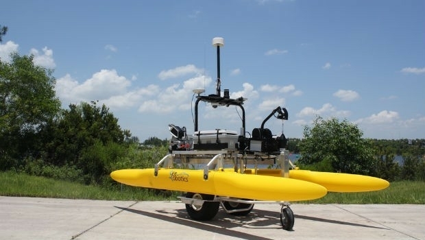
6th September 2018
SeaRobotics Delivers 3.6 Meter Collapsible ASV to USACE13th August 2018
Bluesky Captures Ultra High Resolution Aerial Images of Dublin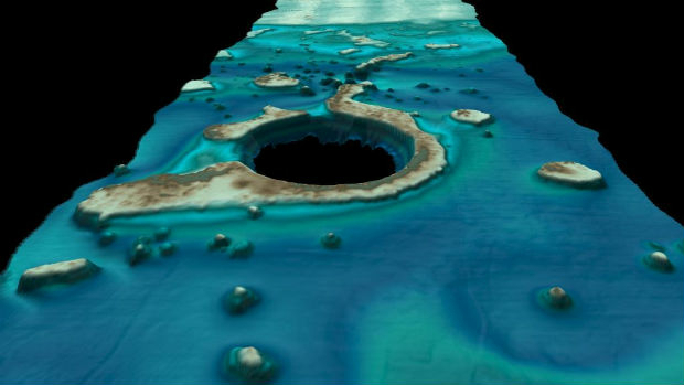
9th August 2018
Fugro’s New Ramms Technology Advances Bathymetric Lidar Mapping Capabilities1st August 2018
Bluesky Helps Malta Develop GeoSpatial Infrastructure31st July 2018
Skanska Speeds BIM Workflows with Pointfuse As-Built Models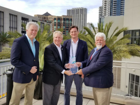

12th July 2018
Pointfuse Software Powers VR 'Preevues' for West End Shows28th June 2018
SamyoungPNT to Provide Applanix Products and Solutions
21st June 2018
YellowScan, UAV LiDAR specialist, opens YellowScan Inc. in Salt Lake City.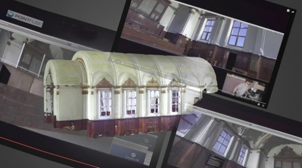
19th June 2018
Pointfuse Brings 3D Imaging Front of Stage for Theatrework15th June 2018
Hexagon introduces HxGN MineOperate UG Pro for Miners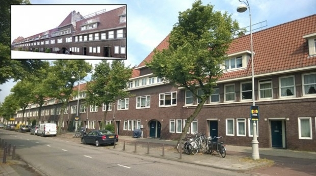
13th June 2018
Pointfuse 3D Models Boost Social Housing Management
12th June 2018
Headwall Integrates Hyperspectral and LiDAR Aboard UAV Platforms7th June 2018
NAKANIHON and RIEGL to Give Joint Presentation6th June 2018
Latest Webinar: Point Cloud Management Software for CAD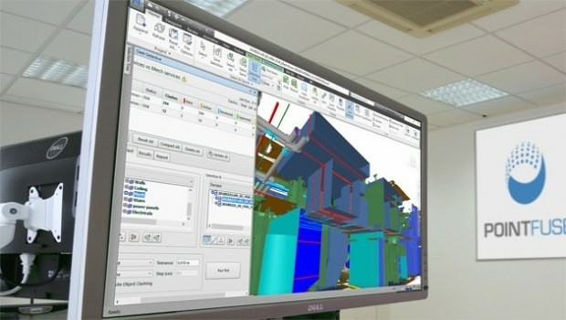
4th June 2018
Pointfuse Showcases New Software at SPAR 3D31st May 2018
Merrick Releases Version 2018 MARS® Software Suite
31st May 2018
Pointfuse Unlocks ‘As Built’ Data with Autodesk Integration
22nd May 2018
Skyline Software Systems Releases Photomesh™ 7.4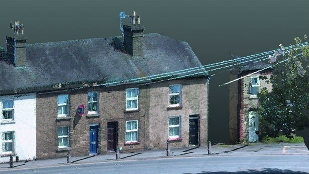
21st May 2018
KOREC invests in ‘New Generation’ Trimble MX9 Mobile Mapping System7th May 2018
GPI Geospatial Purchases RIEGL VQ-1560i Airborne LiDAR System!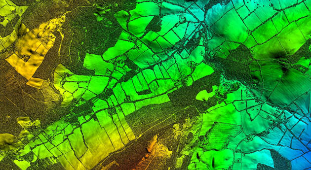
26th April 2018
Bluesky LiDAR Supports Major Irish Water Supply Project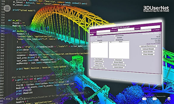
24th April 2018
3DUserNet announced today the release of their first generation API.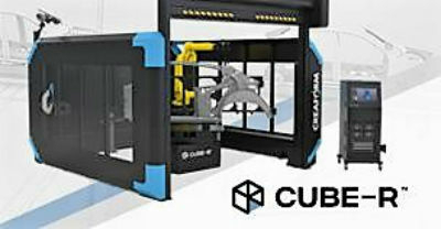
24th April 2018
Creaform and Metrologic Group announce Worldwide Partnership Agreement19th April 2018
New Indoor Mobile Mapping System from NavVis5th April 2018
1Spatial awarded contract by the European Union Satellite Centre
19th March 2018
SCTX 2018: technology for greater security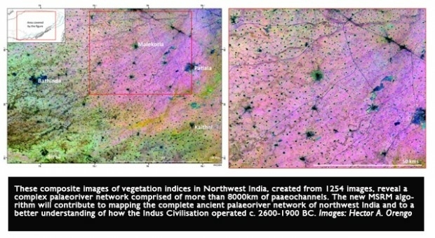
15th February 2018
Micro to macro mapping -- Observing past landscapes via remote-sensing13th February 2018
AirGon LLC Appointed North American Distributor for YellowScan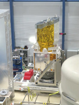
12th February 2018
Airbus-built Aeolus successfully passes all tests in Liège (Belgium)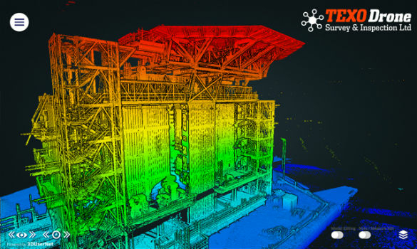
7th February 2018
3DUserNet To Power Texodrone Online 3D Data Platform7th February 2018
Teledyne Optech Titan lidar enables discovery of extended Mayan ruins6th February 2018
Category Winners Announced at the Inaugural LIDAR Leader Awards Ceremony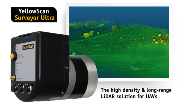
6th February 2018
YellowScan unveils its new UAV-LiDAR System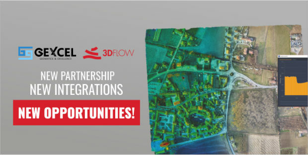
6th February 2018
A partnership to integrate LiDAR and Photogrammetric technologies6th February 2018
Announcement at the International LiDAR Mapping Forum Symposium
4th February 2018
Orbit GT releases major update of 3D Mapping Cloud
2nd February 2018
3D Laser Mapping releases real-time automated mine monitoring solutions2nd February 2018
Blue Marble to Showcase Global Mapper's Pixels-to-Points™ Tool.jpg)
2nd February 2018
3D at Depth Completes 300 Offshore LiDAR Metrologies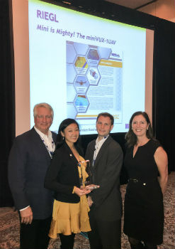
1st February 2018
RIEGL Wins a Prestigious MAPPS Geospatial Excellence Award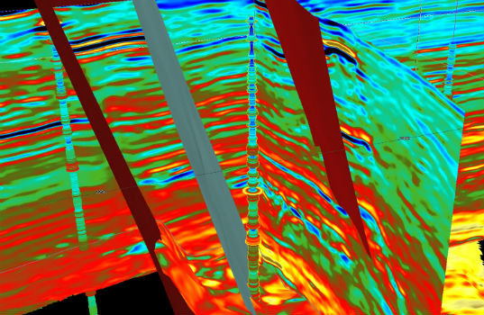
31st January 2018
CGG GeoSoftware Donates Jason Reservoir Characterization Software