
Bosch completes sensor portfolio for automated driving
3rd January 2020
Bosch completes sensor portfolio for automated drivingTerrestrial and airborne laser (LiDAR) scanners for the collection of 3D point cloud data; software for processing and visualising point clouds and creating 3D models, and use cases for laser scanning
This topic covers the science, the hardware, and the software used to capture, process and apply 3D point cloud data. As well as airborne and terrestrial (tripod-based, vehicle-mounted and handheld) laser (LiDAR) scanners, the topic includes the proprietary and Open Source software employed to process point clouds and create 3D models. It also covers the many and varied uses for 3D laser scanning: topographic mapping, bathymetric mapping, utility mapping, engineering surveying, agriculture, forestry, geology, architecture, industrial facilities, cultural heritage, asset management and construction, collision avoidance in autonomous and semi-autonomous vehicles, and environmental modelling
3rd January 2020
Bosch completes sensor portfolio for automated driving
11th December 2019
Bluesky Adds to International Aerial Archive with 2019 Flying Success
11th December 2019
Riegl introduces new integrated VP-1 Helicopter Pod with VUX-240 Airborne Scanner
10th December 2019
Trimble Clarity: Free Point Cloud Viewer
4th December 2019
RIEGL will be attending and exhibiting at AGU 2019
3rd December 2019
Getmapping partners with 3D Visualisation Technology Leaders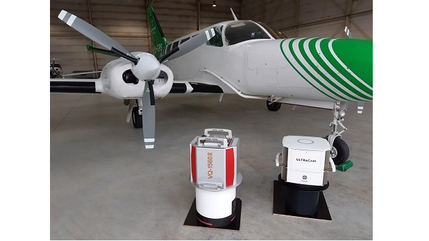
28th November 2019
EUROSENSE expands its mapping capabilities
28th November 2019
Bluesky Launches MetroVista 3D City Mapping Service in US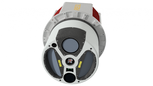
25th November 2019
RIEGL Introduces New LiDAR Instrument: The VQ-1560 II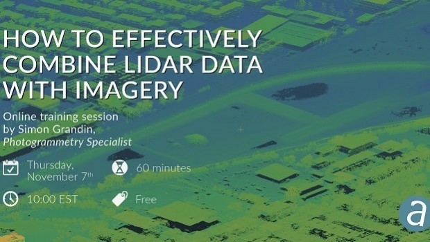
25th November 2019
How to Effectively Combine LiDAR Data with Imagery
21st November 2019
Pointfuse Launches Simple BIM Solution for Facilities Management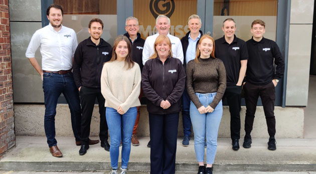
21st November 2019
MGISS Ranked Fourth in North West Tech 50
18th November 2019
Orbit GT and Getmapping Plc, UK, sign Reseller Agreement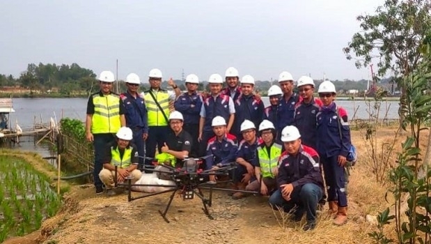
15th November 2019
Terra Drone Indonesia demonstrates Terra Lidar
14th November 2019
Hyperspectral Remote-Sensing Center in Europe
14th November 2019
Orbit GT and MaxOn Map, Brazil, sign Reseller Agreement
13th November 2019
RIEGL to attend and exhibit at Autodesk University 2019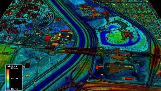
12th November 2019
USGS Releases New Lidar Base Specification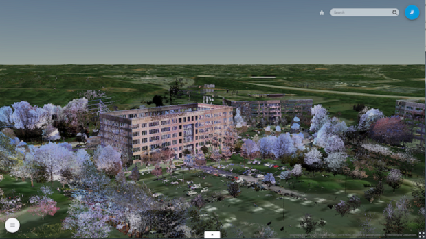
8th November 2019
Trimble Clarity Now Offered as Web Application for Point Clouds and 3D Models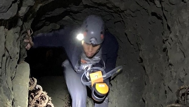
5th November 2019
Virginia Tech Uses GeoSLAM Mobile Scanner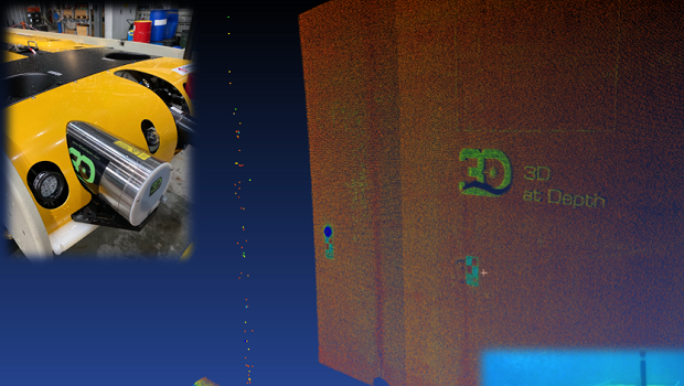
4th November 2019
3D at Depth Demonstrates Asset Integrity Solution for Life of Field Digital Twin Capability
30th October 2019
UAVOS Introduces UVH-25EL LiDAR Mapping UAV
29th October 2019
Routescene UAV LiDAR system used to reconstruct WWII concentration camp
29th October 2019
Riegl announces new Colombian Distributor
15th October 2019
Pointfuse New Scan 2 BIM Workflow at Digital Construction Week
15th October 2019
Bluesky Expands International Ops with New Production Centre
15th October 2019
Orbit GT and Viametris, France, sign Reseller Agreement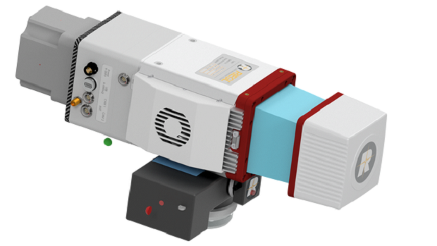
14th October 2019
Riegl welcomes the miniVUX-2UAV to the unmanned family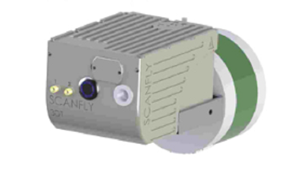
9th October 2019
SCANFLY HD2 increases the longitudinal resolution at higher speed
8th October 2019
Riegl to attend and exhibit at Americas Geospatial Forum 2019
7th October 2019
International SCADA SECURITY Conference, PRAGUE, Czech Republic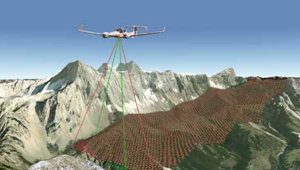
7th October 2019
First North American Customer for the new Riegl VQ-1560II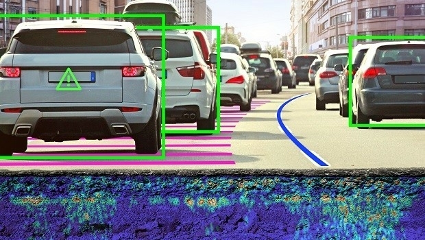
4th October 2019
Ground Penetrating Radar: The Unlikely New Hero of Autonomous Vehicles
3rd October 2019
Riegl announces VQ-780 II waveform processing airborne laser scanner
25th September 2019
Bluesky Appoints Jamieson to Drive Innovation in Aerial Mapping
24th September 2019
Intergeo 2019 Announcement: GeoSLAM's new addition to the ZEB family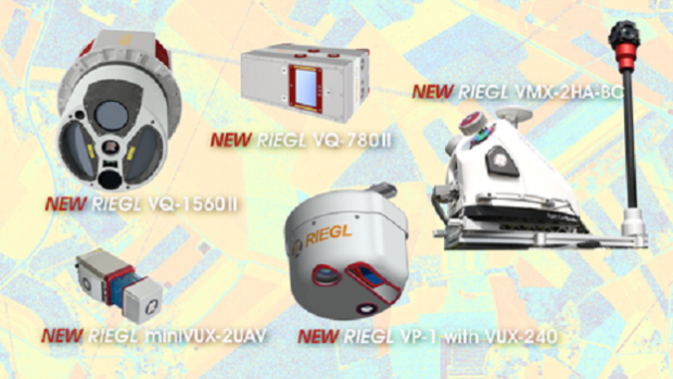

17th September 2019
Leica Geosystems announces major efficiency improvement to airborne urban mapping solution
16th September 2019
Bluesky Launches International MetroVista City Mapping Service at Intergeo
16th September 2019
Riegl VZ-400i used to detect deforestation in the Amazon rainforest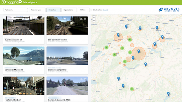
16th September 2019
Orbit GT launches Marketplace for 3D Mapping Content at INTERGEO, Stuttgart
11th September 2019
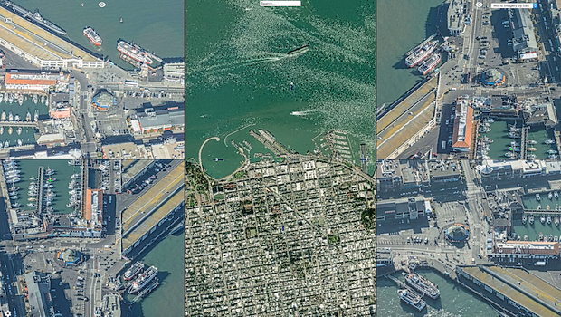
Another way to explore the world – Fly & Drive
9th September 2019
Orbit GT and eagle eye technologies, sign Reseller Agreement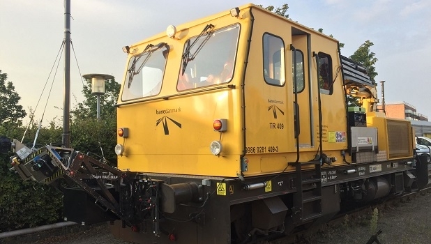
9th September 2019
Banedanmark chooses Fugro’s RILA system to survey the Danish rail network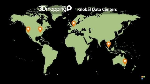
3rd September 2019
Orbit GT opens additional Data Center in western USA
2nd September 2019
G-Core Labs introduced a unique cloud object storage service integrated with CDN