
'How to Accurately Merge Imagery with LiDAR' Webinar
1st December 2020
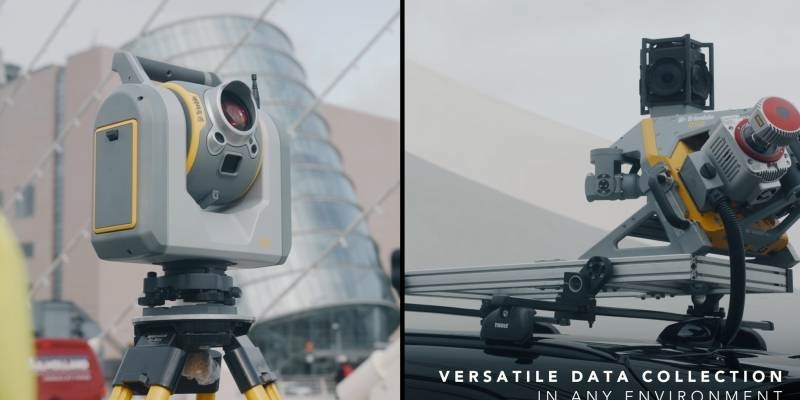
'How to Accurately Merge Imagery with LiDAR' WebinarTerrestrial and airborne laser (LiDAR) scanners for the collection of 3D point cloud data; software for processing and visualising point clouds and creating 3D models, and use cases for laser scanning
This topic covers the science, the hardware, and the software used to capture, process and apply 3D point cloud data. As well as airborne and terrestrial (tripod-based, vehicle-mounted and handheld) laser (LiDAR) scanners, the topic includes the proprietary and Open Source software employed to process point clouds and create 3D models. It also covers the many and varied uses for 3D laser scanning: topographic mapping, bathymetric mapping, utility mapping, engineering surveying, agriculture, forestry, geology, architecture, industrial facilities, cultural heritage, asset management and construction, collision avoidance in autonomous and semi-autonomous vehicles, and environmental modelling
1st December 2020
'How to Accurately Merge Imagery with LiDAR' Webinar18th November 2020
Technotes: Case Study- Geomonitoring With Riegl VZ-2000i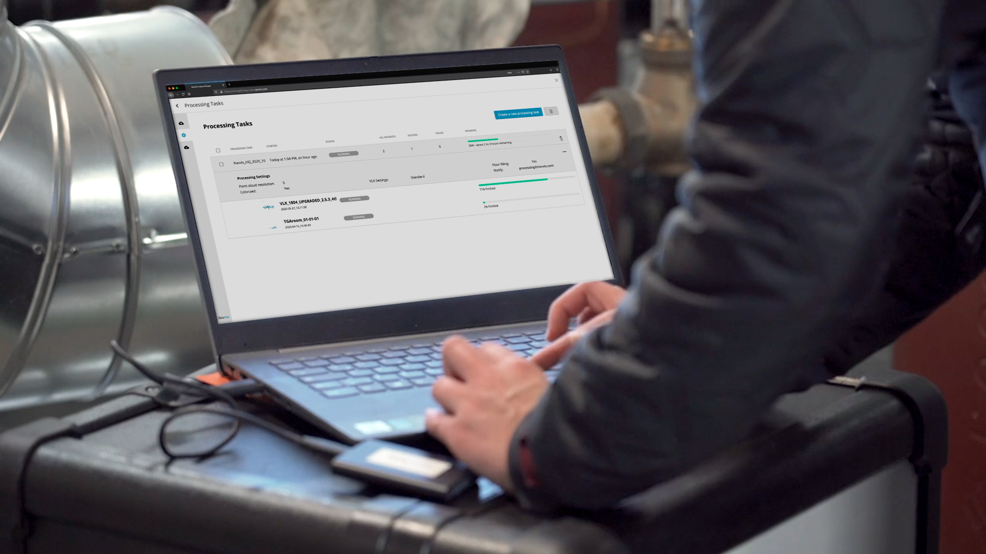
18th November 2020
NavVis Introduces Processing in the Cloud for Even Faster Laser Scanning Workflows

13th November 2020
Illinois Institute of Technology to Establish Trimble Technology Lab for Civil, Architectural, and Environmental Engineering
10th November 2020
RIEGL’s Ultimate LiDAR Webinar Series: November 2020
10th November 2020
Pix4D launches new ground image capture app for 3D modeling with the iPad Pro and iPhone 12 Pro
9th November 2020
Recordings are Now Available for the RIEGL Ultimate LiDAR October Webinar Series

6th November 2020
Road Pavement Analysis with the RIEGL VMX-2HA Mobile Mapping System
5th November 2020
GPI and RIEGL: From the Ground to the Skies3rd November 2020
New RIEGL VUX-120 Video Available On Youtube
29th October 2020
Researchers Innovate Using Lidar And Hyper-Spectral Scanners To Document And Help Restore Burn Areas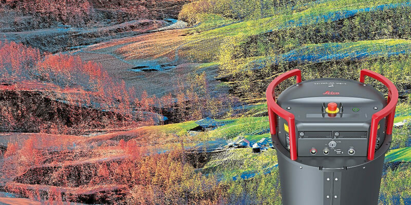
29th October 2020
Leica Geosystems continues airborne hybrid road map with latest modular sensor offering
29th October 2020
Riegl presents new products at Intergeo 202029th October 2020
Creaform announces new and complete R-Series suite of automated dimensional quality control solutions29th October 2020
GeoSLAM Completes Spook-Tacular Scanning of Californian Landmark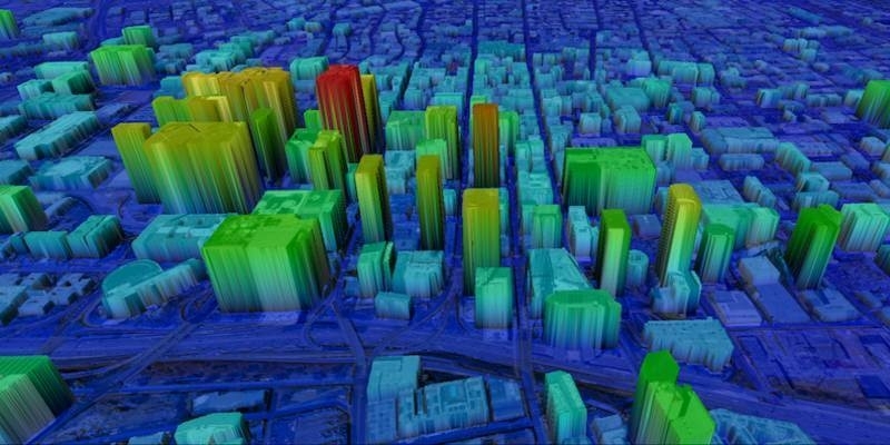
29th October 2020
UP42 Partners with Intermap to Bring High-Resolution Elevation Data to UP42’s Geospatial Marketplace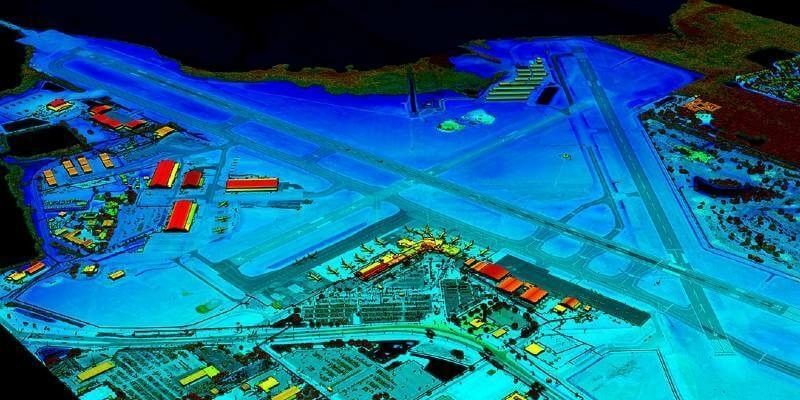
23rd October 2020
VeriDaaS Plans Statewide California LiDAR Mapping Project in Spring 2021 for Public and Private Customers
23rd October 2020
RIEGL’s Market Presence Expands Through Distribution Partnership in Mexico with TTQ de Monterrey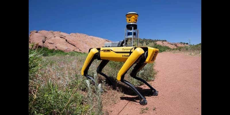
21st October 2020
Trimble and Boston Dynamics Announce Strategic Alliance to Extend the Use of Autonomous Robots in Construction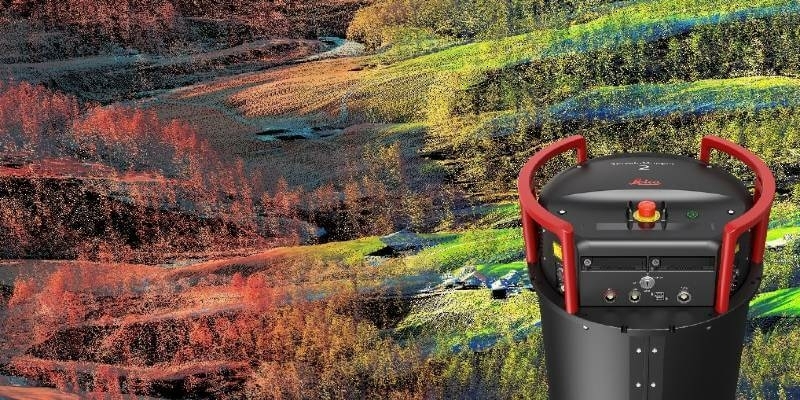
14th October 2020
Leica Geosystems continues airborne hybrid road map with latest modular sensor offering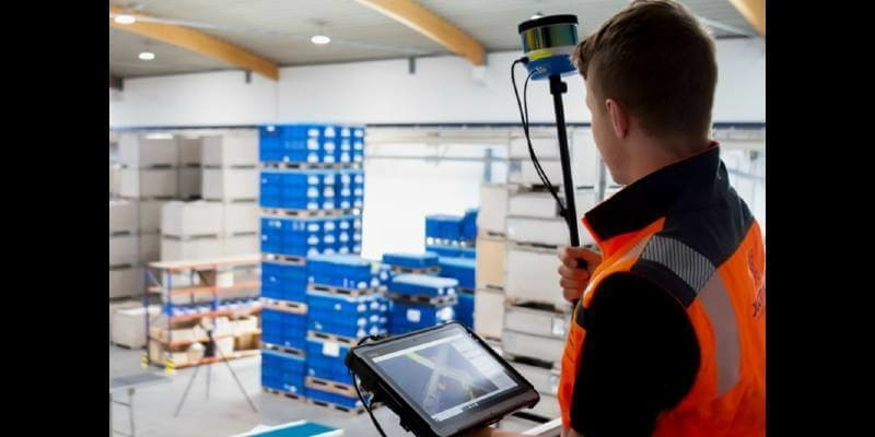
12th October 2020
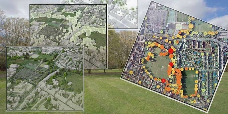
Bluesky Funds University of Leicester Study into use of LiDAR for Detailed Tree Analysis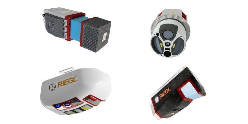
7th October 2020
Recordings are Now Available for the RIEGL Ultimate LiDAR September Webinar Series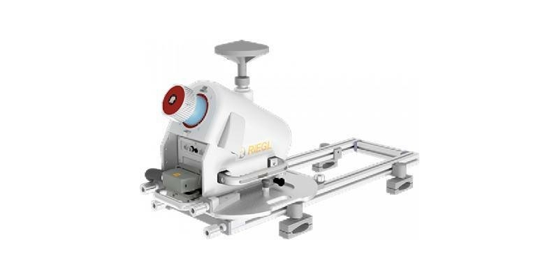
2nd October 2020
RIEGL RiCAST- “VMX: 10 Years of Success”: A Closer Look at Getting the Work Done with the VMQ-1HA
2nd October 2020
GeoCue Group Launches GeoCue Australia Pty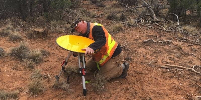
1st October 2020
Improve your UAV LiDAR survey accuracy with Routescene Ground Control Targets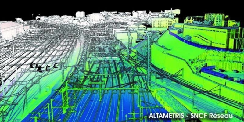

30th September 2020
Intergeo 2020: We are Here! Wir Sind Dabei!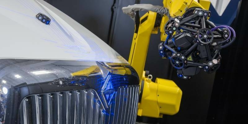
29th September 2020
Creaform announces new automated dimensional quality control solutions25th September 2020
Bluesky LiDAR Maps Help Landscape Partnership Champion the Past
25th September 2020
3D Surveying Of The St. Stephen’s Cathedral Vienna
18th September 2020
RiCAST: Artificial Intelligence: A Geospatial Revolution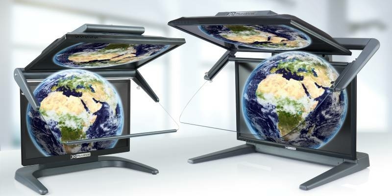
17th September 2020
3D PluraView - The Global Reference for Passive 3D-Stereo Monitors in all Geospatial Applications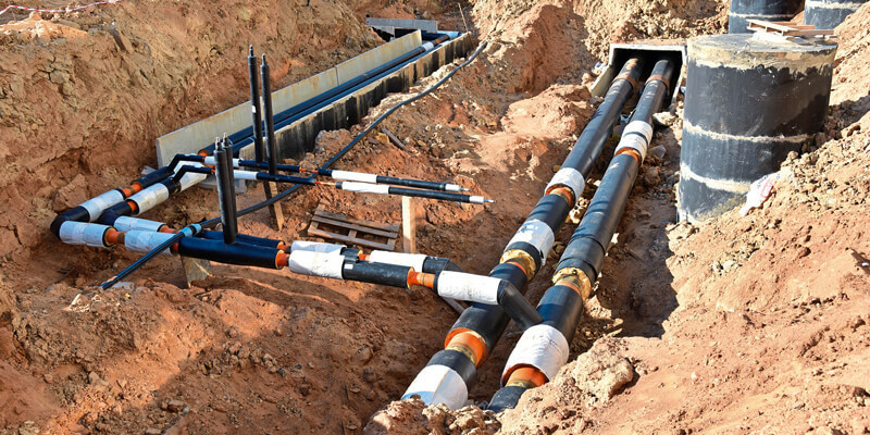

17th September 2020
FARO Hires Two Industry Veterans To Lead Its Global Hardware And Software R&D Teams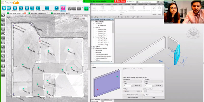
17th September 2020
Seiler Design Solutions Announces Partnership with PointCab16th September 2020
Riegl’s Market Presence Grows In Latin America
13th September 2020
2020 Commercial UAV Expo Americas to Take Place Virtually This Week
