
3D registration of condominium rights through BIM models
28th July 2023
3D registration of condominium rights through BIM models
30 Sep - 01 Oct
Excel London
AGV Expo Autonomous Ground Vehicles 30 Sep & 1Oct 2025
30 Sep - 01 Oct
Excel London
UMV EXPO Uncrewed Marine Vehicles 30 Sep & 1 Oct 2025
30 Sep - 01 Oct
Excel London
Space Autonomy International Expo 30 Sep & 1Oct 2025
28th July 2023
3D registration of condominium rights through BIM models

1st March 2023
New Geospatial Data Projects to Shape the Future of Land Use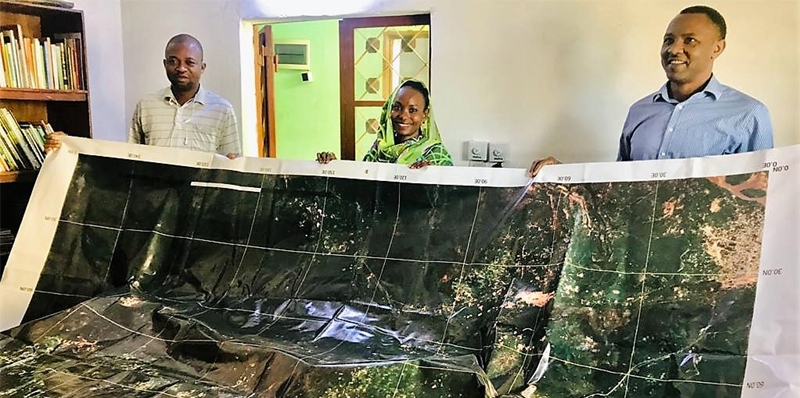
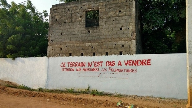
31st August 2022
Space tech meets barefoot mappers in Chad
19th July 2022
Urban-rural land linkages and territorial justice as states of mind
19th August 2021
Nigel Clifford elected as President of the Royal Geographical Society (with IBG)

29th April 2021
Automated harmony or destined for discord?

17th September 2020
3D PluraView - The Global Reference for Passive 3D-Stereo Monitors in all Geospatial Applications
28th August 2020
How to Generate a 3D Model with Correlator3D

25th August 2020
Global forest restoration and the importance of empowering local communities
27th July 2020
How to Generate a DSM and Point Cloud with Correlator3D
8th June 2020
Online training: Learn how to add easy-to-use SAR processing to your remote sensing applications

13th May 2020
Simactive - How to Perform Aerial Triangulation with Correlator3D
8th May 2020
TerraMotion to develop solution for monitoring land motion in peatland areas across the UK
14th April 2020
Landmark welcomes Public Sector Geospatial Agreement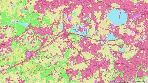
8th April 2020
4 Earth Intelligence Supports Environmental Policy Development with Satellite Land Use Mapping

30th October 2019
T-MAPY User Conference Attracts Record Numbers
28th October 2019
Mozambique Is Early Adopter of Esri Land Administration Modernization Program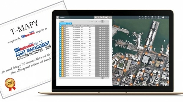
22nd October 2019
Assetino Asset Management Platform Scoops Top European Award
16th April 2019
Start-ups to receive funding, business support and more
9th April 2019
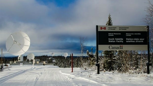
Canadian-Swedish co-operation to strengthen Earth Observation9th April 2019
Airbus and The Climate Corporation join forces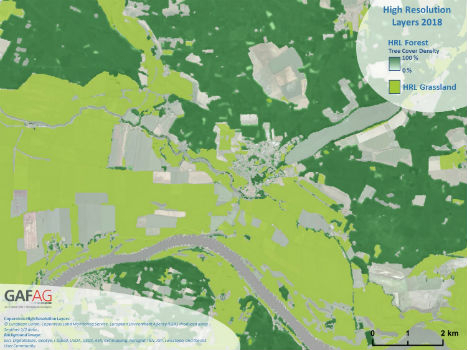
7th February 2019
Copernicus Land Monitoring: High-Resolution Layers 2018 kick off!
9th January 2019
Bristol Water renews annual subscription with Rezatec13th December 2018
Sercel Awarded Contract for Land Seismic Acquisition System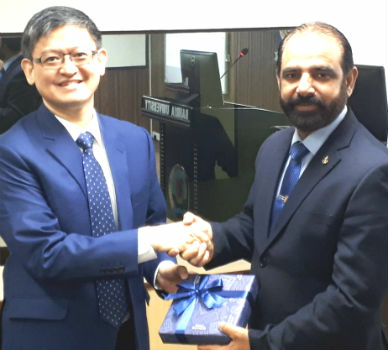
25th October 2018
Pakistan’s Bahria University Benefits from CGG GeoSoftware’s Donation
8th August 2018
Bentley Announces Finalists in the Year in Infrastructure 2018 Awards
7th August 2018
1Spatial adds Linear Reference System (LRS) support to 1Integrate19th July 2018
Ordnance Survey to help Guyana reap the benefit of geospatial data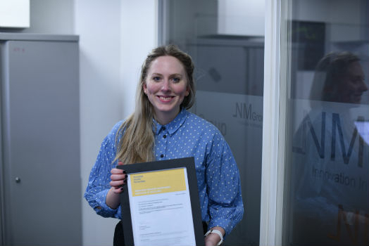
17th July 2018
NM Group and Durham University complete outstanding research10th July 2018
Belgians’ purchasing power for food three times that of Poles