OGC invites you to participate in its Maritime Limits and Boundaries Pilot
26th February 2019
OGC invites you to participate in its Maritime Limits and Boundaries Pilot
26th February 2019
OGC invites you to participate in its Maritime Limits and Boundaries Pilot
25th February 2019
Blockchain and Distributed Ledger Technologies (BDLT) Domain Working Group

15th February 2019
OGC requests public comment on draft charter for new Portrayal Domain Working Group
15th February 2019
OGC Seeks Public Comment on MetOcean profile and extensions to WCS 2.1
5th February 2019
OGC invites you to participate in its UML-to-GML Application Schema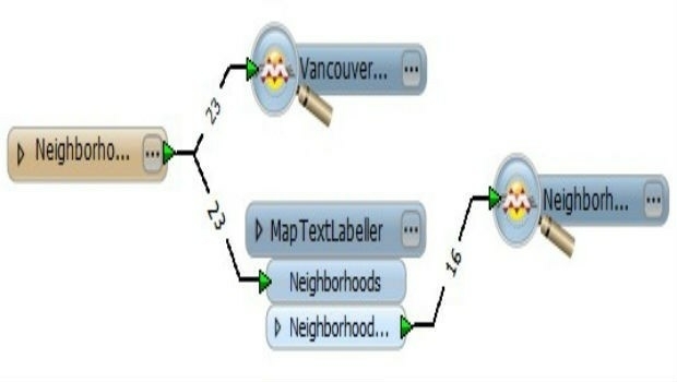
4th February 2019
Instituto Geografico Nacional (IGN) Has Signed With Recursos Tecnicos Madrid, S.L.,
16th January 2019
OGC Seeks Public Comment on GroundwaterML v2.3 Candidate Standard
9th January 2019
Request for Information: “Mixed Reality to the Edge”
4th January 2019
Tory Elmore Named URISA Young Professional of the Year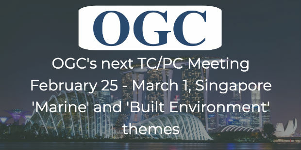
21st December 2018
OGC Announces its 110th Technical and Planning Committee Meeting
19th December 2018
CDB Vector Data in GeoPackage Interoperability Experiment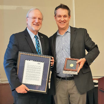
14th December 2018
Mark Reichardt receives special edition of OGC Gardels Award
6th December 2018
OGC seeks public comment on PipelineML candidate standard
28th November 2018
Announcing the OGC Energy & Utilities Summit
27th November 2018
Adoption of two jointly developed OGC/W3C standards
22nd November 2018
HERE Technologies has joined OGC as a Principal Member
16th November 2018
OGC announces a Request for Information on Marine Concept Development Study
14th November 2018
OGC seeks public comment on Hierarchical Data Format Version 5 (HDF5)
22nd October 2018
OGC seeks public comment on Symbology Conceptual Core Model
16th October 2018
OGC adopts new revision to GML in JPEG 2000 (GMLJP2)12th October 2018
Boundless Partners with the United Nations on the UN Open GIS Initiative
10th October 2018
OGC and Khronos Form a Liaison to Improve Interoperability
4th October 2018
OGC requests comment on candidate standard: Geographic Information28th September 2018
Boundless launches intuitive GIS Learning Platform, Boundless Learning
20th September 2018
3D Repo Debuts Online Health and Safety Platform13th September 2018
Boundless introduces GIS solution for state & local governments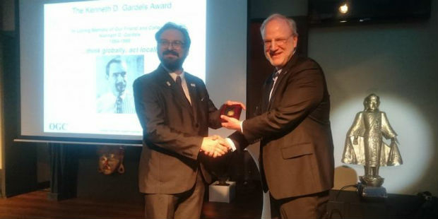
13th September 2018
Joan Masó receives OGC’s 2018 Gardels Award
4th September 2018
Artificial Intelligence in Geoinformatics Domain Working Group
23rd August 2018
OGC seeks public comment on GeoPackage Related Tables Extension
21st August 2018
OGC Seeks Public Comment on MetOcean profile and extensions to WCS 2.118th August 2018
2018 URISA Board Election Results Announced15th August 2018
2018 URISA Exemplary Systems in Government Award Recipients Announced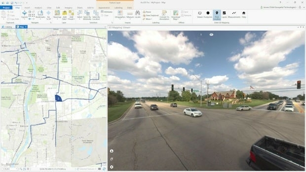
8th August 2018
Orbit GT releases free Esri ArcGIS Pro add-in
8th August 2018
Bentley Announces Finalists in the Year in Infrastructure 2018 Awards
7th August 2018
Urban-themed Location Powers Event Agenda Finalized25th July 2018
NGA Efforts to Drive Innovation by Partnering with Industry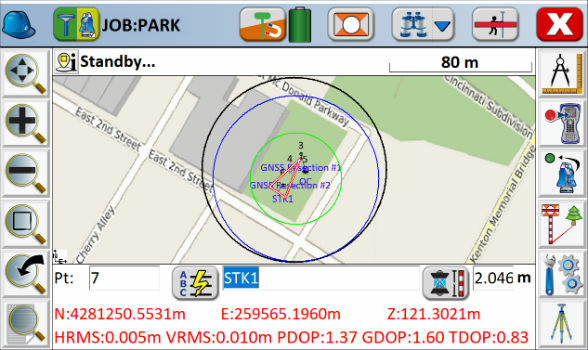
21st July 2018
Carlson SurvCE and SurvPC 6.0 Available Now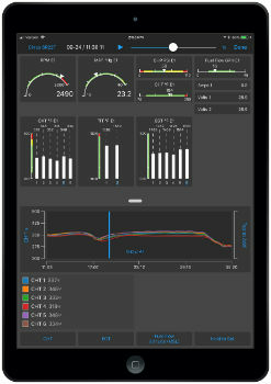
19th July 2018
Garmin Pilot app launches real-time engine data display19th July 2018
Ordnance Survey announces new OS Open Zoomstack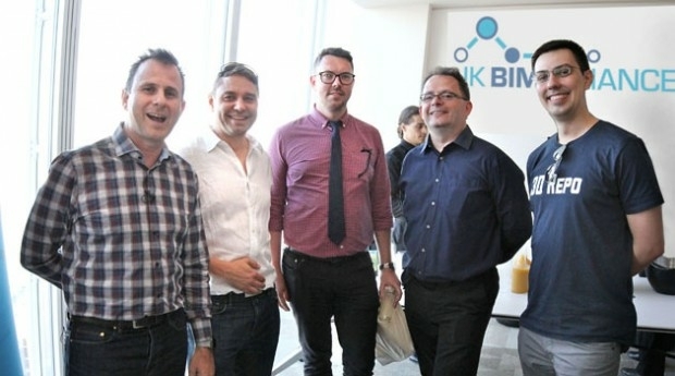
18th July 2018
3D Repo Drives Adoption of BIM with UK BIM Alliance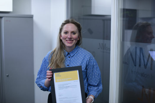
17th July 2018
NM Group and Durham University complete outstanding research
12th July 2018
OGC Calls for Participation in Vector Tiles Pilot11th July 2018
Avenza Releases MAPublisher 10.2 For Adobe Illustrator10th July 2018
Geosoftware with Tools for analyzing and processing of NTv2 files