
GAF and partners awarded contract to map European riparian zones
27th April 2017
GAF and partners awarded contract to map European riparian zones27th April 2017
GAF and partners awarded contract to map European riparian zones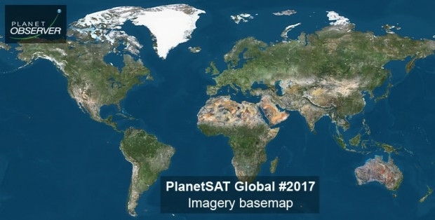
27th April 2017
PlanetObserver announces release of PlanetSAT Global imagery basemap
18th April 2017
Distribution of WorldView-4 satellite imagery in Europe begins
13th April 2017
Global push for Earth observations continues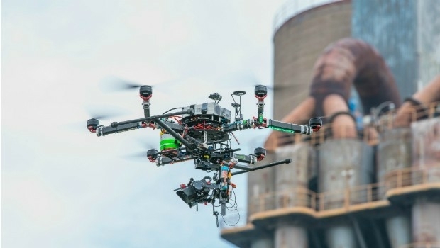
12th April 2017
Vertical Images: from film making to inspection
12th April 2017
Ecometrica lands on FT1000 list of Europe's fastest growing companies2nd April 2017
Blue Marble Adds Flat Earth Support to Geographic Calculator.jpg)
2nd April 2017
Airbus-built satellite SES-10 successfully launched
2nd April 2017
Earth-i Ready to Develop the Australian Earth Observation Marketplace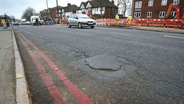
30th March 2017
Authorities will struggle to solve the pothole problem21st March 2017
PAZ to extend Airbus radar satellite constellation
18th March 2017
Image Platform Bundles for Analysis, Management, and Analytics
16th March 2017
Why desktop is essential for drone mapping in agriculture16th March 2017
Global Mapper SDK and LiDAR Module SDK v18.1 Released10th March 2017
NCTech announce ColourCloud processing hosted on Google Cloud Platform10th March 2017
Topcon announces new Wi-Fi capability for imaging station9th March 2017
GHGSat Satellite Deploys Headwall’s Micro-Hyperspec Imaging Sensor
8th March 2017
Spirent Helps to Improve Search and Rescue Operations at Sea
8th March 2017
Disaster Response for the Gulf Oil Spill Webinar
7th March 2017
Getech To Demonstrate Technical Excellence3rd March 2017
How do I choose the right image-capture settings for 3D models?27th February 2017
Airbus Partners with Bird.i for Access to Earth Observation Imagery26th February 2017
MacDonald Dettwiler Buying DigitalGlobe for $2.4 Billion24th February 2017
LizardTech Releases MrSID Generation 4 Decode SDK Version 9.5.423rd February 2017
Businesses Aided with Turn-key Streetview Camera Solution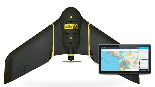
23rd February 2017
AirMap and senseFly Partner to Advance Safety for Commercial Drones
23rd February 2017
New Enterprise Tracks Headline InterDrone 2017 Call For Speakers22nd February 2017
EU Peacekeepers Choose Globalstar-enabled SafeFleet22nd February 2017
Global Mapper 18.1 Released with Improved 3D Viewing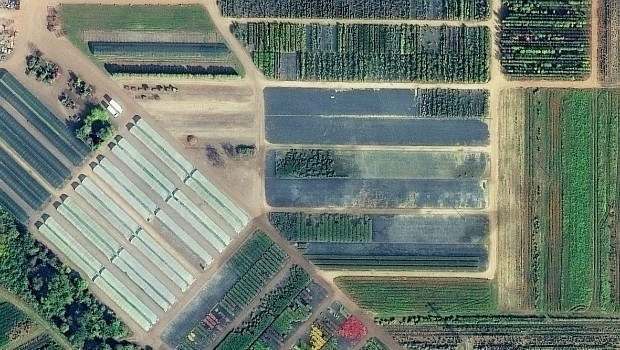
22nd February 2017
European Space Imaging main provider of VHR satellite imagery to EC20th February 2017
There’s a new girl in town: Joanna James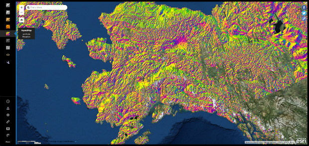
17th February 2017
Biggest Collection of Arctic Elevation Data Yet16th February 2017
Advanced Groundwater Technologies Joins PCI Reseller Partner Network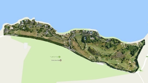
15th February 2017
Three reasons golf courses are the next drone mapping territory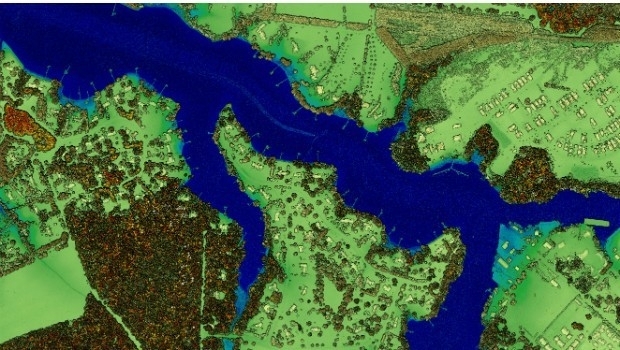
13th February 2017
New Leica SPL100 brings up to 10x more efficiency to airborne LiDAR mapping9th February 2017
Aeryon and DroneDeploy Partner to Deliver Enterprise UAS Solutions9th February 2017
Blue Marble's Latest Innovations in the Global Mapper LiDAR Module
8th February 2017
Commercial UAV Expo Europe Announces Early Backers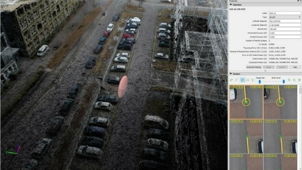
8th February 2017
Achieving best accuracy with error ellipsoid in Pix4Dmapper rayCloud8th February 2017
CSA Presents Advanced Coastal Aerial Image Analysis Techniques
6th February 2017
GAF AG and Partners to Investigate the Future Evolution of Copernicus