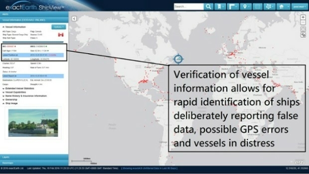
Knowledge is Power- exactEarth Announces Vital New Information Service
11th May 2016
Knowledge is Power- exactEarth Announces Vital New Information Service
11th May 2016
Knowledge is Power- exactEarth Announces Vital New Information Service
10th May 2016
Earth-i Takes the Best of British to Geospatial World Forum
9th May 2016
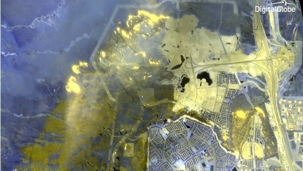
DigitalGlobe Dramatic Images: Oil Sands Fire4th May 2016
VerifEye Technologies Amovi VOC Camera now available with Geotab3rd May 2016
Introducing AeryonLive – the SaaS platform for UAS fleet management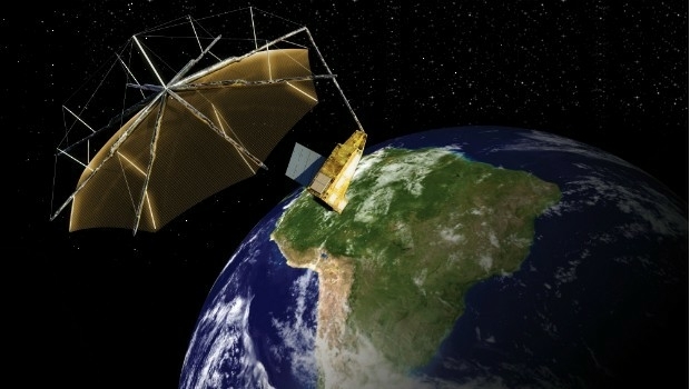
3rd May 2016
Airbus Defence and Space signs contract to build Biomass28th April 2016
DigitalGlobe to Provide WorldView-4 Access for a New Customer28th April 2016
DigitalGlobe Reports First Quarter 2016 Results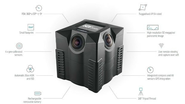
27th April 2016
NCTech and Top Gear USA capture the Rubicon Trail in 360 degrees
26th April 2016
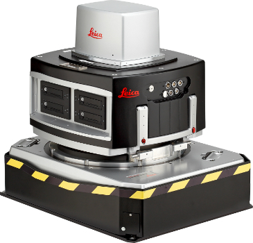
Leica Geosystems delivers 10th DMC III aerial camera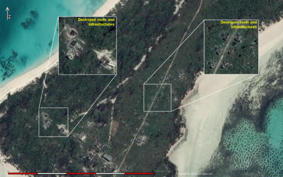
25th April 2016
Change Detection analysis of Farquhar Island after major hurricane18th April 2016
Final Stage of SPOT Gen3® Messenger Rollout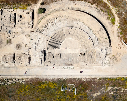
14th April 2016
World Heritage site surveyed by QuestUAV team14th April 2016
exactEarth Announce New Strategic Alliance with Larus Technologies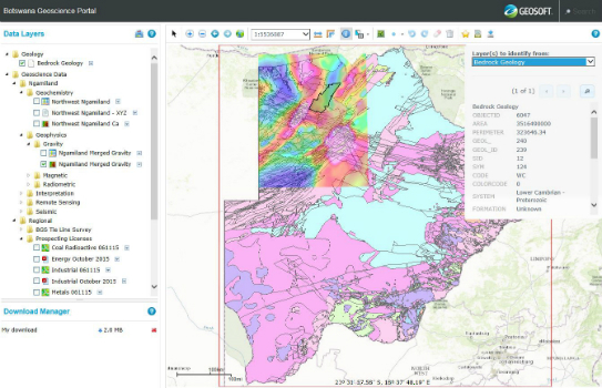
12th April 2016
Golden Software Releases Raster Tools, an Add-in for Esri® ArcMap
12th April 2016
ISPRS awards Prof. Wolfgang Foerstner with Brock Gold Medal12th April 2016
Inmarsat selects Kontron as key supplier for European Aviation Network6th April 2016
The new version 6.1 of the PHOTOMOD software family has been released5th April 2016
NCTech unveils new 360 degree imaging developments for iSTAR camera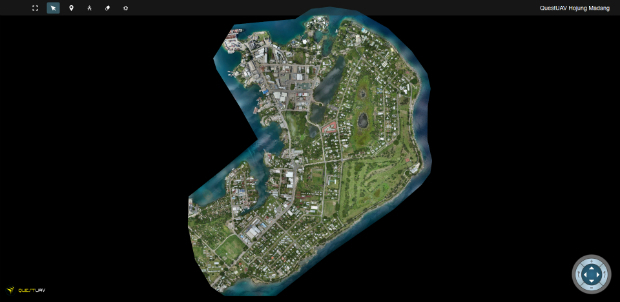
1st April 2016
QuestUAV's South Korean Partner maps Madang, Papua New Guinea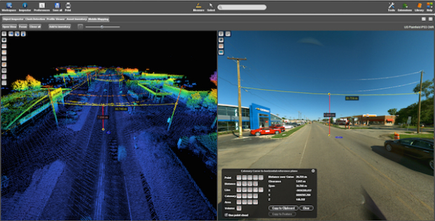

30th March 2016
Free Report: UAVs in Precision Agriculture


21st January 2016
INTERGEO: supporting Hamburg’s Smart City quest


7th January 2016
INTERGEO: the global hub for Geo business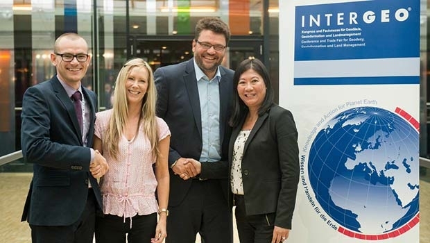
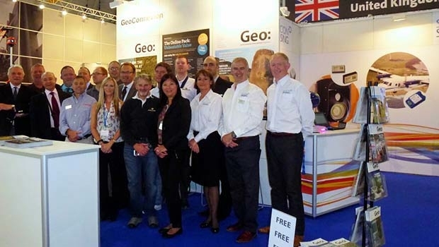

28th October 2015
INTERGEO 2015 Review - Going global. Going great!


10th October 2014
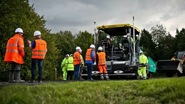
Cutting costs in aerial surveying by combining LiDAR and hyperspectral imaging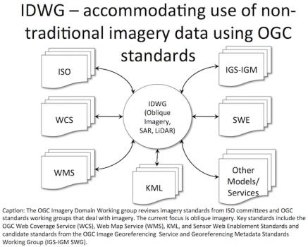
8th October 2013
The Path to Standards for Oblique Imagery