Participate in the giCASES survey on collaboration in GIS&T education!
29th March 2016
Participate in the giCASES survey on collaboration in GIS&T education!29th March 2016
Participate in the giCASES survey on collaboration in GIS&T education!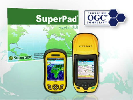
29th March 2016
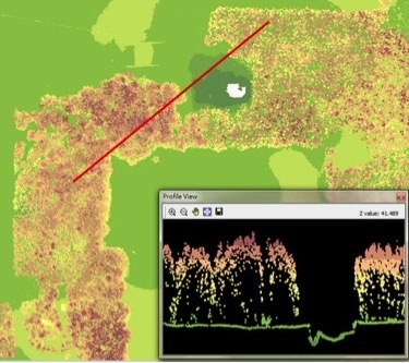
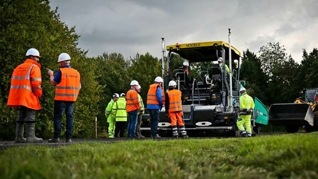
SuperPad Supports Environmental Management in the Philippines
25th March 2016
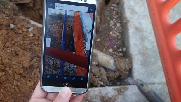
GeoSmart Trials a Pilot Groundwater Data Service24th March 2016
Esri and USDA Forest Service Introduce Interactive Trove of Maps

24th March 2016
Greg Bentley, CEO of Bentley Systems, Inc to deliver keynote on 3D24th March 2016
1Spatial Becomes Geocom Partner for UK and Ireland
23rd March 2016
Esri Events, Activities Meet Eligibility for AICP Certification23rd March 2016
Strong Support for Commercial UAV Expo 2016
23rd March 2016
Launch Of Utility Training Academy For Unmanned Aerial Systems23rd March 2016
Learn to Use the Esri Collector for ArcGIS App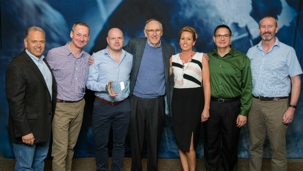
23rd March 2016
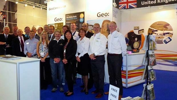
Exprodat Wins Esri Award at Business Partner Conference 201623rd March 2016
1Spatial’s FME Team Wins Two Awards at Safe Software Event
22nd March 2016
Learn to Use Multidimensional Scientific Data with ArcGIS Technology22nd March 2016
Australian Motoring Clubs Select Hexagon Safety & Infrastructure22nd March 2016
Esri Showcases Smart Decision Making through GIS22nd March 2016
EARSC is now a GEO Participating Organization!22nd March 2016
Advanced Wave Processing for OceanWise’s Port-Log22nd March 2016
GeoSmart wins Geovation Challenge for Sustainable Catchments
21st March 2016
New online Mapping Platform, Azimap, Launched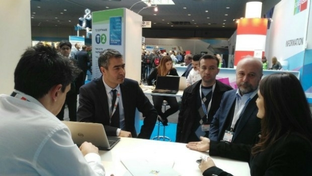


21st January 2016
INTERGEO: supporting Hamburg’s Smart City quest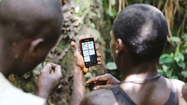


7th January 2016
INTERGEO: the global hub for Geo business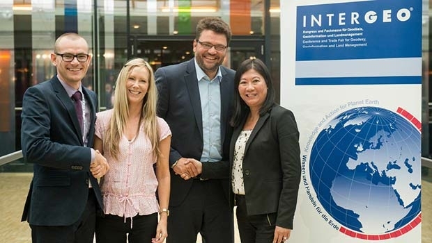
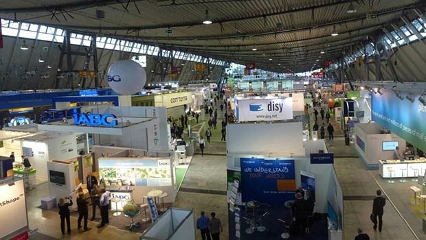
28th October 2015
INTERGEO 2015 Review - Going global. Going great!

23rd September 2015
Better collaboration and decision-making in Romania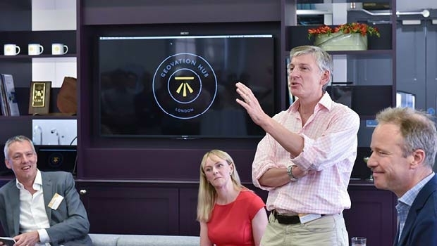

1st August 2015
2015 Esri User Conference - 360-degree Spectrum of Applications
26th June 2015
Powering responses to RIIO with geospatial