
GSDI 15 Workshop Opportunities in Taiwan, 29 November to 2 December
21st June 2016
GSDI 15 Workshop Opportunities in Taiwan, 29 November to 2 December21st June 2016
GSDI 15 Workshop Opportunities in Taiwan, 29 November to 2 December21st June 2016
Small Vessel Tracking Trials, a Success in South Africa
21st June 2016
BARTHAUER acquires pilot customer for cooperation in Serbia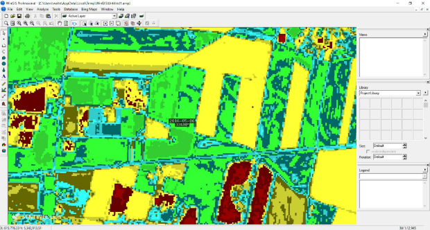
21st June 2016
WinGIS & EC-Sentinel II Images introduced at AgriFuturedays 2016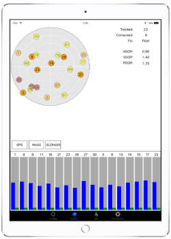
21st June 2016
Cornerstone Mapping Processing Thermal Imagery with SimActive
20th June 2016
1Spatial Extends Geocom Partnership to the USA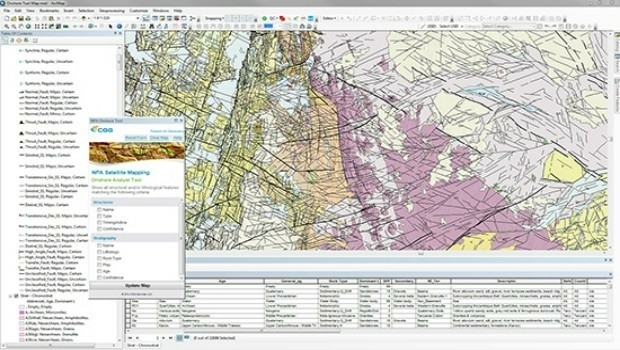
20th June 2016
CGG GeoConsulting introduces EARS BasinMap
17th June 2016
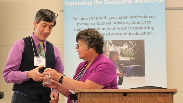
Esri Education Manager Honoured with Lifetime Achievement Award16th June 2016
U.S. Marine Corps to Deploy Intergraph Computer-Aided Dispatch15th June 2016
Esri to Attend AWWA Annual Conference and Exhibition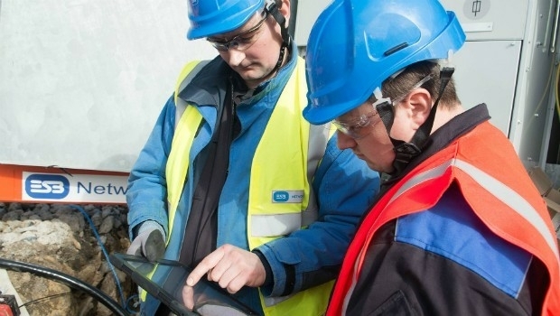
15th June 2016
Hexagon Safety & Infrastructure Presents Icon Awards
15th June 2016
Ecometrica spearheads collaboration with top universities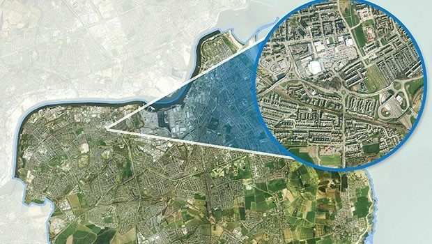
15th June 2016
Local Authority Takes to the Air to Police Planning Permissions with Bluesky Aerial Maps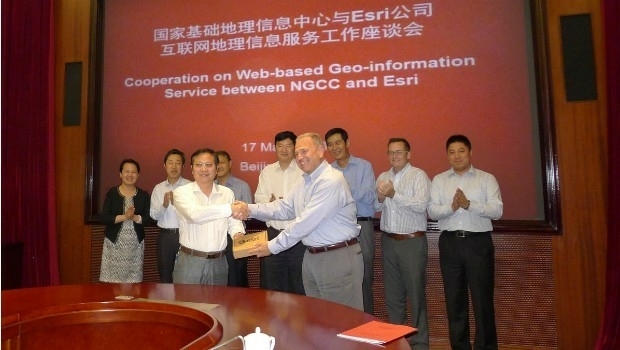
15th June 2016
Access to Authoritative Chinese Cartographic Maps and Imagery
14th June 2016
Esri and Hexagon Promote Their Joint Collaboration at HxGN LIVE
14th June 2016
LuxCarta Announces Investment for its Growth Strategy14th June 2016
Hexagon Unveils Latest Intergraph Computer-Aided Dispatch Software14th June 2016
exactEarth and DigitalGlobe Partner to Combat IUU Fishing14th June 2016
Acquisition of Exprodat Consulting Ltd by Getech Group plc
13th June 2016
Abstract Submissions Invited for 2017 GIS/CAMA Technologies Conference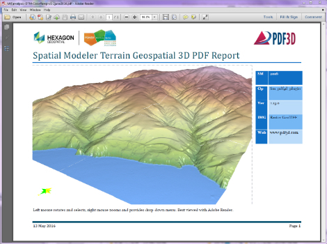
13th June 2016
PDF3D Releases 3D Geospatial PDF Plugin for ERDAS IMAGINE10th June 2016
City of Aurora Honored for Water Operations GIS Overhaul
10th June 2016
Geospatial on a Budget: When Cost Really is Total Cost10th June 2016
exactEarth Providing S-AIS Services to French Navy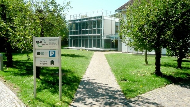
9th June 2016
Eco-Center AG is a new customer of Barthauer Software GmbH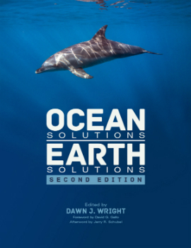
9th June 2016
New Esri Book Shows How GIS Technology Can Help the Oceans Thrive
8th June 2016
Hydropower Development Europe 2016 , 14-15 September, Lyon, France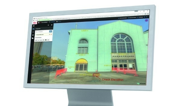
8th June 2016
Leica Geosystems releases new software capabilities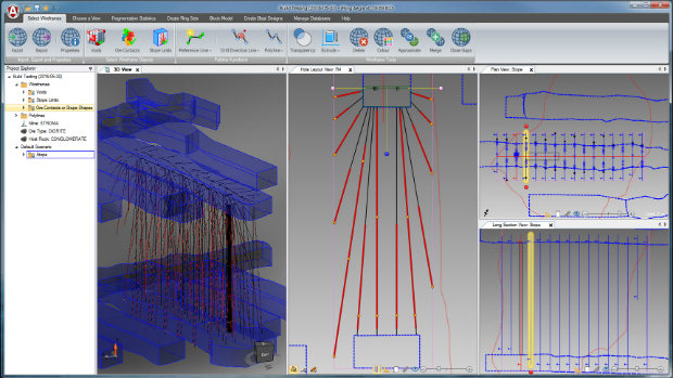
8th June 2016
Esri Sponsors AFCEA NGA Small Business Breakfast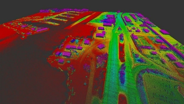
8th June 2016
Merrick-Surdex JV Awarded Contract with USGS

7th June 2016
Bluesky Appoints Dr Simon Schuffert to Lead Software Innovation
6th June 2016
Hexagon Software Aids Emergency Response in Gotthard Base Tunnel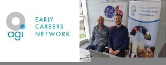
6th June 2016
Final reminder about the Early Careers Network webinar - 8th June 20163rd June 2016
Esri Brings GIS to Young Developers for National Day of Civic Hacking
3rd June 2016
Topcon and Bentley integration between MAGNET 4.0 and ProjectWise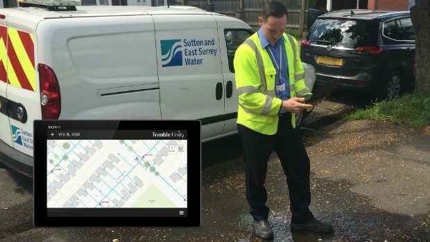
2nd June 2016
Trimble Unity Enables Sutton and East Surrey Water1st June 2016
Topcon announces increased integration with Autodesk scanning software1st June 2016
PDF3D's New PowerPoint Plugin Brings Interactive 3D to Presentations
1st June 2016
Allies announces partnership with what3words