Advanced Distribution Management System for Electric Utility Companies
21st December 2016

Advanced Distribution Management System for Electric Utility Companies
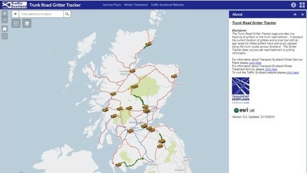
Gritter Tracker coming to the rescue for snowed-in Scots (from import)

Gritter Tracker coming to the rescue for snowed-in Scots

21st December 2016

Gritter Tracker coming to the rescue for snowed-in Scots

exactEarth to Provide India's Navy with Satellite AIS

21st December 2016

exactEarth to Provide India's Navy with Satellite AIS

Revised Global Mapper Training Curriculum and Schedule for 2017

21st December 2016

Revised Global Mapper Training Curriculum and Schedule for 2017

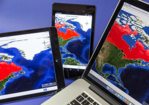
Esri Unveils CityEngine Mobile Virtual Reality Solution
20th December 2016

Esri Unveils CityEngine Mobile Virtual Reality Solution
TatukGIS for Mobile GIS Development (from import)

TatukGIS for Mobile GIS Development

20th December 2016

TatukGIS for Mobile GIS Development
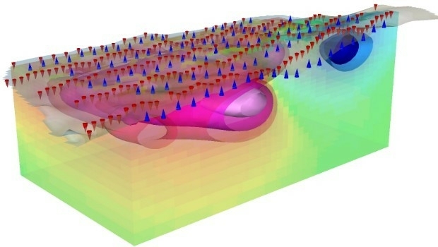
Geosoft introduce IP and resistivity inversion in VOXI Earth Modelling (from import)

Geosoft introduce IP and resistivity inversion in VOXI Earth Modelling

20th December 2016

Geosoft introduce IP and resistivity inversion in VOXI Earth Modelling

New Esri ArcGIS Release Transforms Spatial Analytics

19th December 2016

New Esri ArcGIS Release Transforms Spatial Analytics

CalAmp’s GovOutlook Integrates with Cityworks

16th December 2016

CalAmp’s GovOutlook Integrates with Cityworks

Avenza Releases MAPublisher 9.9 For Adobe Illustrator
16th December 2016

Avenza Releases MAPublisher 9.9 For Adobe Illustrator
TomTom and Microsoft join forces (from import)

TomTom and Microsoft join forces

16th December 2016

TomTom and Microsoft join forces
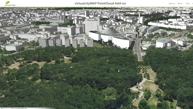
virtualcitySYSTEMS simplifies handling of massive geodata (from import)
virtualcitySYSTEMS simplifies handling of massive geodata

16th December 2016

virtualcitySYSTEMS simplifies handling of massive geodata
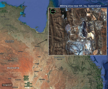
Major contract award from the Government of Queensland, Australia (from import)

Major contract award from the Government of Queensland, Australia

15th December 2016

Major contract award from the Government of Queensland, Australia

HERE and Microsoft expand collaboration on location-based services

15th December 2016

HERE and Microsoft expand collaboration on location-based services

ETSIC.- Academic Program By Bentley through RTM
15th December 2016

ETSIC.- Academic Program By Bentley through RTM
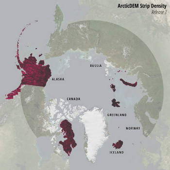
Esri Releases New Arctic Elevation Data (from import)

Esri Releases New Arctic Elevation Data

14th December 2016

Esri Releases New Arctic Elevation Data
GAF, GeoVille, SIRS and e-GEOS contracted by the EEA (from import)

GAF, GeoVille, SIRS and e-GEOS contracted by the EEA

14th December 2016

GAF, GeoVille, SIRS and e-GEOS contracted by the EEA
Merry Christmas from the thinkWhere Team (from import)
Merry Christmas from the thinkWhere Team

14th December 2016

Merry Christmas from the thinkWhere Team
The holly and the 5G (from import)

The holly and the 5G

14th December 2016

The holly and the 5G
Prince Harry shines a light on the vital work of MapAction volunteers (from import)
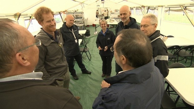
Prince Harry shines a light on the vital work of MapAction volunteers

14th December 2016

Prince Harry shines a light on the vital work of MapAction volunteers
Sercel Sell Four 508XT Acquisition Systems to Indian Seismic Companies (from import)

Sercel Sell Four 508XT Acquisition Systems to Indian Seismic Companies

14th December 2016

Sercel Sell Four 508XT Acquisition Systems to Indian Seismic Companies

Itron Tops Navigant Research Leaderboard

14th December 2016

Itron Tops Navigant Research Leaderboard

Proteus Geo works with AECOM to test new Bathymetry Service

14th December 2016

Proteus Geo works with AECOM to test new Bathymetry Service

New Digital Mapping Tool for Citizens Introduced

14th December 2016

New Digital Mapping Tool for Citizens Introduced

Septentrio PolaRx5 GNSS receivers for volcano monitoring

13th December 2016

Septentrio PolaRx5 GNSS receivers for volcano monitoring

Geosoft announces technology partnership with Corescan

13th December 2016

Geosoft announces technology partnership with Corescan

New Ultra-wide Band Radar Technology Saves Lives at Disaster Scenes

13th December 2016

New Ultra-wide Band Radar Technology Saves Lives at Disaster Scenes

Flanders, Belgium selects HERE C-ITS solution

12th December 2016

Flanders, Belgium selects HERE C-ITS solution

Côte d'Ivoire adopts what3words as postal addressing system

9th December 2016

Côte d'Ivoire adopts what3words as postal addressing system

Councils input into new highways blueprint for Britain

8th December 2016

Councils input into new highways blueprint for Britain

The Highway Authority of Indonesia Chooses SuperGIS Desktop 10

8th December 2016

The Highway Authority of Indonesia Chooses SuperGIS Desktop 10

Indonesian Company Amilna Selects SuperGIS Desktop 10

8th December 2016

Indonesian Company Amilna Selects SuperGIS Desktop 10

New Features in the Upcoming SuperPad 10

8th December 2016

New Features in the Upcoming SuperPad 10

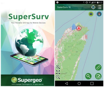
The Latest Version of SuperSurv 3.3 Is Released!

8th December 2016

The Latest Version of SuperSurv 3.3 Is Released!

Esri to Showcase Innovations in Science Tech at AGU Fall Meeting

8th December 2016

Esri to Showcase Innovations in Science Tech at AGU Fall Meeting

Hexagon Safety & Infrastructure for Incident & Emergency Management

6th December 2016

Hexagon Safety & Infrastructure for Incident & Emergency Management

OGC requests public comment on its Coverage Implementation Schema

6th December 2016

OGC requests public comment on its Coverage Implementation Schema

CGG Achieves Near Real-Time Imaging for Offshore Morocco Survey

6th December 2016

CGG Achieves Near Real-Time Imaging for Offshore Morocco Survey

West Yorkshire Police extend Cadcorp GIS Contract

6th December 2016

West Yorkshire Police extend Cadcorp GIS Contract

GIS Leadership: URISA program to be offered twice in 2017

6th December 2016

GIS Leadership: URISA program to be offered twice in 2017

DigitalGlobe Releases First Image from WorldView-4 Satellite

3rd December 2016

DigitalGlobe Releases First Image from WorldView-4 Satellite

Satellite Imagery: Gatlinburg, Tennessee Wildfire

2nd December 2016

Satellite Imagery: Gatlinburg, Tennessee Wildfire

Final PreSDM Data Sets for Gabon South Basin Multi-Client Survey

1st December 2016

Final PreSDM Data Sets for Gabon South Basin Multi-Client Survey

Clevest Extends Cityworks Interface

1st December 2016

Clevest Extends Cityworks Interface

On-Demand Deployment and Managed Services in the Cloud

1st December 2016

On-Demand Deployment and Managed Services in the Cloud

Esri Announces Additional Presenters for Geodesign Summit 2017

30th November 2016

Esri Announces Additional Presenters for Geodesign Summit 2017

Aerial scanning to improve electricity network resilience

30th November 2016

Aerial scanning to improve electricity network resilience

Map of the month: GfK Purchasing Power Europe 2016

30th November 2016

Map of the month: GfK Purchasing Power Europe 2016