
1Spatial Enables Northumbrian Water to Save £8.75m
10th March 2017
1Spatial Enables Northumbrian Water to Save £8.75m10th March 2017
1Spatial Enables Northumbrian Water to Save £8.75m10th March 2017
Oak Ridge National Laboratory Selects Esri
10th March 2017
Esri President Jack Dangermond to Talk at ASPRS IGTF 2017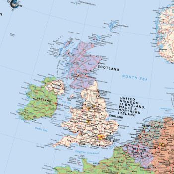
9th March 2017
Scottish / UK Post Brexit Maps Now Available on Avenza Maps9th March 2017
Common Object Model Container Standards Working Group

9th March 2017
Geospatial mapping solution for New York Power Authority
9th March 2017
OGC is seeking information on Geospatial APIs9th March 2017
Moving BI and GIS closer together thanks to GeoQlik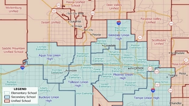
8th March 2017
New School District Data for Maptitude Mapping Software8th March 2017
Cadcorp Workload Modelling Analysis Service8th March 2017
Supergeo Announces the Official Release of SuperPad 108th March 2017
Consulting Company Aurecon Indonesia Chooses SuperSurv8th March 2017
PubNub CEO Todd Greene to Deliver Keynote Address at Esri DevSummit8th March 2017
Reality modelling software bundled with UAS software solutions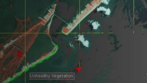
8th March 2017
Disaster Response for the Gulf Oil Spill Webinar
7th March 2017
GSSI Announces a New UtilityScan® GPR System7th March 2017
HampsonRussell software donated to University of Texas
7th March 2017
HR Wallingford celebrates 70 years making waves
7th March 2017
Esri Honors Microsoft for Innovation in Location Strategy7th March 2017
Esri Honors Partners for Exceptional Use of Mapping and Analytics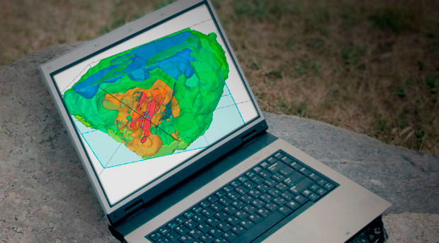
7th March 2017
Geosoft launches new subscription plans for Target geology software6th March 2017
Orbit GT and GeoCue Group Inc. sign Reseller Agreement6th March 2017
Swedish energy company Lerum Energi has yet again chosen Digpro6th March 2017
Risk Insight improves precision underwriting for RSA and its brokers3rd March 2017
Airbus boosts its capacity in the agricultural sector
3rd March 2017
Orbit GT and Five Star Electronic Technology, China sign Agreement3rd March 2017
Esri Signs Enterprise Agreement with Harris Corporation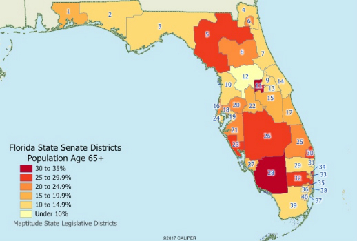
3rd March 2017
Caliper Offers State Legislative Districts with Updated Census Data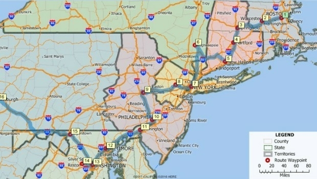
3rd March 2017
Maptitude 2017 Adds Enhanced MapPoint and Streets & Trips Features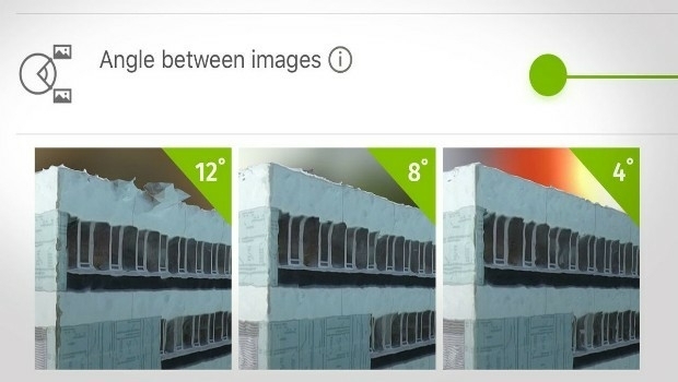
3rd March 2017
How do I choose the right image-capture settings for 3D models?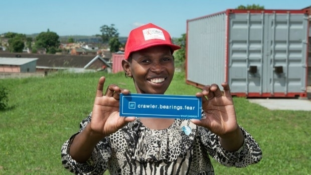
2nd March 2017
what3words addresses South African township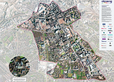
2nd March 2017
Opening the doors to innovation in Manchester’s corridor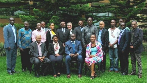
1st March 2017
GAF to provide technical assistance to GMES & Africa Support Programme
1st March 2017
Top GIS Housing Officer Links Up With Oxford Data Consultancy1st March 2017
UK Input to Phase 3 of European High Resolution Seabed Mapping Project1st March 2017
Mobile Data Collection has never been easier!
1st March 2017
Geosoft showcases VOXI IP and resistivity inversion technology1st March 2017
Global Mapper LiDAR Module v18.1 Now Available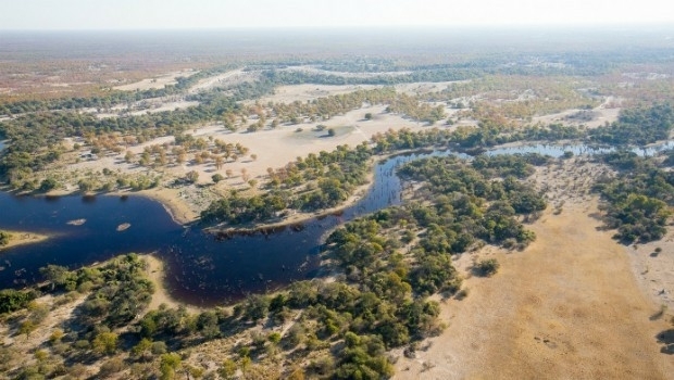
28th February 2017
Botswana Geoscience Portal serves up 2000 downloads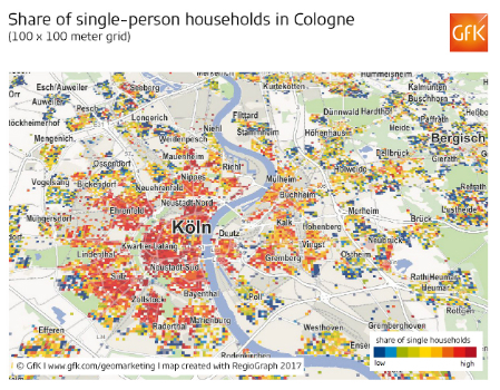
28th February 2017
Share of single-person households in Cologne
28th February 2017
GeoSLAM Growth Continues With Two Senior Appointments
28th February 2017
Leveraging 3D modeling and printing skills as a service27th February 2017
2017 version of Mobile Coverage Explorer Released26th February 2017
MacDonald Dettwiler Buying DigitalGlobe for $2.4 Billion