
Esri Brings The Science of Where to the 2017 Digital Enterprise Show
18th May 2017
Esri Brings The Science of Where to the 2017 Digital Enterprise Show18th May 2017
Esri Brings The Science of Where to the 2017 Digital Enterprise Show18th May 2017
Esri Showcases Insights for ArcGIS at SAPPHIRE NOW18th May 2017
Orbit GT and MeaTech, India, sign Reseller Agreement
18th May 2017
Third British Information Modelling Event Wins Praise from Delegates
17th May 2017
Ministry of Public Works of Indonesia Selects SuperSurv
17th May 2017
Latest SuperSurv 3.3 Offers More than Bug Fixes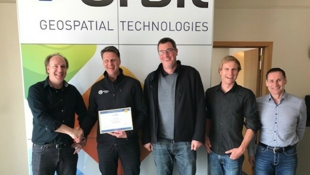
17th May 2017
Orbit GT and Vexcel Imaging, Austria update Gold Reseller status

16th May 2017
NM Group assist Hydro One to develop LiDAR strate
16th May 2017
Orbit GT and TPI, Poland update Gold Reseller status
15th May 2017
Icaros Releases Ver 5.0 of OneButton™ Drone Image Processing Software
15th May 2017
GEO Business previews its exhibitor show highlights for 2017
15th May 2017
1Spatial releases dates for exciting FME World Tour, courses, webinars

15th May 2017
Bluesky National Tree Map Helps Daventry Plan Ground Maintenance12th May 2017
Mobile Friendly Version of the GeoCalc Geodetic Registry Released11th May 2017
30 Years of Success Leads DAT/EM to Virtual Reality and UAS10th May 2017
Orbit GT and Gexcel, Italy, sign Reseller Agreement10th May 2017
Imajing provides ESRI users with online 3D enabled images
10th May 2017
Duke of Edinburgh's Award Entrusts SPOT and Mapyx10th May 2017
Blue Marble Releases Beta Version of Global Mapper Mobile for Android9th May 2017
PCI Geomatics Now a Planet Ecosystem Partner
9th May 2017
Orbit GT updates 3D Mapping Cloud with faster Performance Measurements9th May 2017
sensewhere Launches Visit Confirmation Platform for Mobile Attribution9th May 2017
Wantman Completes Extensive UAV Project with SimActive8th May 2017
exactEarth Announce Two-Year $1.45 Million Commercial Customer Renewal6th May 2017
Esri and UNOSAT Host GIS for a Sustainable World Conference5th May 2017
PCI Geomatics to Present OBIA and InSAR Papers at ISRSE-37
5th May 2017
Springfield, Illinois, Maximizes Efficiency with Cityworks ELA
3rd May 2017
senseFly Corridor solution boosts linear mapping projects efficiency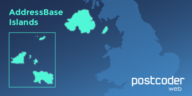
3rd May 2017
Allies strengthens PostCoder with AddressBase Islands3rd May 2017
Global Mapper and Geographic Calculator Free Academic License Program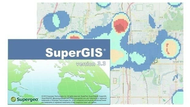
3rd May 2017
Supergeo Releases the Latest Update of SuperGIS Desktop 3.3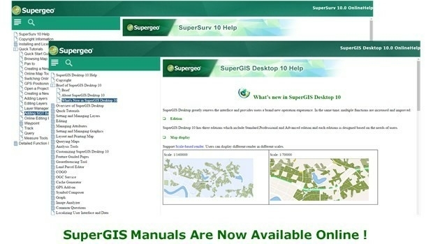

2nd May 2017
Pix4Dmapper 3.2 Now Generates Tiled Level-of-Detail (LoD) Mesh
2nd May 2017
Valtellina Reduces Communications Network Data Production Time
2nd May 2017
3D Modeling Innovator Arithmetica Expands with Appointment of European Resellers for Pointfuse
2nd May 2017
Cadcorp launches Risk Modeller for Fire & Rescue Services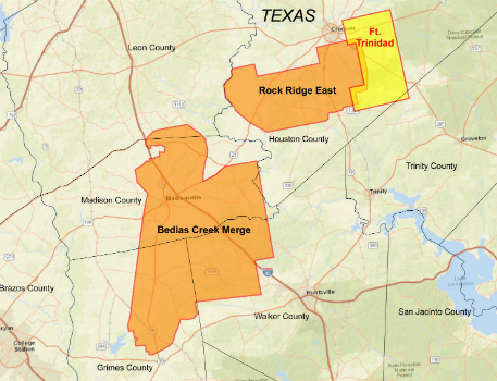
27th April 2017
CGG Delivers Reservoir-Oriented Data for Fort Trinidad in East Texas27th April 2017
CartoPac Unveils Barcode Scanner for Gas Utility Pipeline Mapping27th April 2017
GAF and partners awarded contract to map European riparian zones27th April 2017
Digpro strengthens the management team with new skills
27th April 2017
Speaker Line-up Announced for Third British Information Modelling Event27th April 2017
Esri's Dr. Dawn Wright to Discuss Mapping the Ocean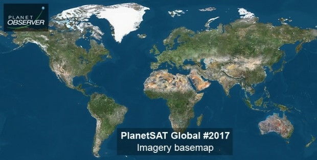
27th April 2017
PlanetObserver announces release of PlanetSAT Global imagery basemap