
This year’s GI_Forum will open its doors again for the 11th time.
13th June 2017
This year’s GI_Forum will open its doors again for the 11th time.13th June 2017
This year’s GI_Forum will open its doors again for the 11th time.13th June 2017
PCI Geomatics Delivers GXL System to L3 Link Simulation & Training
12th June 2017
NextGen 9-1-1 and Emergency Preparedness Content at GIS-Pro 20179th June 2017
Recycling Issues Remain Unresolved after One Week9th June 2017
CGG Delivers Final Data from Encontrado project over Perdido fold belt8th June 2017
Esri and NATO NCI Agency Sign Enterprise Agreement8th June 2017
Blue Marble Conducts Successful Global Mapper Training Class7th June 2017
Esri and Idaho National Laboratory Sign Cooperative R&D Agreement7th June 2017
Esri ArcGIS 10.5 Leading Platform in OGC Compliance7th June 2017
Esri and Leidos Modernize Intelligence Data Production7th June 2017
Learn the Basics of the ArcGIS Pro App from Esri7th June 2017
Harris Announces Training Partnership with NGA at GEOINT 20177th June 2017
Hexagon Safety & Infrastructure Listed on G-Cloud 9 Framework6th June 2017
Dassault Systèmes has joined OGC as a Principal Member6th June 2017
SimActive Optimizes Vineyard Performance with Drones
6th June 2017
Proposals Invited for 2018 GIS/CAMA Technologies Conference5th June 2017
Department of Interior Awards Major Contract to Hexagon US Federal5th June 2017
viaEuropa with Ordnance Survey base maps now on Tableau2nd June 2017
Photogrammetry Firm Visiontek searching for business partners globally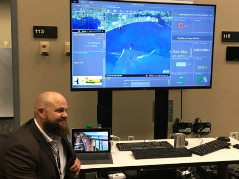
2nd June 2017
Faster and Safer Operations to Navy Missions2nd June 2017
ENERGIC OD: New Important Results In The Apps’ Development2nd June 2017
Bentley Systems to Present at BIM4Water Summer Reception in London UK

1st June 2017
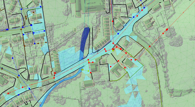
Bluesky Laser Mapping Helps Create Flood Alleviation Model for Yorkshire Water1st June 2017
Smart Cities – What’s in store for our everyday lives, homes and work?1st June 2017
Esri Cited in Gartner Location Intelligence Software Forecast Snapshot31st May 2017
Mapmaker AND releases first High Definition Autonomous Vehicle Maps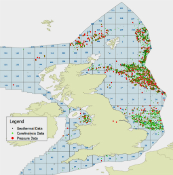
31st May 2017
UK Regulator, Oil & Gas Authority Awards Contract to CGG GeoConsulting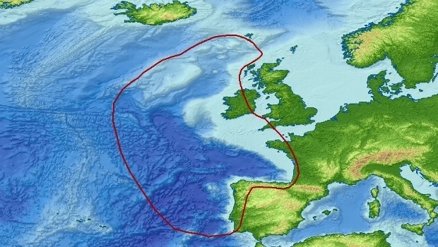
31st May 2017
Getech Brings Greater Insight to Both Sides of the North Atlantic31st May 2017
Logan, Utah, Recognized for Efficiency and Dedication31st May 2017
Discover the Secret to Reshaping a City’s Skyline31st May 2017
IRS data now available free of charge to scientific users31st May 2017
3D Repo Launch BIM Platform with Integrated VR at National Infrastructure Forum
30th May 2017
3D Repo Joins UK Government’s G-Cloud Digital Marketplace30th May 2017
Orbit GT and x-Spatial, USA, sign Reseller Agreement
26th May 2017
The Geological Remote Sensing Group Makes 2017 Student Awards
25th May 2017
Bluesky Aerial Maps Help Assess Risk of Flash Floods24th May 2017
Gartner Supply Chain Executive Conference 201724th May 2017
Gartner Supply Chain Executive Conference 2017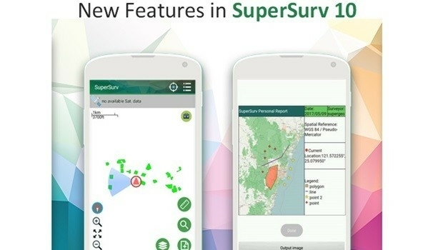
23rd May 2017
New Features of SuperSurv 10 that You Cannot Ignore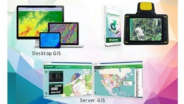
23rd May 2017
Supergeo Will Showcase Its Latest GIS Products at Geosmart Asia 2017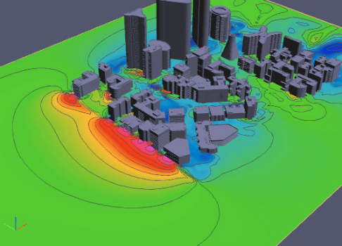
19th May 2017
PDF3D Release 3D PDF Conversion Plugin for ParaView 5.3 Users
19th May 2017
Cityworks and SeeClickFix Help Westland, MI Connect with Citizens